Download
Preview
Add to list
More
6.9 km
~1 hrs 30 min
71 m
Out and Back
“Explore lush forests and historic sites on the scenic, moderately challenging Chesapeake and Ohio Canal Trail from Four Locks.”
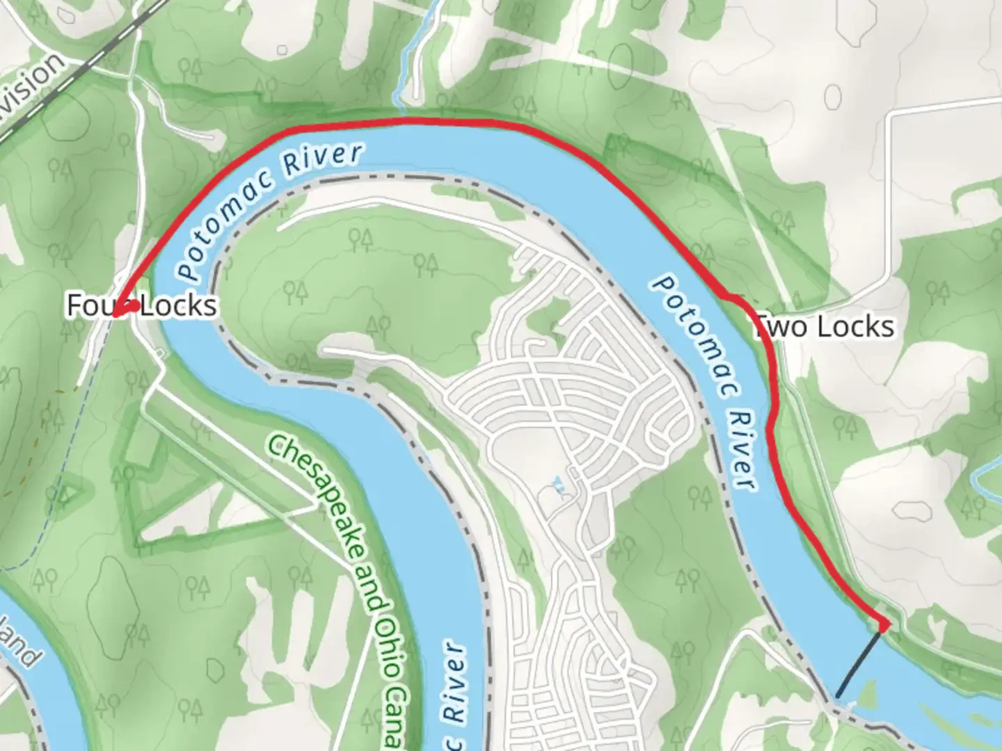
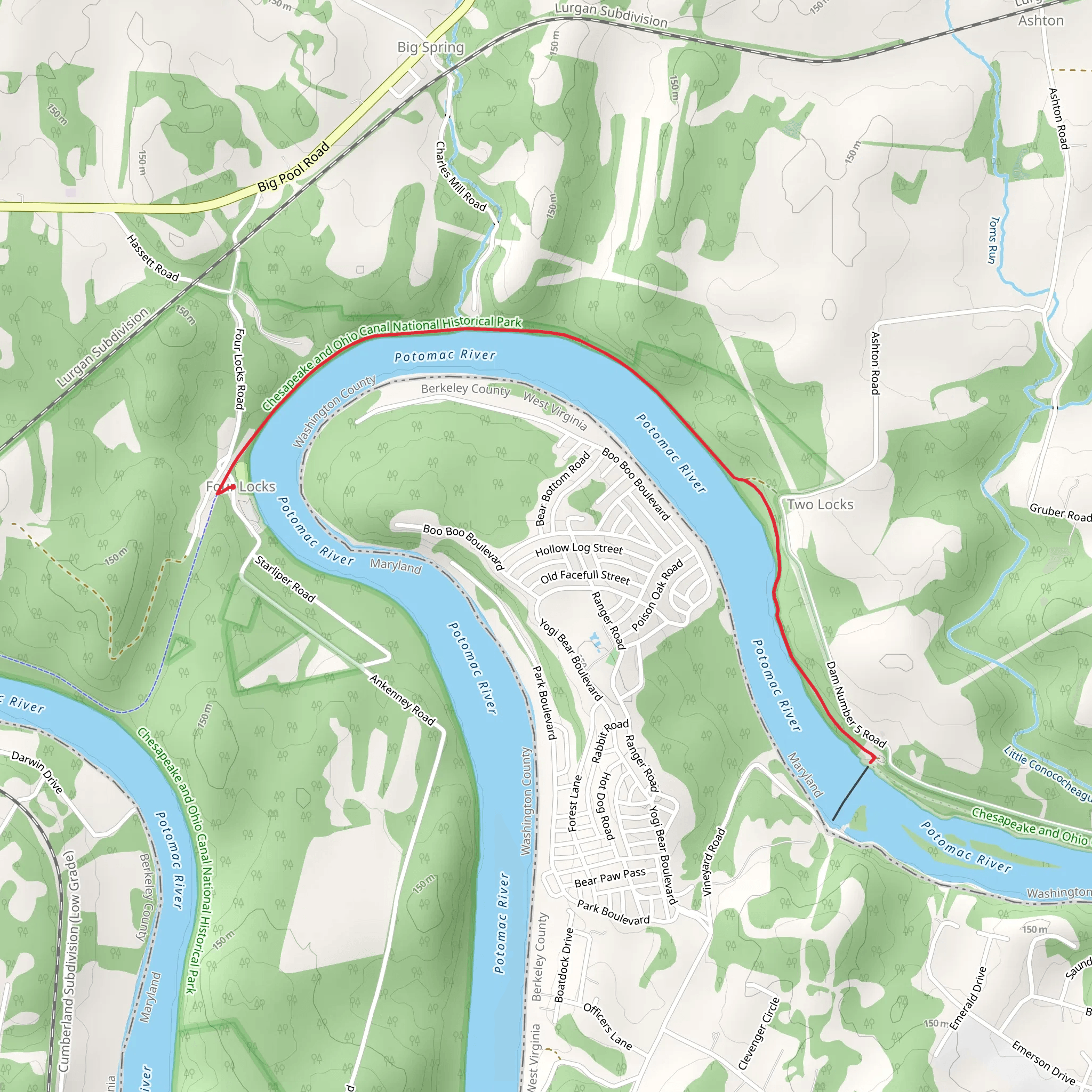
Starting near Washington County, Maryland, the Chesapeake and Ohio Canal Trail from Four Locks offers a scenic and historically rich hiking experience. This out-and-back trail spans approximately 7 kilometers (4.35 miles) with no significant elevation gain, making it accessible for hikers of varying skill levels, though it is rated as medium difficulty due to its length and terrain.
Getting There To reach the trailhead, you can drive to the Four Locks area, which is located near Clear Spring, Maryland. If you're using public transport, the nearest major city is Hagerstown, Maryland. From Hagerstown, you can take a bus or taxi to Clear Spring, and then a short drive or bike ride will get you to the trailhead.
Trail Overview The trail begins at the Four Locks area, a historically significant site along the Chesapeake and Ohio Canal. The Four Locks were constructed between 1836 and 1839 and were designed to help boats navigate a steep section of the canal. As you start your hike, you'll notice the well-preserved lock houses and the canal itself, which offer a glimpse into the engineering marvels of the 19th century.
Historical Significance The Chesapeake and Ohio Canal was a vital transportation route during the 19th century, facilitating the movement of goods between the Potomac River and the Ohio River. The canal played a crucial role in the economic development of the region, and remnants of this era can be seen throughout the trail. Interpretive signs along the way provide detailed information about the canal's history, the lives of the people who worked on it, and its impact on the surrounding communities.
Nature and Wildlife As you continue along the trail, you'll be surrounded by lush forests and the serene waters of the canal. The area is home to a variety of wildlife, including deer, foxes, and numerous bird species. Keep an eye out for great blue herons and bald eagles, which are often spotted near the water. The trail is particularly beautiful in the spring and fall when the foliage is vibrant and the weather is mild.
Points of Interest Approximately 2 kilometers (1.24 miles) into the hike, you'll come across McCoy's Ferry, another historically significant site. This area was once a bustling ferry crossing and has several interpretive signs detailing its history. Continuing further, you'll reach Dam No. 5, which offers stunning views of the Potomac River and is a great spot for a rest and some photos.
Navigation and Safety The trail is well-marked, but it's always a good idea to have a reliable navigation tool. The HiiKER app is an excellent resource for this trail, providing detailed maps and real-time updates. Make sure to bring plenty of water, snacks, and a first-aid kit. While the trail is relatively flat, the terrain can be uneven, so sturdy hiking boots are recommended.
Final Stretch As you make your way back to the Four Locks area, take the time to appreciate the tranquility of the canal and the rich history that surrounds you. The return journey offers a different perspective and the opportunity to spot any wildlife you may have missed on the way out.
This trail is a perfect blend of natural beauty and historical intrigue, making it a rewarding experience for any hiker.
What to expect?
Activity types
Comments and Reviews
User comments, reviews and discussions about the Chesapeake and Ohio Canal Trail from Four Locks, Maryland.
4.53
average rating out of 5
38 rating(s)
