Download
Preview
Add to list
More
89.5 km
~4 days
790 m
Multi-Day
“Embark on a scenic 56-mile trek through Maine's history and wilderness, culminating in a rewarding Houlton arrival.”
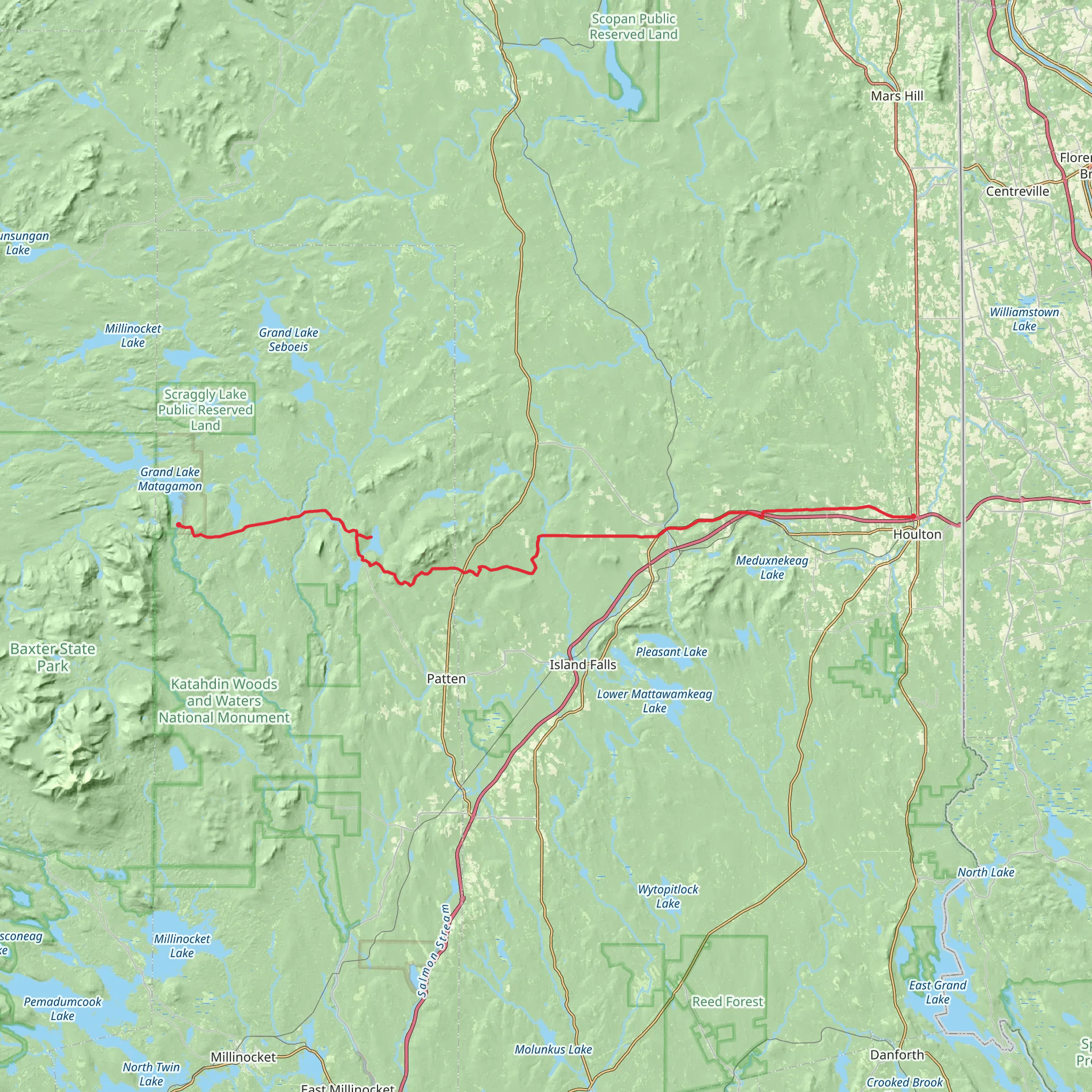
Embarking on the Matagamon to Houlton trail, hikers will traverse approximately 90 kilometers (about 56 miles) through the diverse landscapes of Maine, with an elevation gain of around 700 meters (about 2300 feet). This point-to-point trail is considered to have a medium difficulty rating, offering a blend of challenges and enjoyable hiking experiences.
Getting to the Trailhead
The trailhead is located near Penobscot County, Maine, which is accessible by car. For those relying on public transportation, options may be limited, and it's advisable to check local services for the nearest drop-off points to the trail's start. Once at the trailhead, hikers can prepare for their journey through the picturesque wilderness of Maine.
Navigating the Trail
Hikers can utilize the HiiKER app for detailed maps and navigation assistance throughout their trek. The trail is well-marked, but as with any long-distance hike, it's essential to have a reliable navigation tool to ensure you stay on the correct path.
Landmarks and Nature
As you set out from the trailhead, the path meanders through a mix of dense forest areas and open landscapes, offering a chance to witness Maine's rich biodiversity. The trail crosses several streams and rivers, which are particularly refreshing during the warmer months. Keep an eye out for the local wildlife, including moose, deer, and a variety of bird species.
Historical Significance
The region is steeped in history, with the trail passing through areas that were once significant to the indigenous peoples of Maine. Hikers will also find remnants of early European settlements and logging camps, providing a glimpse into the area's past economic activities.
Elevation and Terrain
The trail's elevation gain is gradual, with the most significant climbs occurring in the first third of the hike. The terrain varies from rocky outcrops to softer forest floors, which can be muddy or slippery depending on the weather. Proper footwear with good grip is essential.
Preparation and Planning
Before setting out, hikers should ensure they have enough supplies for the duration of the hike, as there are limited resupply points along the trail. Water sources are available, but it's crucial to treat water before drinking. Weather in Maine can be unpredictable, so pack layers and be prepared for changes in conditions.
End of the Trail
Upon reaching the end of the trail in Houlton, hikers can celebrate their accomplishment. Houlton offers amenities for rest and recovery, as well as transportation options for the return journey.
What to expect?
Activity types
Comments and Reviews
User comments, reviews and discussions about the Matagamon - Houlton, Maine.
4.64
average rating out of 5
11 rating(s)

