Download
Preview
Add to list
More
50.2 km
~3 days
947 m
Multi-Day
“Embark on a transformative trek through Maine's wild heart, from Katahdin Lake to Matagamon's rugged beauty.”
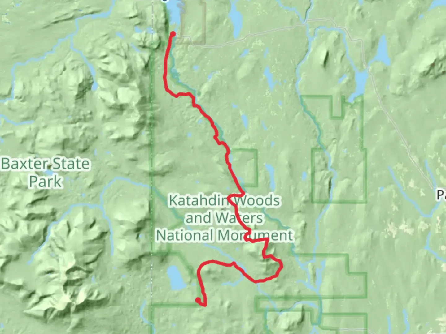
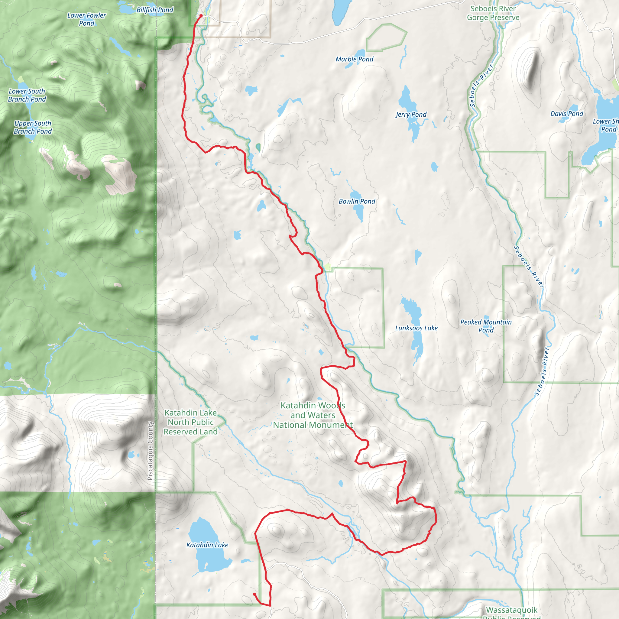
Embarking on the Katahdin Lake to Matagamon trail, hikers will traverse approximately 50 kilometers (31 miles) through the heart of Maine's wilderness, with an elevation gain of around 900 meters (2950 feet). This point-to-point journey begins near Penobscot County, Maine, and is rated as a medium difficulty hike, offering a blend of challenging and rewarding experiences.
Getting to the Trailhead To reach the trailhead, if you're driving, navigate towards Baxter State Park, which is the nearest significant landmark. The trailhead is accessible via the Baxter Park Road, which leads to the Katahdin Lake East Entrance. For those relying on public transport, the closest town with bus services is Millinocket. From there, you may need to arrange a taxi or shuttle service to reach the park entrance.
Navigating the Trail As you set out from the trailhead, the path will lead you through a diverse landscape of dense forests, serene lakes, and rugged terrain. Hikers can utilize the HiiKER app for detailed maps and navigation assistance throughout the journey. The trail is well-marked, but due to its remote nature, it's essential to have a reliable navigation tool.
Landmarks and Natural Beauty The trail offers an array of natural landmarks, including the serene Katahdin Lake, which is a perfect spot for a rest or a refreshing swim. As you progress, you'll encounter the awe-inspiring views of Mount Katahdin, Maine's highest peak, which stands as a sentinel over the region. The trail also passes through the Katahdin Woods and Waters National Monument, offering a glimpse into the area's rich ecological diversity.
Wildlife and Flora The region is home to a variety of wildlife, including moose, black bears, and a plethora of bird species. Hikers should be aware of their surroundings and know how to safely observe wildlife from a distance. The trail is also a botanical wonder, with a mix of hardwood and evergreen forests, wildflowers, and unique alpine plants that thrive in the higher elevations.
Historical Significance The Katahdin area holds great historical significance, particularly for the indigenous Wabanaki people who have lived in this region for thousands of years. The trail itself traverses lands that have been important for hunting, fishing, and spiritual practices. Additionally, the trail is part of the larger Appalachian Trail network, which has been a historic footpath for hikers from around the world.
Preparation and Planning Before embarking on this hike, it's crucial to be well-prepared. Ensure you have adequate supplies, including water, food, and layers for changing weather conditions. Given the trail's length and remote nature, it's advisable to plan for a multi-day trek, with appropriate camping gear if you intend to stay overnight in the backcountry.
Safety and Etiquette Always practice Leave No Trace principles to preserve the natural beauty of the trail. Be prepared for sudden weather changes, and carry a first aid kit for emergencies. It's also important to inform someone of your hiking plans and expected return time.
By following these guidelines and being prepared, hikers can fully enjoy the natural splendor and historical richness of the Katahdin Lake to Matagamon trail.
Comments and Reviews
User comments, reviews and discussions about the Katahdin Lake - Matagamon, Maine.
4.38
average rating out of 5
13 rating(s)
