Download
Preview
Add to list
More
34.2 km
~1 day 2 hrs
585 m
Point-to-Point
“Embark on the Sheltowee Trace Trail for an immersive hike through Kentucky's rich history and diverse wilderness.”
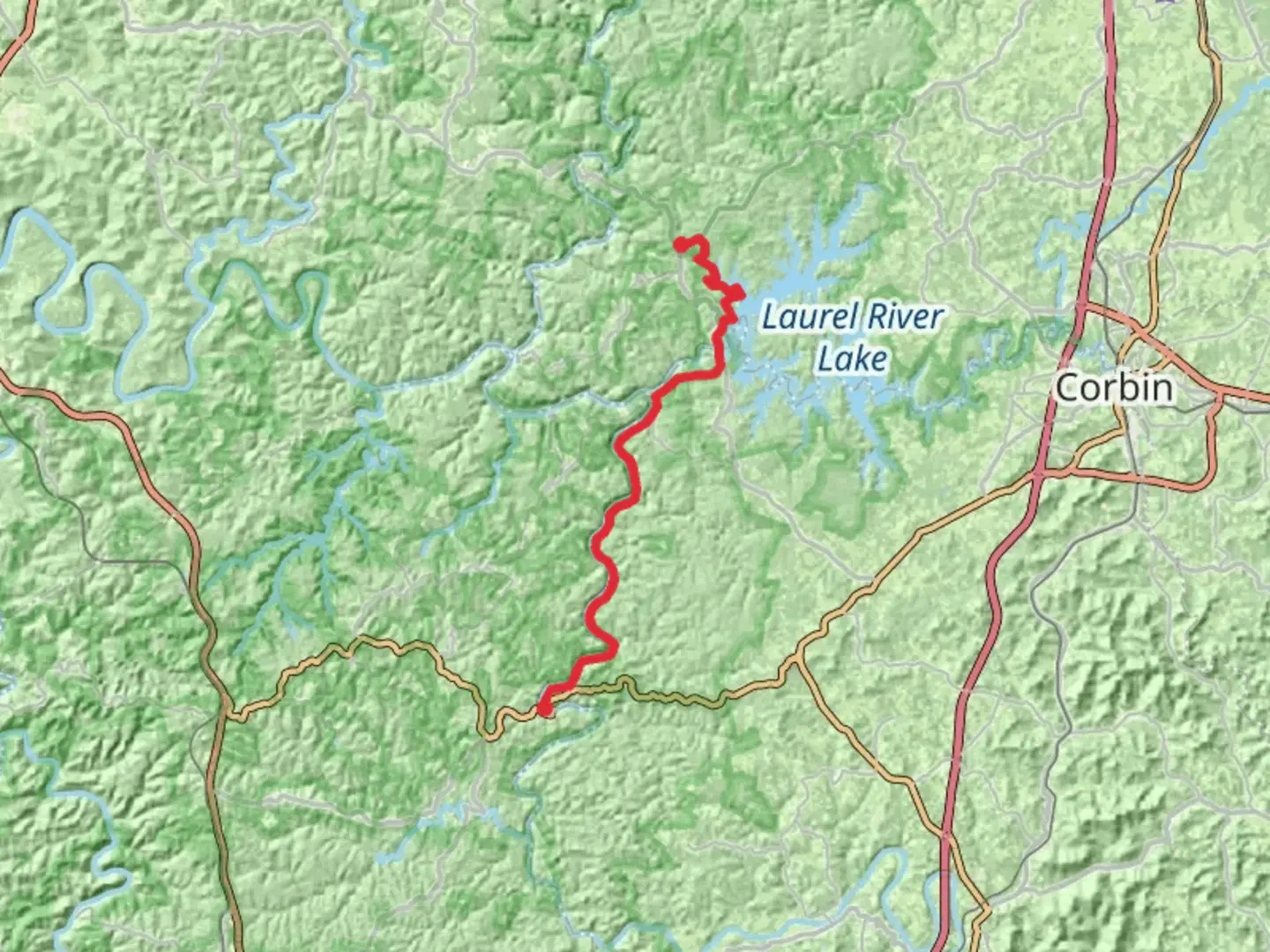
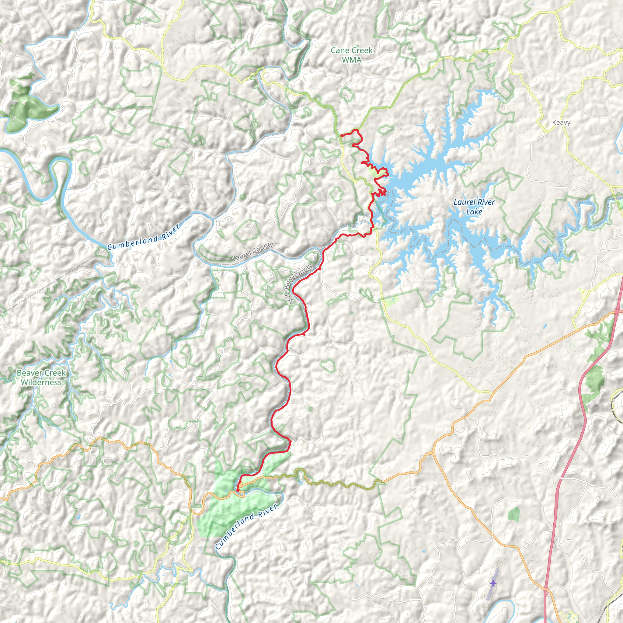
The Sheltowee Trace Trail, stretching approximately 34 kilometers (about 21 miles) with an elevation gain of around 500 meters (approximately 1640 feet), offers a diverse and engaging hiking experience through the heart of Kentucky's natural landscapes. Starting near Whitley County, this point-to-point trail is rated as medium difficulty, making it accessible to hikers with some experience looking for a challenge without being overwhelming.Getting to the TrailheadTo reach the trailhead, hikers can drive to the Daniel Boone National Forest area, near Whitley County, Kentucky. The starting point is most easily accessed by car, as public transportation options may be limited in this rural region. For those using navigation tools, HiiKER can provide precise directions to the trailhead, ensuring a smooth start to the adventure.Navigating the TrailThe trail meanders through dense forests, over rolling hills, and alongside serene streams, offering a variety of landscapes that capture the essence of Kentucky's wilderness. Hikers should be prepared for a mix of terrains, including rocky outcrops, muddy sections after rain, and potentially slippery creek crossings.Landmarks and Natural FeaturesAs you progress along the Sheltowee Trace Trail, you'll encounter several notable landmarks. One such feature is the Cumberland Falls, sometimes referred to as the "Niagara of the South," which is a spectacular sight, especially after heavy rainfall. The falls are located approximately 10 kilometers (about 6 miles) from the trailhead.Further along, the trail intersects with numerous creeks where hikers can cool off and refill water supplies, though it's essential to treat water before drinking. The trail also offers several scenic overlooks, providing expansive views of the surrounding forest canopy and the opportunity to spot local wildlife, including deer, wild turkeys, and a variety of bird species.Historical SignificanceThe region is steeped in history, with the trail itself named after the Shawnee leader Tecumseh, known as the "Sheltowee" or "Big Turtle." Hikers will be walking paths that hold centuries of stories, from Native American heritage to early pioneer exploration.Preparation and PlanningBefore setting out, hikers should ensure they have adequate supplies, including water, food, and a first-aid kit. Weather in Kentucky can be unpredictable, so layered clothing and rain gear are advisable. Additionally, a map and compass or a GPS device with the HiiKER app downloaded for offline use are essential for navigation, as cell service can be spotty.Wildlife and ConservationThe trail traverses through habitats that are home to diverse flora and fauna. Hikers are encouraged to practice Leave No Trace principles to preserve the natural beauty and minimize their impact on the environment. This includes packing out all trash, being mindful of wildlife, and staying on designated trails to prevent erosion and protect native plant species.AccessibilityWhile the trail is rated medium in difficulty, it's important to assess personal fitness levels and hiking experience before attempting the full distance. There are several access points along the trail for those who prefer shorter hikes or wish to tackle the trail in sections.By preparing adequately and respecting the natural and historical significance of the Sheltowee Trace Trail, hikers can look forward to an enriching outdoor experience that captures the essence of Kentucky's wilderness and heritage.
What to expect?
Activity types
Comments and Reviews
User comments, reviews and discussions about the Sheltowee Trace Trail, Kentucky.
4.58
average rating out of 5
84 rating(s)
