Download
Preview
Add to list
More
8.6 km
~2 hrs 20 min
374 m
Loop
“Explore natural beauty and history on the moderately challenging 9 km Canal and Canal Connector C Loop Trail.”
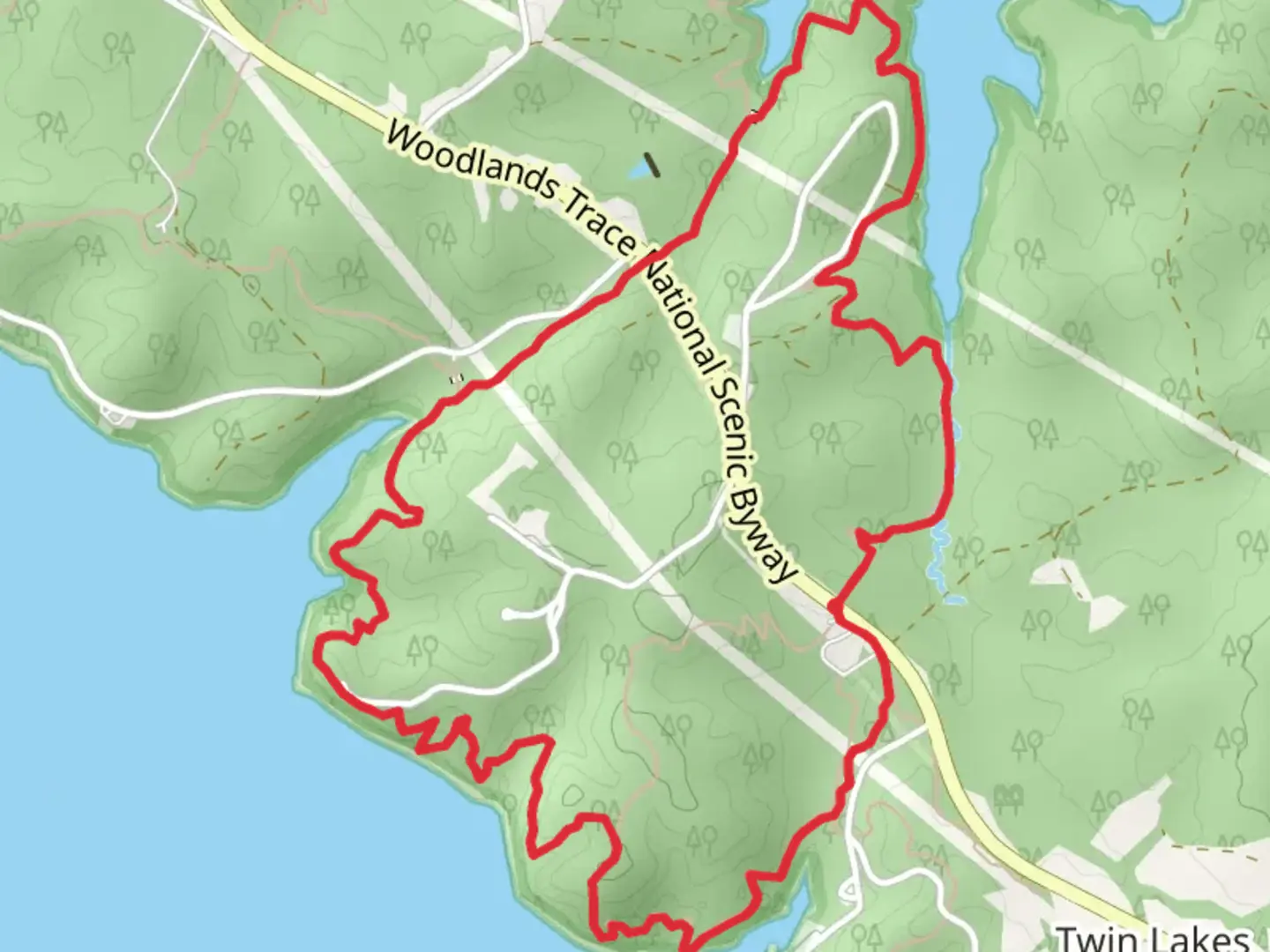
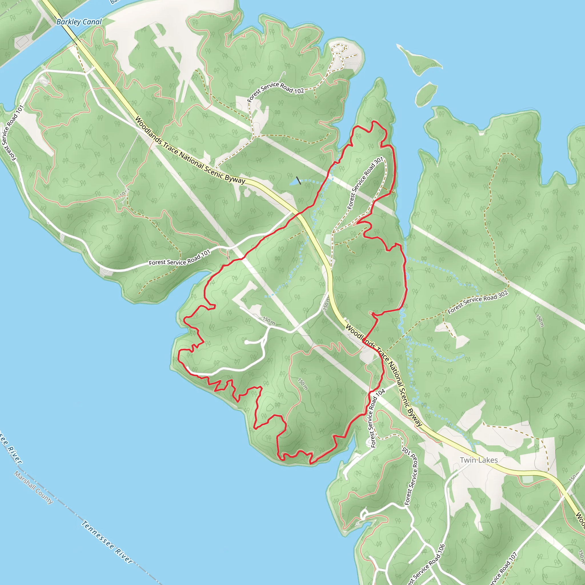
Starting near Lyon County, Kentucky, the Canal and Canal Connector C Loop Trail offers a moderately challenging hike with a distance of approximately 9 kilometers (5.6 miles) and an elevation gain of around 300 meters (984 feet). This loop trail is perfect for those looking to immerse themselves in the natural beauty and historical significance of the area.### Getting ThereTo reach the trailhead, you can drive or use public transport. If driving, head towards the Land Between the Lakes National Recreation Area, which is the nearest significant landmark. The trailhead is accessible from the main road, and there is ample parking available. For those using public transport, the nearest bus stop is in Eddyville, Kentucky. From there, you can take a taxi or rideshare service to the trailhead.### Trail OverviewThe trail begins with a gentle ascent, winding through dense forests that are home to a variety of wildlife, including deer, wild turkeys, and numerous bird species. The first kilometer (0.6 miles) is relatively easy, allowing you to acclimate to the surroundings and enjoy the serene environment.### Historical SignificanceAs you progress, you'll come across remnants of the old canal system, which dates back to the early 19th century. This area was once a bustling hub for transportation and trade, and you can still see the stone foundations and old locks that were used to navigate the waterways. These historical landmarks are located around the 3-kilometer (1.9-mile) mark and offer a fascinating glimpse into the past.### Mid-Trail HighlightsAround the halfway point, approximately 4.5 kilometers (2.8 miles) in, the trail reaches its highest elevation. Here, you'll be rewarded with stunning panoramic views of the surrounding landscape, including the lush forests and the distant waters of Lake Barkley. This is an excellent spot for a rest and some photography.### Navigational TipsThe trail is well-marked, but it's always a good idea to have a reliable navigation tool. HiiKER is highly recommended for this purpose, as it provides detailed maps and real-time updates to ensure you stay on track.### Flora and FaunaAs you descend, the trail meanders through a variety of ecosystems, from dense hardwood forests to open meadows. Keep an eye out for the diverse plant life, including wildflowers in the spring and vibrant foliage in the fall. The lower sections of the trail are also home to small streams and wetlands, which attract a variety of amphibians and insects.### Final StretchThe last 2 kilometers (1.2 miles) of the trail are relatively flat and easy, making for a pleasant end to your hike. You'll loop back towards the trailhead, passing through more forested areas and possibly encountering some of the local wildlife.This trail offers a perfect blend of natural beauty, historical intrigue, and moderate physical challenge, making it an excellent choice for hikers of all levels.
What to expect?
Activity types
Comments and Reviews
User comments, reviews and discussions about the Canal and Canal Connector C Loop Trail, Kentucky.
4.45
average rating out of 5
83 rating(s)
