Download
Preview
Add to list
More
13.2 km
~3 hrs 16 min
380 m
Loop
“Experience Kentucky's natural beauty and history on the moderately challenging 13 km Claylick Loop Trail.”
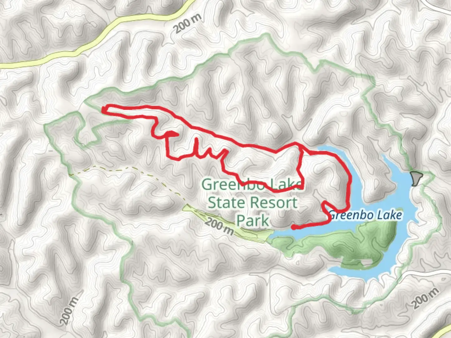
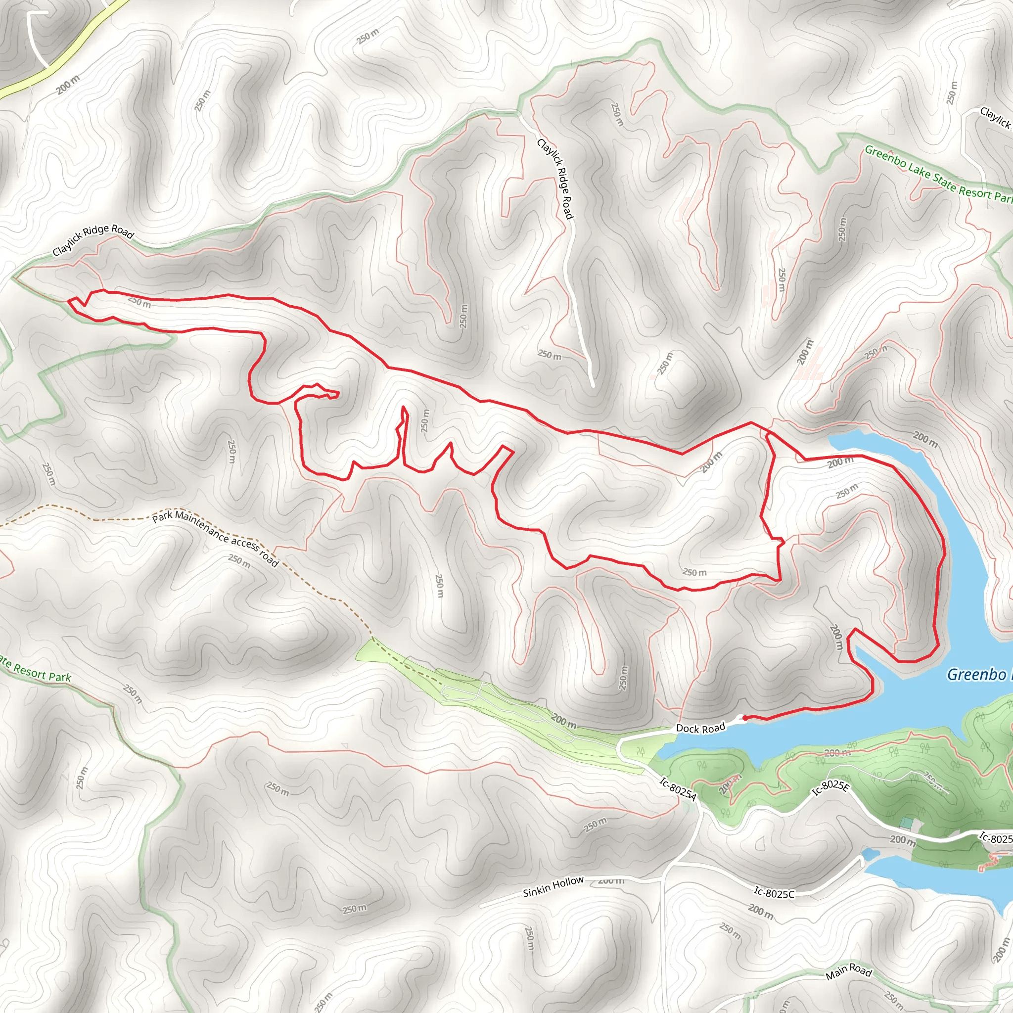
Starting near Greenup County, Kentucky, the Claylick Loop Trail offers a moderately challenging hike with a distance of approximately 13 kilometers (8 miles) and an elevation gain of around 300 meters (984 feet). This loop trail is perfect for those looking to immerse themselves in the natural beauty and historical richness of the area.### Getting There To reach the trailhead, you can drive or use public transportation. If driving, head towards Greenup County, Kentucky, and look for the nearest significant landmark, which is the Greenbo Lake State Resort Park. The trailhead is located near this park, making it a convenient starting point. For those using public transport, the nearest bus stop is in Greenup, from where you can take a taxi or rideshare service to the trailhead.### Trail Overview The Claylick Loop Trail is a well-marked path that takes you through a variety of landscapes, including dense forests, open meadows, and along the edges of serene lakes. The trail is a loop, so you will end up back at your starting point, making it easy to navigate.### Key Landmarks and Points of Interest - Greenbo Lake: Approximately 2 kilometers (1.2 miles) into the hike, you will come across Greenbo Lake. This is a great spot to take a break, enjoy the view, and perhaps even spot some local wildlife such as deer or various bird species. - Claylick Hollow: Around the 5-kilometer (3.1 miles) mark, you will enter Claylick Hollow, a picturesque area known for its lush vegetation and tranquil atmosphere. This section of the trail is relatively flat, making it a good place to catch your breath. - Historical Significance: The region around Greenup County has a rich history, including Native American heritage and early settler activity. While hiking, you may come across old stone walls and remnants of early homesteads, offering a glimpse into the past.### Elevation and Terrain The trail features an elevation gain of approximately 300 meters (984 feet), with the most significant climbs occurring in the first half of the hike. The terrain varies from well-trodden paths to rocky sections, so sturdy hiking boots are recommended. The highest point of the trail offers panoramic views of the surrounding landscape, making the climb well worth the effort.### Wildlife and Flora The Claylick Loop Trail is home to a diverse range of flora and fauna. Keep an eye out for wildflowers in the spring and summer months, and enjoy the vibrant fall foliage if hiking in autumn. Wildlife sightings may include white-tailed deer, wild turkeys, and a variety of songbirds. Always remember to respect the wildlife and maintain a safe distance.### Navigation For navigation, it is highly recommended to use the HiiKER app, which provides detailed maps and real-time updates on the trail conditions. This will help ensure you stay on the correct path and can enjoy your hike without any navigational worries.### Preparation Tips - Water and Snacks: Make sure to bring enough water and snacks to keep your energy levels up, especially during the more strenuous sections of the trail. - Weather: Check the weather forecast before heading out, as conditions can change rapidly. Dress in layers to accommodate varying temperatures. - Safety: Always let someone know your hiking plans and estimated return time. Carry a basic first aid kit and a fully charged mobile phone for emergencies.The Claylick Loop Trail offers a rewarding hike through some of Kentucky's most beautiful and historically significant landscapes. Whether you're a seasoned hiker or a beginner looking for a moderate challenge, this trail has something for everyone.
What to expect?
Activity types
Comments and Reviews
User comments, reviews and discussions about the Claylick Loop Trail, Kentucky.
4.55
average rating out of 5
58 rating(s)
