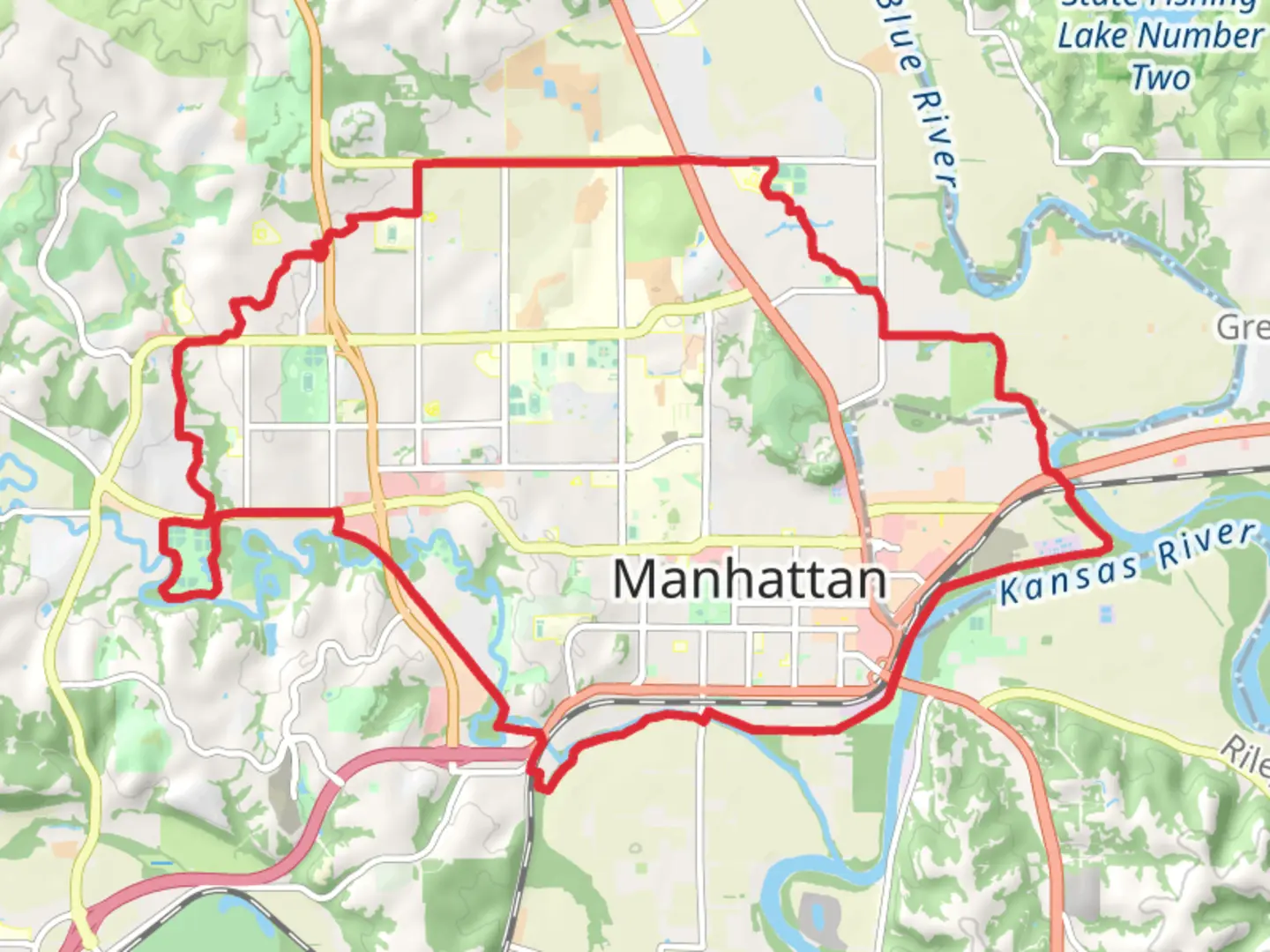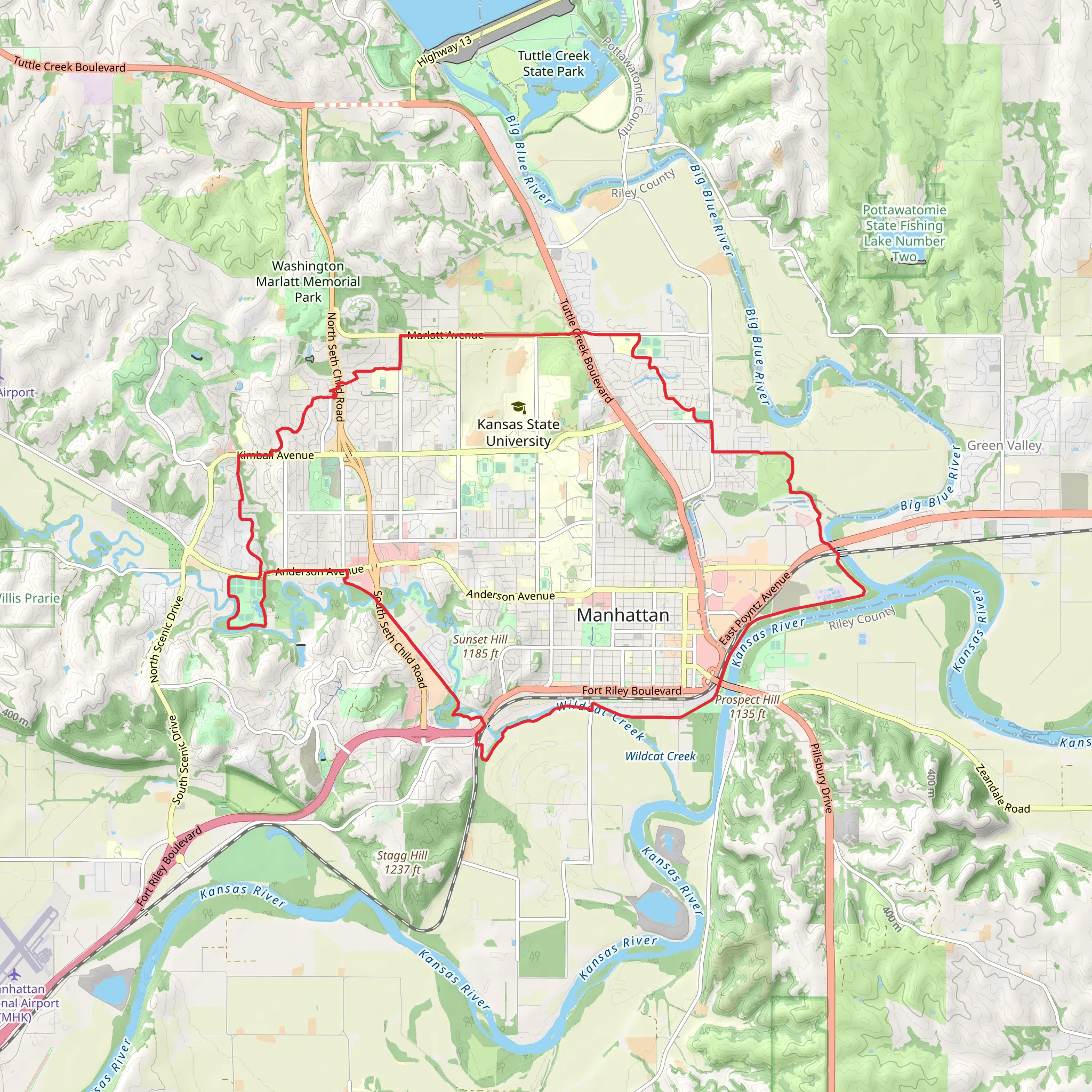
Anneberg Park Trail, Cesil Best Birding Trail and Southeast Park Loop
Download
Preview
Add to list
More
30.3 km
~1 day 1 hrs
215 m
Loop
“Explore diverse landscapes, birdwatching, and historical sites on this moderately challenging 30 km loop near Riley County.”
Starting near Riley County, Kansas, this 30 km (18.6 miles) loop trail offers a moderate challenge with an elevation gain of approximately 200 meters (656 feet). The trailhead is conveniently located near Anneberg Park, making it accessible for both locals and visitors.
Getting There To reach the trailhead, you can drive or use public transportation. If driving, head towards Anneberg Park, located at 3801 Anderson Ave, Manhattan, KS 66503. For those using public transport, the nearest bus stop is at the intersection of Anderson Ave and Seth Child Rd, serviced by the ATA Bus system. From there, it's a short walk to the park entrance.
Trail Overview The trail is a loop, combining the Anneberg Park Trail, Cesil Best Birding Trail, and Southeast Park Loop. This combination offers a diverse hiking experience, featuring a mix of open fields, wooded areas, and wetland habitats.
Anneberg Park Trail Starting at Anneberg Park, the first section of the trail is relatively flat and well-maintained, making it an excellent warm-up. The park itself is a popular spot for families and offers amenities such as restrooms, picnic areas, and playgrounds. As you move away from the park, the trail begins to ascend gradually, offering views of the surrounding countryside.
Cesil Best Birding Trail Approximately 10 km (6.2 miles) into the hike, you'll transition onto the Cesil Best Birding Trail. This section is a haven for birdwatchers, featuring a variety of species such as red-tailed hawks, great blue herons, and numerous songbirds. The trail meanders through a mix of wetlands and forested areas, providing ample opportunities for wildlife observation. Keep your binoculars handy and tread quietly to maximize your chances of spotting rare birds.
Southeast Park Loop The final section of the hike is the Southeast Park Loop, which brings you back towards the starting point. This part of the trail is more rugged, with a few steep inclines and rocky paths. The elevation gain here is around 100 meters (328 feet), offering a bit of a challenge but also rewarding you with panoramic views of the Flint Hills. The loop also passes by a small lake, perfect for a short break or a picnic.
Historical Significance The region around Riley County has a rich history, dating back to the Native American tribes who originally inhabited the area. The Flint Hills, visible from various points along the trail, were historically used as hunting grounds. In the 19th century, the area saw an influx of settlers, and remnants of old homesteads can still be found along the trail. Keep an eye out for informational plaques that provide insights into the local history and geology.
Navigation and Safety For navigation, it's highly recommended to use the HiiKER app, which provides detailed maps and real-time updates. The trail is well-marked, but having a reliable navigation tool will ensure you stay on track. Always carry sufficient water, snacks, and a basic first-aid kit. The weather can be unpredictable, so check the forecast and dress in layers.
This trail offers a well-rounded hiking experience, combining natural beauty, wildlife, and a touch of history. Whether you're a seasoned hiker or a casual walker, this loop has something for everyone.
What to expect?
Activity types
Comments and Reviews
User comments, reviews and discussions about the Anneberg Park Trail, Cesil Best Birding Trail and Southeast Park Loop, Kansas.
4.48
average rating out of 5
88 rating(s)
