Download
Preview
Add to list
More
10.4 km
~2 hrs 30 min
257 m
Loop
“The Coolmelagh - Gibbet Hill Loop offers a scenic 10 km hike with historical landmarks and diverse wildlife.”
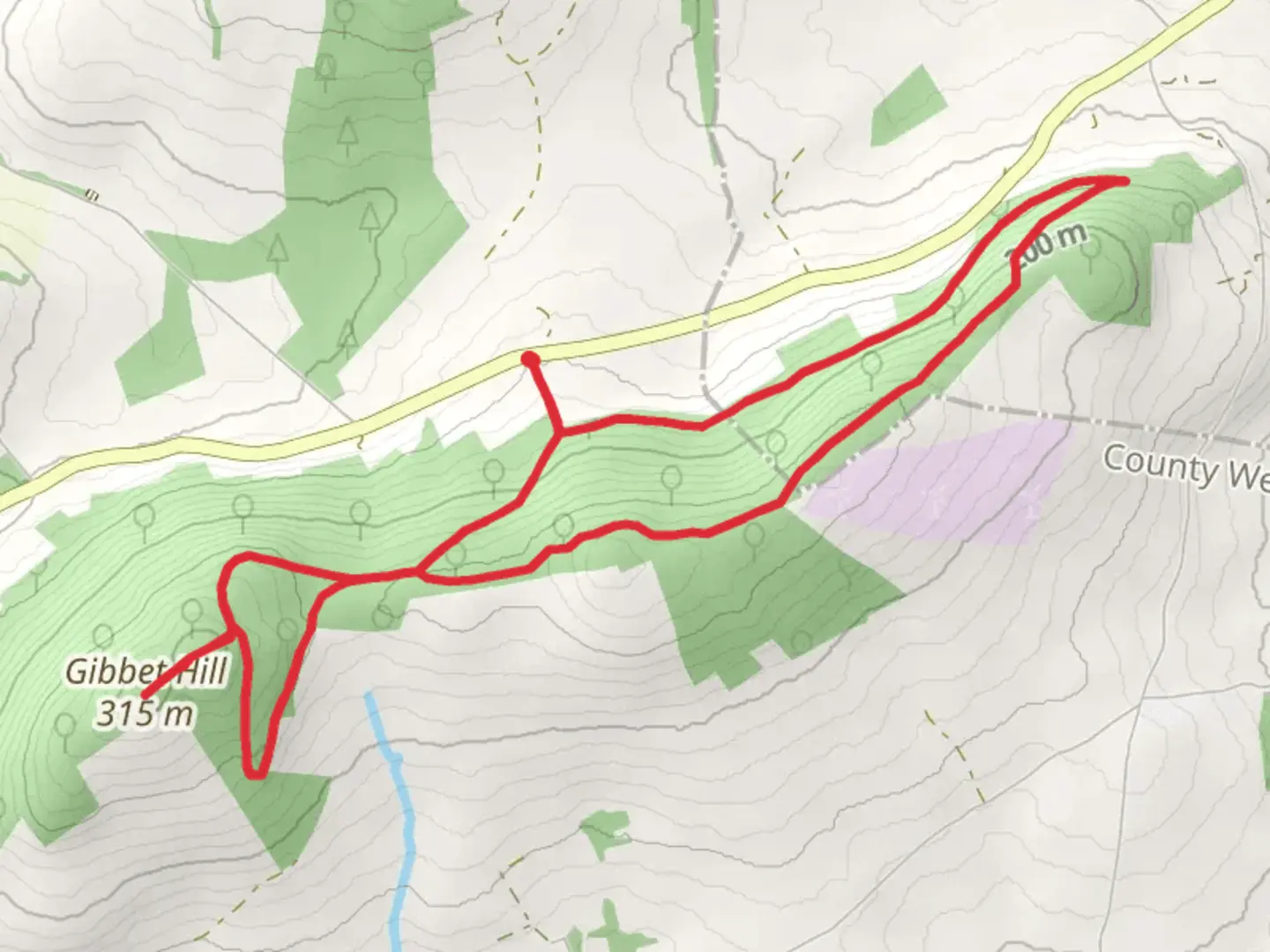
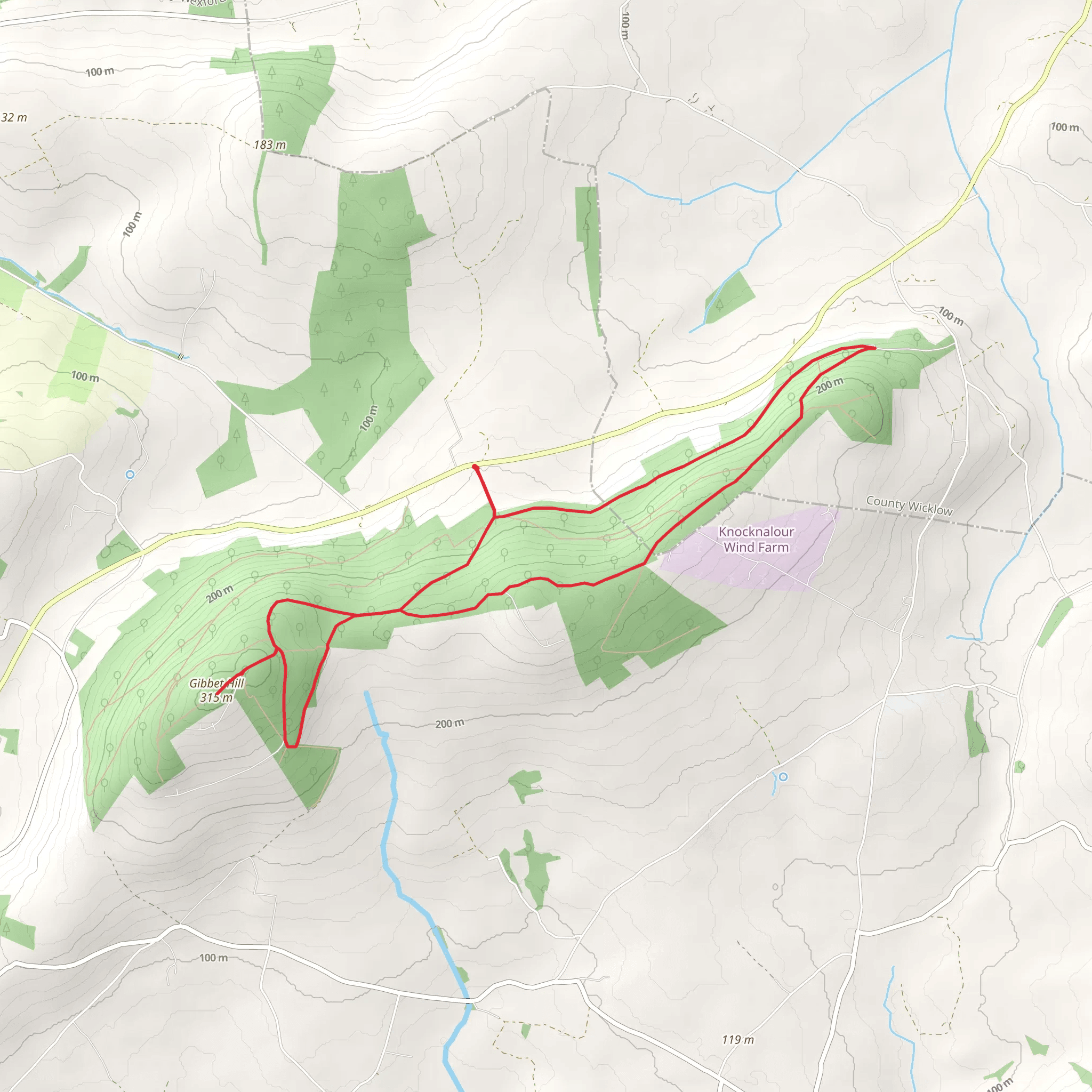
Starting near County Wexford, Ireland, the Coolmelagh - Gibbet Hill Loop is a scenic 10 km (6.2 miles) trail with an elevation gain of around 200 meters (656 feet). This loop trail is rated as medium difficulty, making it suitable for moderately experienced hikers.
Getting There To reach the trailhead, you can drive or use public transport. If driving, head towards the village of Bunclody, which is the nearest significant landmark. From Bunclody, follow the signs towards Coolmelagh Forest. There is a small parking area near the forest entrance where you can leave your car. For those using public transport, take a bus to Bunclody and then a taxi or local transport to the trailhead.
Trail Overview The trail begins at the Coolmelagh Forest entrance, where you will immediately be greeted by a lush canopy of trees. The first section of the trail is relatively flat, allowing you to ease into the hike. After about 2 km (1.2 miles), you will start to notice a gradual incline as you make your way towards Gibbet Hill.
Significant Landmarks and Nature As you ascend, keep an eye out for the diverse flora and fauna. The forest is home to various bird species, including robins and blackbirds, and you might even spot a red squirrel if you're lucky. The trail is well-marked, but it's always a good idea to have the HiiKER app for navigation.
At approximately 4 km (2.5 miles) into the hike, you will reach a clearing that offers panoramic views of the surrounding countryside. This is a great spot to take a break and enjoy the scenery. The elevation gain here is around 100 meters (328 feet) from the start, giving you a sense of accomplishment.
Historical Significance Gibbet Hill itself holds historical significance. In the 18th century, it was a site where criminals were executed and displayed as a deterrent to others. While the practice is long gone, the hill remains a poignant reminder of the area's history. There is a small plaque at the summit that provides more information about this dark chapter.
Final Stretch After reaching the summit of Gibbet Hill, the trail begins to descend. The descent is more gradual, allowing you to enjoy the natural beauty without too much strain. Around the 8 km (5 miles) mark, you will re-enter the denser part of Coolmelagh Forest. The final 2 km (1.2 miles) loop back to the starting point, completing your journey.
Wildlife and Flora Throughout the hike, you'll encounter a variety of plant species, including oak, ash, and birch trees. The undergrowth is rich with ferns and wildflowers, particularly in the spring and summer months. Wildlife is abundant, so keep your eyes peeled for deer, foxes, and a variety of bird species.
Preparation Tips Given the medium difficulty rating, it's advisable to wear sturdy hiking boots and bring plenty of water. Weather in this region can be unpredictable, so pack a rain jacket and some extra layers. The trail can be muddy in sections, especially after rain, so be prepared for potentially slippery conditions.
By following these guidelines and using the HiiKER app for navigation, you'll be well-prepared to enjoy the Coolmelagh - Gibbet Hill Loop.
Comments and Reviews
User comments, reviews and discussions about the Coolmelagh - Gibbet Hill Loop, Ireland.
4.68
average rating out of 5
22 rating(s)
