Download
Preview
Add to list
More
13.8 km
~3 hrs 20 min
352 m
Loop
“Discover the Coolmelagh Loop: a 14 km trail in County Wexford blending natural beauty and historical intrigue.”
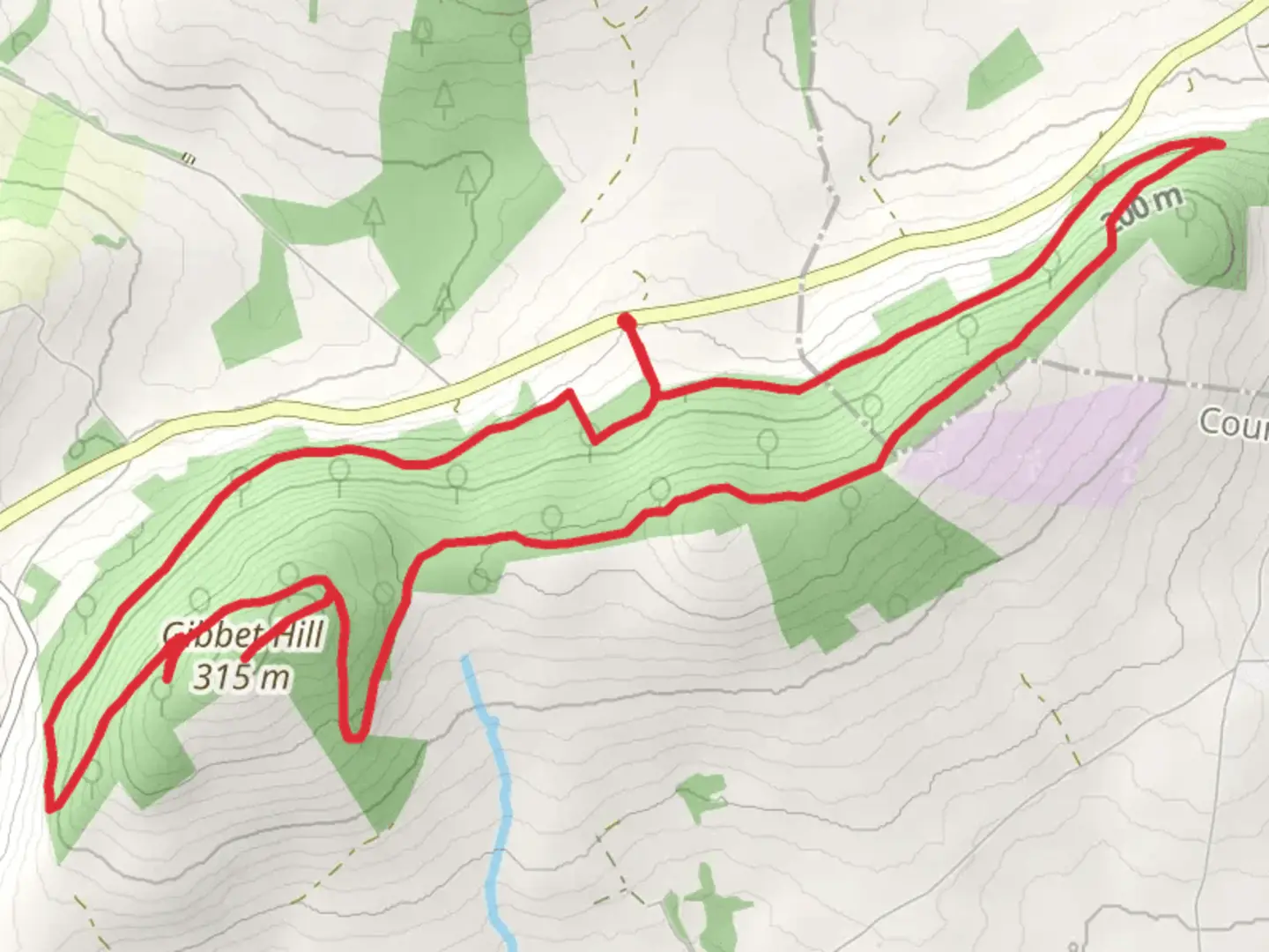
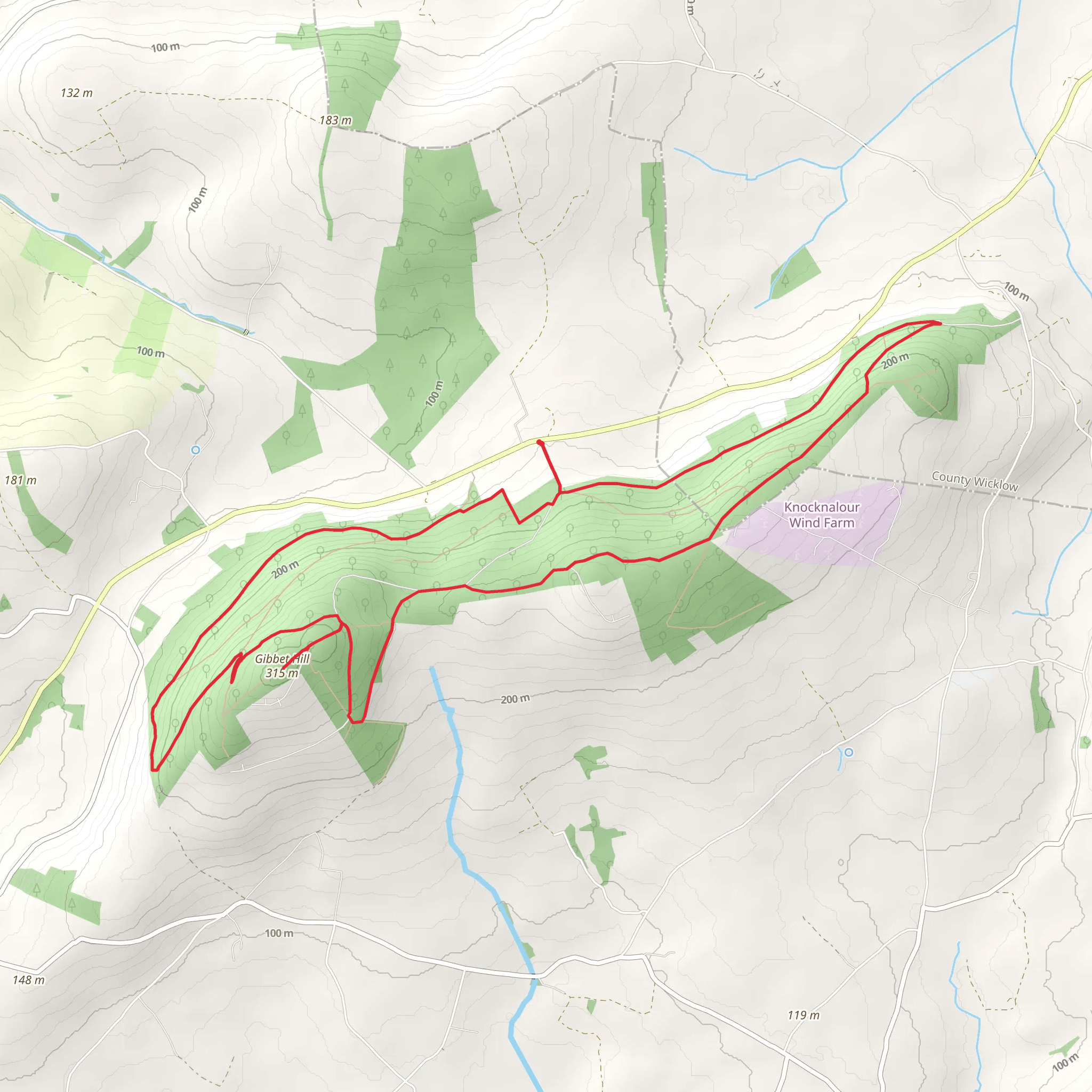
Starting near County Wexford, Ireland, the Coolmelagh - Coolmelagh Loop is a delightful 14 km (approximately 8.7 miles) loop trail with an elevation gain of around 300 meters (984 feet). This medium-difficulty trail offers a blend of natural beauty, historical significance, and a moderate challenge suitable for most hikers.
Getting There To reach the trailhead, you can drive or use public transport. If driving, set your GPS to the nearest known address, which is the village of Bunclody, County Wexford. From Bunclody, follow local signage to the trailhead. For those using public transport, take a bus to Bunclody and then a taxi or local transport to the trailhead.
Trail Overview The Coolmelagh - Coolmelagh Loop begins with a gentle ascent through lush woodlands, offering a serene start to your hike. The initial 3 km (1.9 miles) will take you through dense forests, where you can spot native Irish flora such as oak, ash, and hazel trees. Keep an eye out for local wildlife, including red squirrels and various bird species.
Historical Significance As you progress, you'll come across remnants of ancient settlements and old stone walls, hinting at the area's rich history. This region has been inhabited for centuries, and you may even find traces of old farmsteads and boundary markers. The trail also passes near the site of an old quarry, which played a significant role in the local economy during the 19th century.
Mid-Trail Highlights Around the 7 km (4.3 miles) mark, you'll reach the highest point of the trail, offering panoramic views of the surrounding countryside. This is an excellent spot for a break and some photography. The elevation gain here is about 150 meters (492 feet) from the trailhead, providing a moderate challenge without being overly strenuous.
Navigation and Safety The trail is well-marked, but it's always wise to have a reliable navigation tool. Use HiiKER to download the trail map and keep track of your progress. The app will also provide real-time updates on weather conditions and any trail closures.
Flora and Fauna As you descend, the landscape changes to open meadows and rolling hills. This section is particularly beautiful in spring and summer when wildflowers are in full bloom. You might also encounter grazing sheep and cattle, so be respectful of farm boundaries and livestock.
Final Stretch The last 4 km (2.5 miles) of the trail bring you back through mixed woodlands and along a gentle stream. This part of the hike is relatively easy, allowing you to cool down and enjoy the tranquil surroundings. The trail loops back to the starting point, completing your 14 km (8.7 miles) journey.
Practical Tips - Wear sturdy hiking boots, as the terrain can be uneven. - Bring plenty of water and snacks, especially if you plan to take breaks. - Check the weather forecast on HiiKER before you set out. - Be mindful of local wildlife and practice Leave No Trace principles.
This trail offers a perfect blend of natural beauty, historical intrigue, and moderate physical challenge, making it a rewarding experience for any hiker.
Comments and Reviews
User comments, reviews and discussions about the Coolmelagh - Coolmelagh Loop, Ireland.
4.44
average rating out of 5
16 rating(s)
