Download
Preview
Add to list
More
13.8 km
~4 hrs 7 min
826 m
Loop
“Traverse the scenic heights of Waterford's mountains on an invigorating 14 km loop, steeped in natural splendor and historical mystique.”
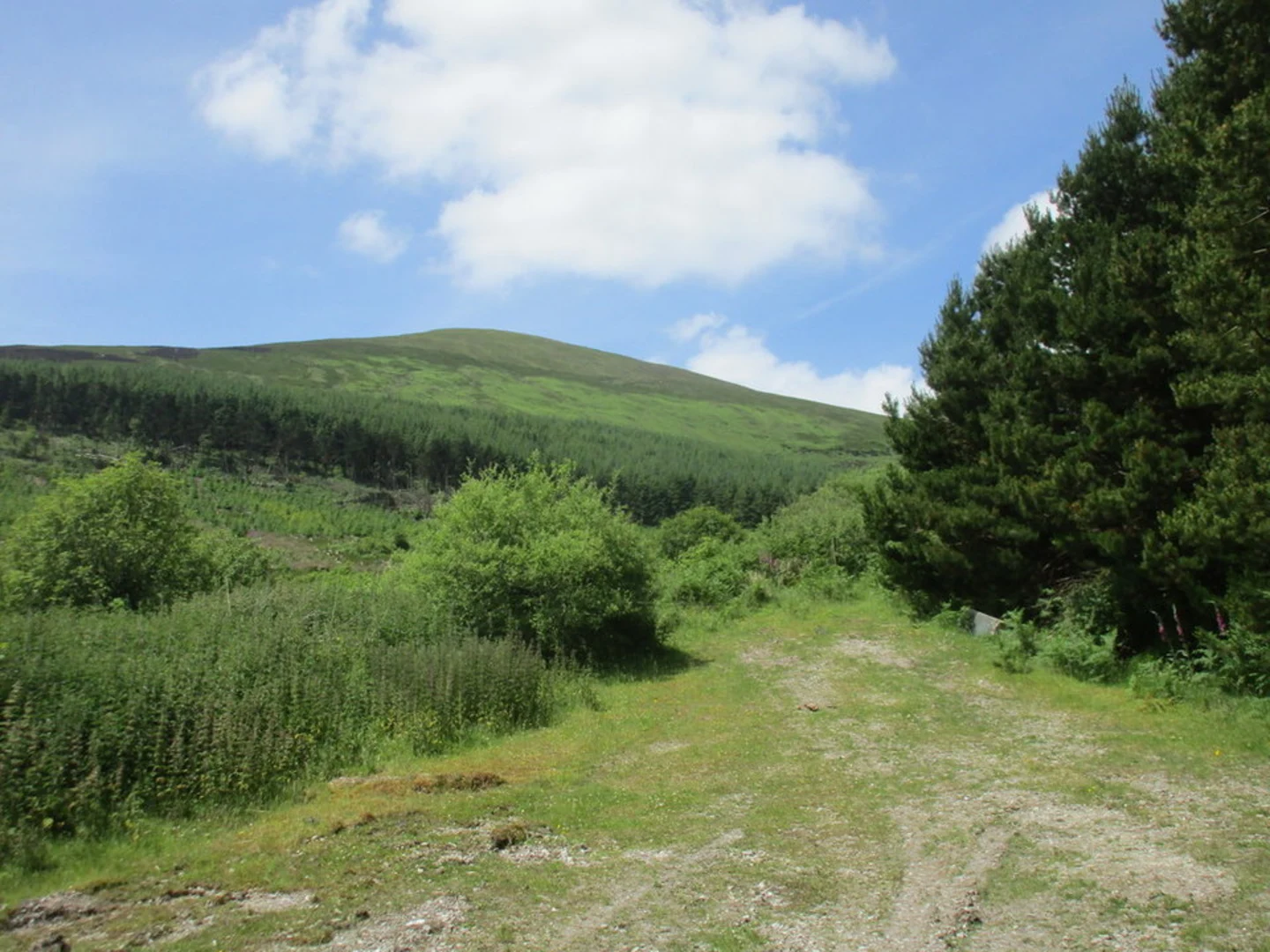
Embarking on the Knocknafallia, Knocknagnauv, and Knockmealdown Loop, hikers will experience the raw beauty of the Comeragh and Knockmealdown mountain ranges in County Waterford, Ireland. This approximately 14 km (8.7 miles) loop trail, with an elevation gain of around 800 meters (2625 feet), offers a medium difficulty level, making it accessible to hikers with a reasonable level of fitness.
Getting to the Trailhead
The trailhead is located near the village of Newcastle in County Waterford. For those driving, the start of the trail can be reached by taking the N72 national secondary road to the R668, which leads towards the mountains. There is a parking area near the trailhead where hikers can leave their vehicles.
Public transport options are limited in this rural area, so it's advisable to check local bus schedules or consider a taxi service from larger towns such as Clonmel or Dungarvan if you're not driving.
The Hike Itself
The hike begins with a steady ascent through a mixture of open mountain terrain and some sections of heather and boggy ground. Waterproof boots are recommended due to the often wet conditions underfoot. The initial climb brings you to the summit of Knocknafallia, the first of the three peaks, which stands at 668 meters (2192 feet). From here, you'll be rewarded with expansive views of the surrounding landscape.
Continuing on, the trail undulates towards Knocknagnauv, reaching an elevation of 655 meters (2149 feet). This section can be particularly windy, so appropriate windproof gear is essential. The path is well-defined, but carrying a navigation tool like HiiKER is advisable to stay on track, especially in poor visibility.
The final ascent is towards Knockmealdown, the highest peak in the range at 794 meters (2605 feet). The effort is well worth it, as on a clear day, the summit offers panoramic views that can extend as far as the Galtee Mountains to the north and the coast to the south.
Flora, Fauna, and Historical Significance
The area is rich in both natural and historical significance. The slopes are home to a variety of wildlife, including red deer and birds of prey such as the peregrine falcon. The heathland is dotted with wildflowers, including the purple moor-grass and bell heather, which bloom in the summer months.
Historically, the Knockmealdown Mountains have been a significant landmark. The range forms a natural border between County Waterford and County Tipperary and has been a backdrop to many events in Irish history. The mountains are also known for the ancient "Mass Paths," which were used by Catholics to attend secret masses during penal times when their religion was suppressed.
Navigating the Loop
After reaching the summit of Knockmealdown, the trail descends, completing the loop back to the starting point. The descent can be steep in places, so a cautious approach is recommended. The loop can be completed in approximately 5 to 7 hours, depending on pace and weather conditions.
Preparing for the Hike
Before setting out, ensure you have adequate water, food, and clothing for changing weather conditions. The mountain weather can be unpredictable, with mist and rain common, so layered clothing, a waterproof jacket, and pants are essential. Also, remember to leave no trace of your visit to preserve the beauty of the area for future hikers.
By following these guidelines and preparing accordingly, hikers can look forward to an enjoyable and memorable experience on the Knocknafallia, Knocknagnauv, and Knockmealdown Loop.

Comments and Reviews
User comments, reviews and discussions about the Knocknafallia, Knocknagnauv and Knockmealdown Loop from Waterford, Ireland.
4.69
average rating out of 5
16 rating(s)