Download
Preview
Add to list
More
6.3 km
~1 hrs 35 min
195 m
Loop
“Explore the enchanting Scaragh Woods Red Trail, a 6 km loop of natural beauty and historical intrigue.”
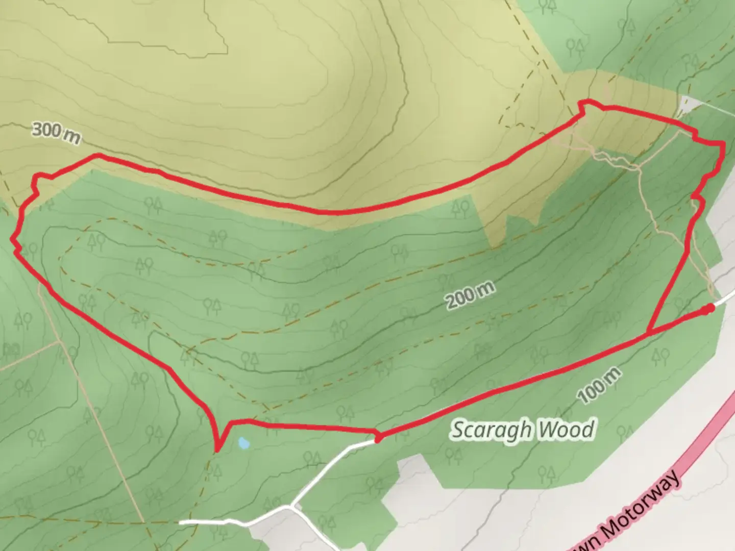
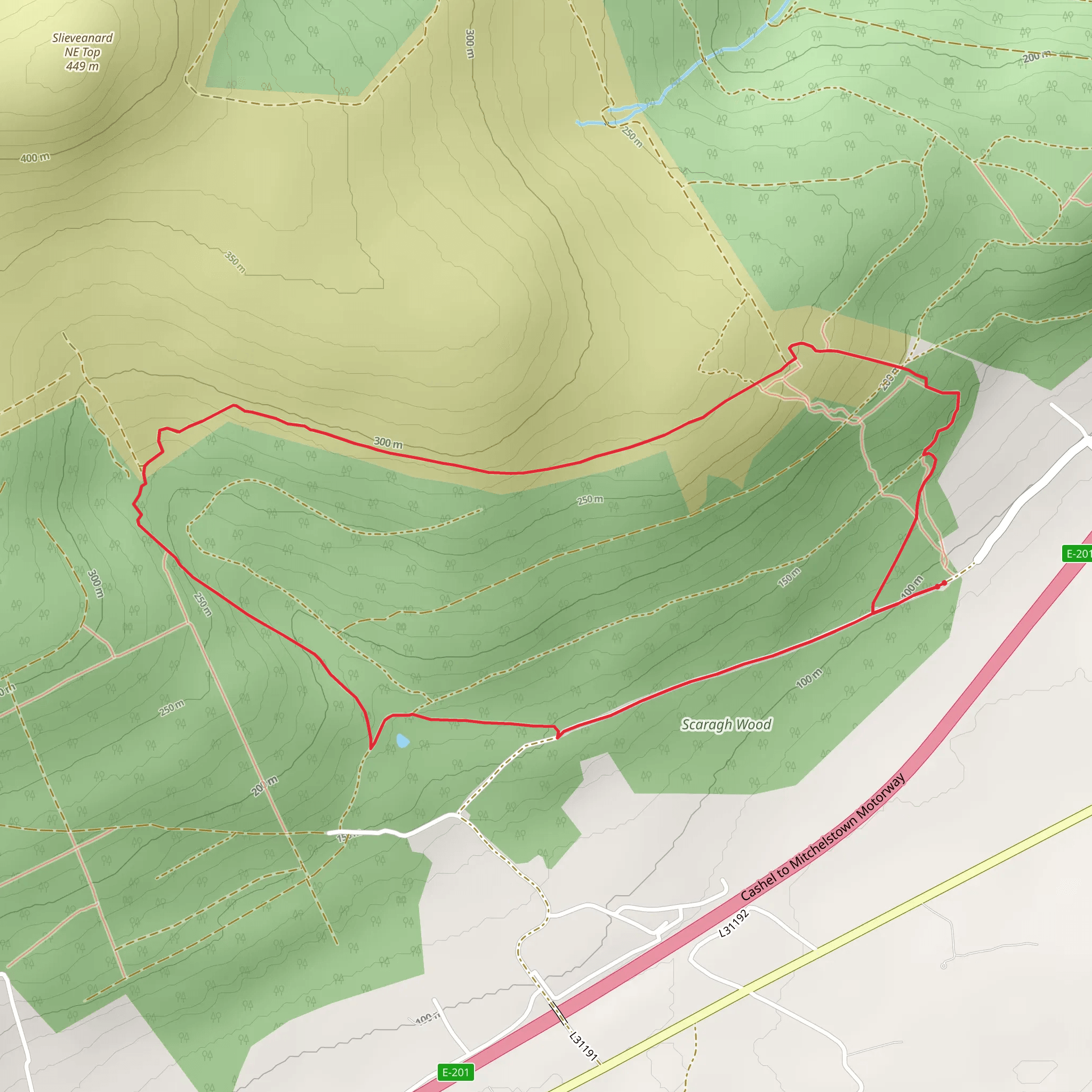
Starting your adventure near County Tipperary, Ireland, the Scaragh Woods Red Trail is a delightful loop trail that spans approximately 6 km (3.7 miles) with an elevation gain of around 100 meters (328 feet). This trail is rated as medium difficulty, making it suitable for moderately experienced hikers.
Getting There To reach the trailhead, you can drive or use public transport. If you're driving, set your GPS to the nearest known address: Scaragh Woods, County Tipperary, Ireland. For those using public transport, the nearest significant landmark is the town of Tipperary. From Tipperary, you can take a local bus or taxi to the trailhead.
Trail Overview The Scaragh Woods Red Trail is a loop, meaning you'll start and finish at the same point. The trailhead is well-marked and easy to find. As you begin, you'll be greeted by a dense canopy of native Irish woodland, providing ample shade and a serene atmosphere.
Key Landmarks and Points of Interest - **0.5 km (0.3 miles):** The first significant landmark is a small, picturesque stream that runs parallel to the trail. This is a great spot for a quick rest and some photos. - **1.5 km (0.9 miles):** You'll come across an ancient stone wall, a remnant of the area's historical past. This wall is believed to date back several centuries and offers a glimpse into the region's rich history. - **3 km (1.9 miles):** At the halfway point, the trail opens up to a clearing with a stunning view of the surrounding countryside. This is an ideal spot for a picnic or a longer rest. - **4.5 km (2.8 miles):** As you continue, you'll pass through a section of the forest known for its diverse wildlife. Keep an eye out for red squirrels, various bird species, and perhaps even a deer or two.
Flora and Fauna The trail is abundant with native Irish flora, including oak, ash, and birch trees. In the spring and summer months, the forest floor is carpeted with wildflowers, adding a splash of color to your hike. The diverse ecosystem supports a variety of wildlife, making it a haven for nature enthusiasts.
Navigation For navigation, it's highly recommended to use the HiiKER app, which provides detailed maps and real-time updates. The trail is well-marked, but having a reliable navigation tool can enhance your hiking experience and ensure you stay on track.
Elevation and Terrain The trail features a gradual elevation gain of around 100 meters (328 feet), making it manageable for most hikers. The terrain is a mix of dirt paths and rocky sections, so sturdy hiking boots are advisable. There are a few steep sections, but they are short and manageable with a moderate level of fitness.
Historical Significance The region around Scaragh Woods is steeped in history. The ancient stone wall you encounter is a testament to the area's long-standing human habitation. Local folklore suggests that these woods were once a meeting place for ancient Celtic tribes, adding a layer of mystique to your hike.
Final Stretch As you near the end of the loop, the trail descends gently back towards the trailhead. The final stretch offers a peaceful walk through more dense woodland, allowing you to soak in the tranquility of the forest before completing your hike.
This trail offers a perfect blend of natural beauty, historical intrigue, and moderate physical challenge, making it a rewarding experience for any hiker.
Comments and Reviews
User comments, reviews and discussions about the Scaragh Woods Red Trail, Ireland.
4.59
average rating out of 5
17 rating(s)
