Download
3D Flyover
Add to list
More
108.8 km
~5 days
2237 m
Multi-Day
“The Avondhu Way: a scenic, medium-difficulty trek revealing Ireland's natural splendor and historical tapestry.”
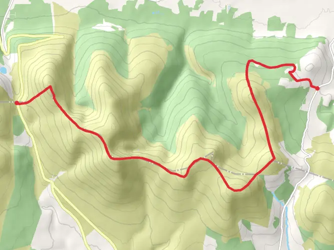
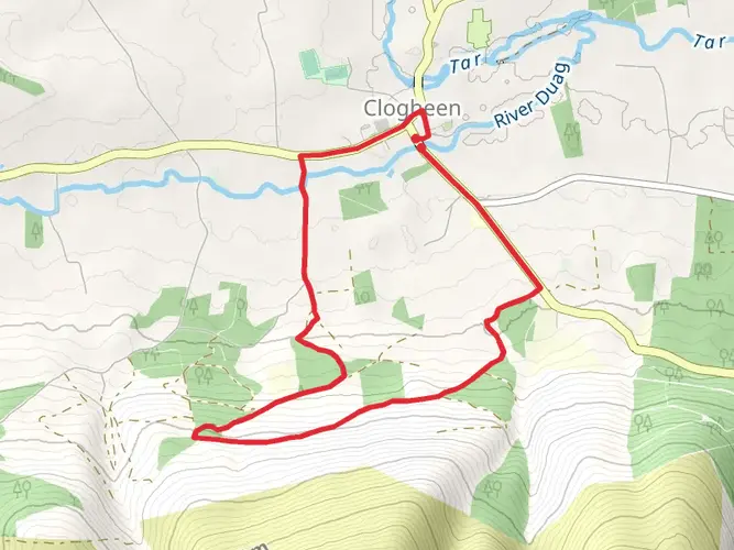
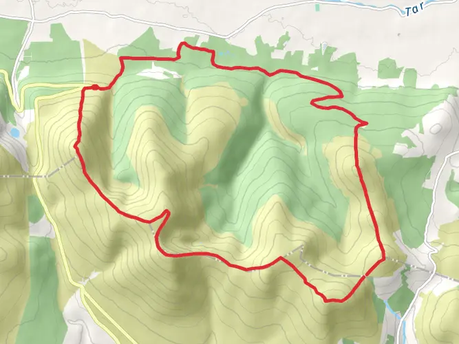
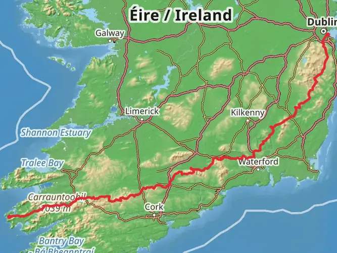
The Avondhu Way is a captivating long-distance trail that stretches approximately 101 kilometers (about 63 miles) with an elevation gain of around 1900 meters (approximately 6234 feet). This point-to-point trail begins near the town of Bweeng, County Cork, and concludes near the town of Clogheen, County Tipperary, Ireland. It is rated as medium difficulty, making it accessible to hikers with a reasonable level of fitness.
Getting to the Trailhead
To reach the starting point of the Avondhu Way, hikers can travel to Bweeng by car or public transport. The nearest significant landmark is the Bweeng Community Centre, from where the trail can be easily accessed. For those relying on public transport, buses serve the nearby towns and villages, but it may require a taxi or a local shuttle to reach the exact starting location.
Navigating the Trail
Hikers can utilize the HiiKER app for detailed maps and navigation assistance throughout the Avondhu Way. The trail is well-marked with the standard yellow walking man symbol, which guides trekkers through a variety of terrains including quiet country roads, forest paths, and open mountainside.
Landmarks and Scenery
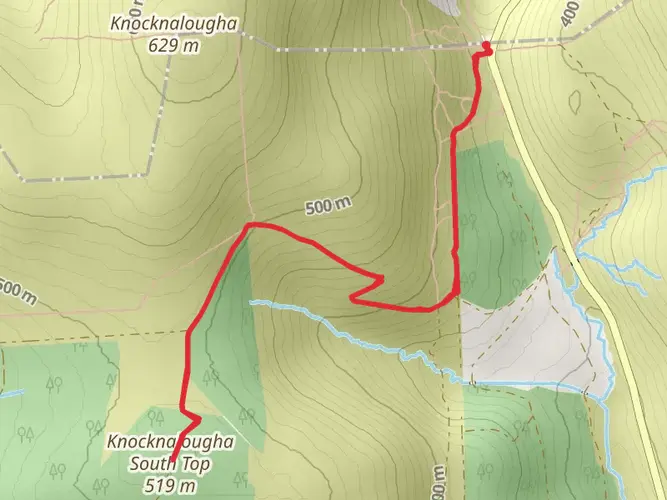
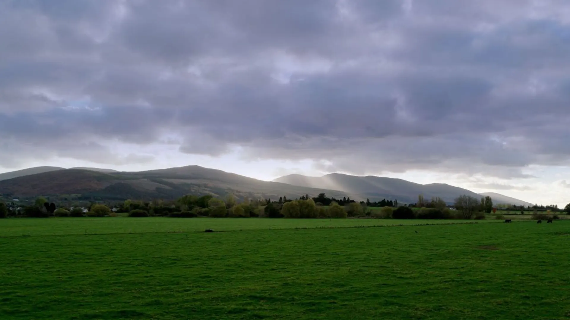
As you embark on the Avondhu Way, you'll traverse through the lush landscapes of the Blackwater Valley, known for its rich agricultural land and scenic river views. The trail offers a mix of natural beauty and historical intrigue, passing through the foothills of the Knockmealdown Mountains, which provide a stunning backdrop for your journey.
One of the significant landmarks along the route is the Corrin Hill, where you'll find a large cross at the summit and a prehistoric cairn. This spot offers panoramic views of the surrounding countryside and is a perfect place for a rest and photo opportunity.
Wildlife and Nature
The Avondhu Way is a haven for nature enthusiasts. The trail meanders through diverse habitats, home to a variety of wildlife. Keep an eye out for Irish hares, red foxes, and a range of bird species, including skylarks and kestrels. The flora along the trail is equally impressive, with wildflowers and native shrubs dotting the landscape, particularly in the spring and summer months.
Historical Significance
The region is steeped in history, with the trail passing near ancient sites such as standing stones, cairns, and ringforts. The Avondhu Way also takes hikers through the historic town of Fermoy, which was a major military post in the past and now offers a glimpse into Ireland's rich cultural heritage.
Preparation and Planning
Hikers should prepare for variable weather conditions, as the Irish climate can be unpredictable. Waterproof gear and layered clothing are essential. It's advisable to carry enough food and water for the journey, although there are opportunities to resupply in the towns and villages along the route.
Accommodation and Services
For those looking to complete the trail over several days, there are various accommodation options available, from B&Bs to self-catering cottages. It's recommended to book in advance, especially during peak hiking seasons.
Conclusion
The Avondhu Way is a journey through the heart of Ireland's natural and historical landscapes. With careful preparation and a spirit of adventure, hikers will find this trail to be a rewarding experience filled with memorable sights and encounters with Ireland's heritage.

What to expect?
Activity types
Surfaces
Unknown
Asphalt
Ground
Gravel
Unpaved
Comments and Reviews
User comments, reviews and discussions about the Avondhu Way, Ireland.
4.71
average rating out of 5
34 rating(s)