Download
Preview
Add to list
More
32.0 km
~2 days
585 m
Multi-Day
“Tochar Phadraig, an ancient, history-steeped pilgrimage through Ireland's diverse landscapes to the sacred Croagh Patrick.”
Tochar Phadraig, an ancient pilgrimage route, stretches approximately 32 kilometers (about 20 miles) with an elevation gain of around 500 meters (approximately 1640 feet). This point-to-point trail, rooted in rich history, begins near the town of Ballintubber in County Mayo, Ireland, and concludes at the sacred site of Croagh Patrick.
Getting to the Trailhead
The trailhead is accessible from Ballintubber Abbey, which is well-signposted and can be reached by car. For those relying on public transport, buses serve the nearby towns of Castlebar and Westport, from which you can take a taxi to Ballintubber Abbey, the starting point of Tochar Phadraig.
Historical Significance
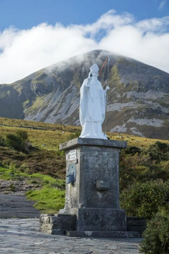
Tochar Phadraig follows a path that has been trodden by pilgrims for centuries, leading to the holy mountain of Croagh Patrick, a site of immense religious importance and a place of pilgrimage since the time of St. Patrick. The trail itself is believed to be part of a network of paths that date back to pre-Christian times.
Navigating the Trail
Hikers can utilize the HiiKER app for detailed maps and navigation assistance throughout their journey. The trail is marked, but it's always wise to have a digital tool like HiiKER to ensure you stay on the correct path.
Landmarks and Terrain
The trail offers a variety of landscapes, starting with the serene grounds of Ballintubber Abbey, an active monastery founded in 1216. As you move away from the abbey, the trail takes you through rolling fields, quiet country roads, and boggy, heather-clad moorland. The terrain is a mix of flat and gently undulating ground, with some steeper sections as you approach Croagh Patrick.
Nature and Wildlife
The rural setting of Tochar Phadraig allows for encounters with local wildlife, including a variety of bird species, and offers views of the surrounding countryside dotted with sheep and cattle. The trail also passes through areas of natural beauty, including woodlands and streams, where the tranquility of nature is palpable.
Preparation and Planning
Given the trail's medium difficulty rating, it's suitable for hikers with a reasonable level of fitness. The Irish weather can be unpredictable, so waterproof gear and layered clothing are essential. Sturdy hiking boots are recommended, as some sections can be wet and muddy. It's also advisable to carry enough water and snacks for the journey, as there are limited facilities along the route.
Conclusion
Tochar Phadraig is not just a hike; it's a journey through history and spirituality, offering a unique blend of natural beauty and cultural heritage. Whether you're walking for leisure or on a pilgrimage, this trail provides a memorable experience in the heart of County Mayo.

What to expect?
Activity types
Comments and Reviews
User comments, reviews and discussions about the Tochar Phadraig, Ireland.
4.37
average rating out of 5
35 rating(s)