Download
Preview
Add to list
More
7.6 km
~1 hrs 47 min
159 m
Loop
“Explore lush landscapes, historical ruins, and diverse wildlife on County Limerick’s scenic Mullaghareirk - Reanahown Loop.”
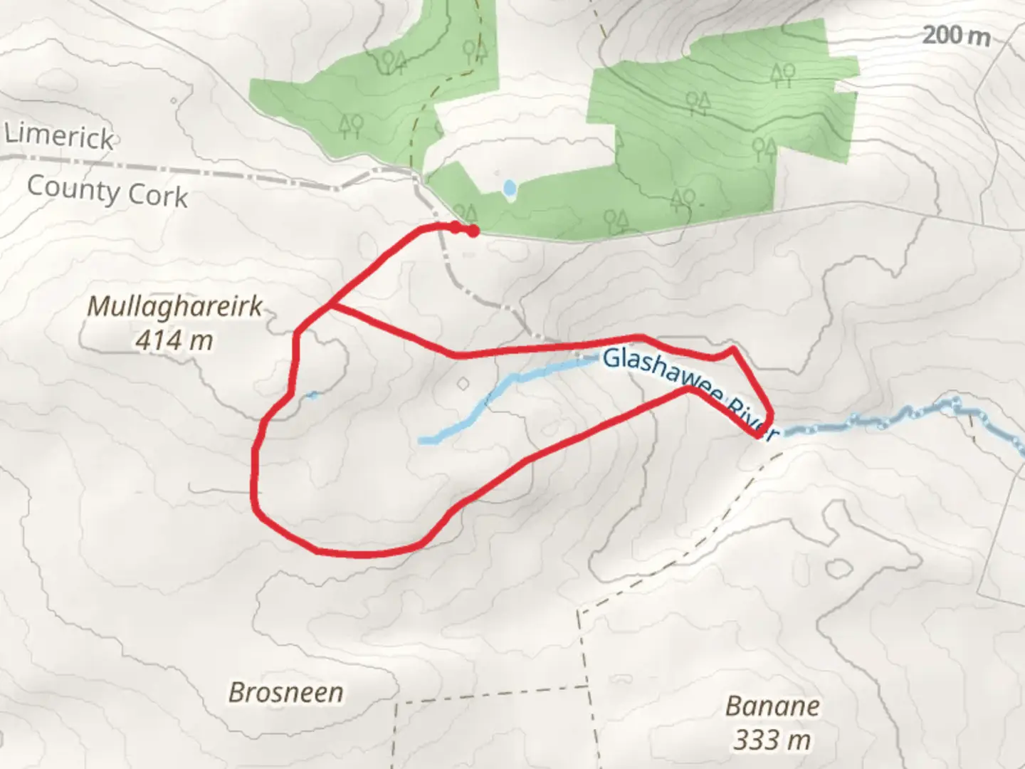
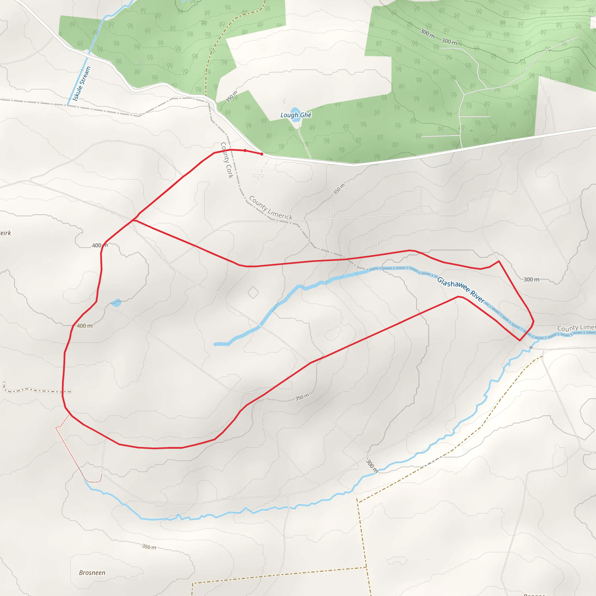
Starting near County Limerick, Ireland, the Mullaghareirk - Reanahown Loop is an 8 km (approximately 5 miles) loop trail with an elevation gain of around 100 meters (328 feet). This medium-difficulty trail offers a blend of natural beauty, historical significance, and a moderate challenge suitable for most hikers.
Getting There To reach the trailhead, you can drive or use public transport. If driving, head towards the village of Broadford in County Limerick. The nearest significant landmark is the Broadford Community Centre, which provides ample parking. For those using public transport, buses from Limerick City to Broadford are available, and the trailhead is a short walk from the bus stop.
Trail Overview The trail begins near the Broadford Community Centre and quickly immerses you in the lush, rolling hills of the Mullaghareirk Mountains. The initial section is relatively flat, making it a good warm-up before you start gaining elevation.
Key Landmarks and Points of Interest - **Broadford Ashford Walking Trails**: Early in the hike, you will pass through sections of the Broadford Ashford Walking Trails, a network of paths that offer additional routes for exploration. - **Reanahown Woodlands**: Around the 2 km (1.2 miles) mark, you will enter the Reanahown Woodlands. This area is rich in biodiversity, featuring native Irish flora such as oak, ash, and hazel trees. Keep an eye out for local wildlife, including red squirrels and various bird species. - **Historical Sites**: As you continue, you will come across remnants of ancient stone walls and old farmsteads, offering a glimpse into the region's agricultural past. These structures date back several centuries and are a testament to the area's long history of human settlement.
Elevation and Terrain The trail's elevation gain is gradual, with the most significant climb occurring between the 3 km (1.9 miles) and 5 km (3.1 miles) marks. The highest point of the trail offers panoramic views of the surrounding countryside, including the distant Galtee Mountains on a clear day. The terrain varies from well-trodden paths to more rugged sections, so sturdy hiking boots are recommended.
Navigation Given the loop nature of the trail, navigation is straightforward, but it's always wise to have a reliable map or GPS device. The HiiKER app is an excellent tool for this purpose, providing detailed maps and real-time location tracking to ensure you stay on course.
Flora and Fauna The Mullaghareirk - Reanahown Loop is a haven for nature enthusiasts. In spring and summer, the trail is adorned with wildflowers such as bluebells and primroses. The diverse habitats support a range of wildlife, from deer to foxes, and birdwatchers will appreciate the variety of species, including kestrels and woodpeckers.
Practical Tips - **Weather**: The weather in this region can be unpredictable, so pack layers and waterproof gear. - **Supplies**: There are no facilities along the trail, so bring sufficient water and snacks. - **Leave No Trace**: As always, follow Leave No Trace principles to keep the trail pristine for future hikers.
This trail offers a rewarding experience for those looking to explore the natural and historical richness of County Limerick.
Comments and Reviews
User comments, reviews and discussions about the Mullaghareirk - Reanahown Loop, Ireland.
4.47
average rating out of 5
15 rating(s)
