Download
Preview
Add to list
More
47.7 km
~2 days
519 m
Multi-Day
“Embark on the North Kerry Way, a captivating 48-kilometer Irish coastal and countryside odyssey steeped in history.”
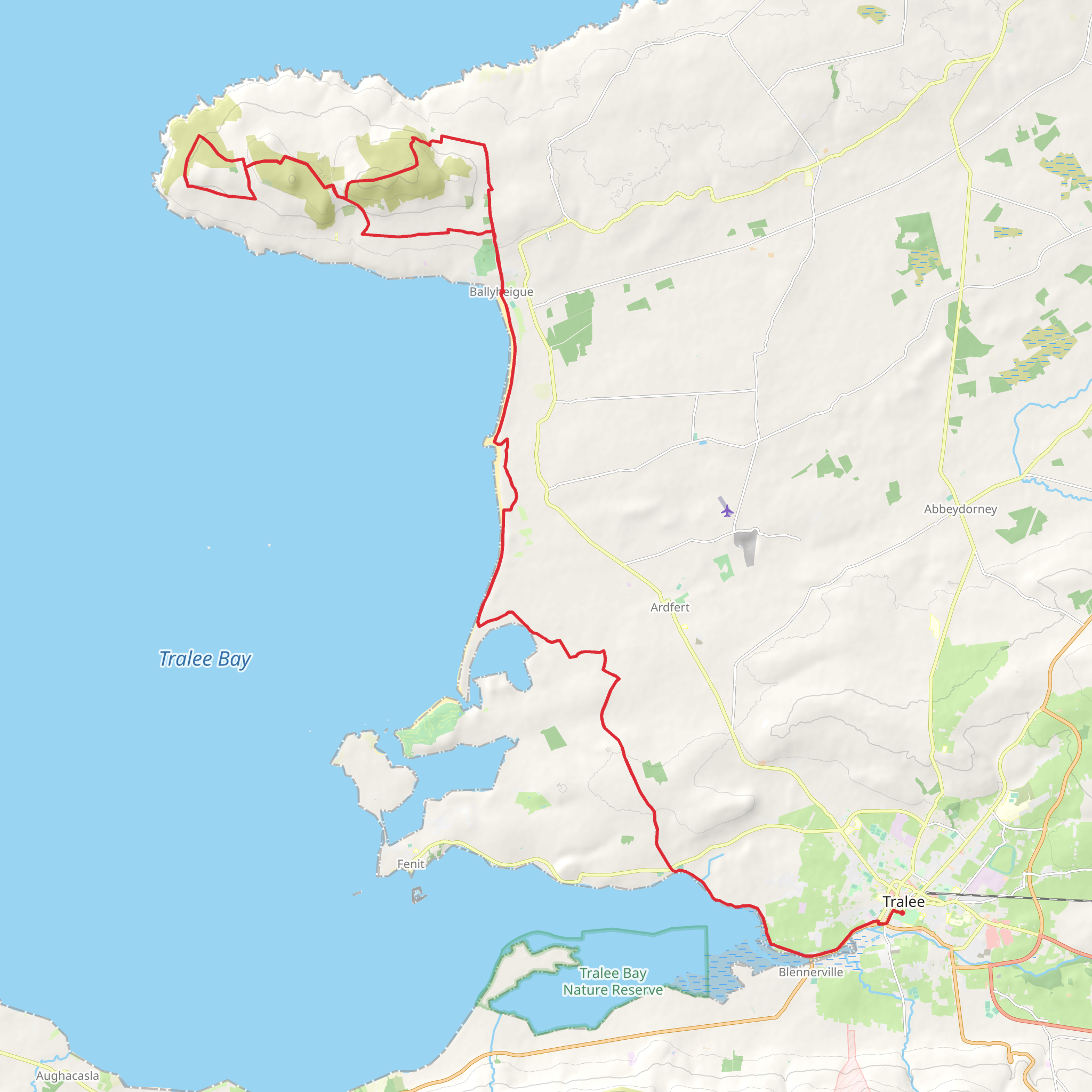
The North Kerry Way is a scenic coastal trail that unfolds across approximately 48 kilometers (about 30 miles) with an elevation gain of around 500 meters (approximately 1640 feet), offering hikers a relatively easy trek through the diverse landscapes of County Kerry, Ireland. This point-to-point trail begins near the town of Tralee, a bustling hub that is easily accessible by public transport or car. For those arriving by car, parking is available at the start of the trail. Public transport users can take advantage of the local bus services that connect to Tralee from various parts of the country.
Starting the Journey: Tralee to Camp The trailhead is located just outside Tralee, where the adventure begins with a gentle walk through the rural countryside, dotted with historical ruins and old churches that whisper tales of Ireland's rich past. The path meanders through farmlands and quiet country lanes, leading to the first significant elevation gain as you approach the Slieve Mish Mountains. The ascent is gradual, making it manageable for hikers of all levels.
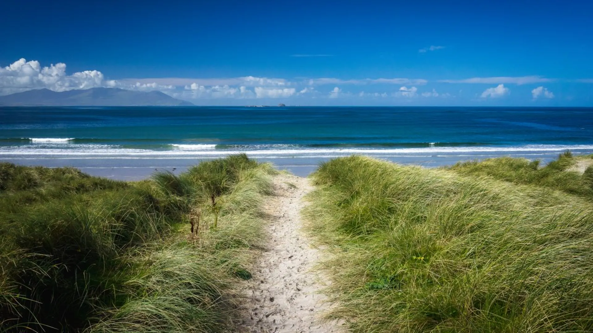
Coastal Vistas and Historical Landmarks As you crest the mountains, you'll be rewarded with stunning views of the Atlantic Ocean and the Dingle Peninsula. Descending towards the coast, the trail takes you through the village of Camp, an ideal spot to rest and refuel. From Camp, the North Kerry Way hugs the coastline, offering breathtaking sea views and the chance to spot local wildlife, such as seabirds and, if you're lucky, dolphins playing in the surf.
The trail continues along the coast, passing through Blennerville, which is home to the Blennerville Windmill, the largest working windmill in Ireland and a significant historical landmark. This area is rich in history, with remnants of the past, including ancient ring forts and standing stones, scattered along the route.
Inland Beauty and Fenit Leaving the coast behind, the trail turns inland again, guiding hikers through peaceful boglands and green pastures. This section is a haven for birdwatchers, with the wetlands providing a habitat for a variety of bird species. The path eventually leads to the village of Fenit, known for its marina and the statue of St. Brendan the Navigator, honoring the local patron saint who is said to have discovered America before Columbus.
Final Stretch: Fenit to the End The final leg of the North Kerry Way takes you back towards the coastline, where the trail concludes. This last section is relatively flat and easy, allowing for a leisurely pace as you soak in the last of the coastal scenery before reaching the end of the trail.
Throughout the hike, it's essential to be prepared for the unpredictable Irish weather, so waterproof gear and layered clothing are recommended. Also, be sure to carry enough water and snacks, as there are stretches of the trail with limited facilities. For navigation, the HiiKER app is a valuable tool to have on hand, providing detailed maps and trail information to ensure you stay on the right path.
The North Kerry Way is not just a hike; it's an immersive experience into the natural beauty and historical depth of Ireland. Whether you're a seasoned hiker or a casual walker, this trail promises a memorable journey through the heart of Kerry's countryside and coastal landscapes.
What to expect?
Activity types
Comments and Reviews
User comments, reviews and discussions about the North Kerry Way, Ireland.
4.61
average rating out of 5
28 rating(s)

