Download
Preview
Add to list
More
10.9 km
~3 hrs 27 min
764 m
Out and Back
“Breathtaking Connemara vistas, shifting light, and ancient legends await on this wild, windswept mountain trail.”
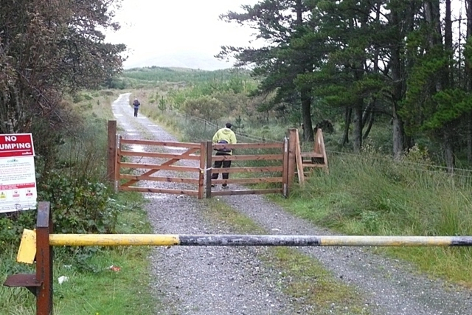
Starting from a small roadside layby near Maam Cross, County Galway, the An Bhinn Bhán trail immediately immerses you in the wild heart of Connemara. The trailhead is accessible by car via the N59, with limited parking available at the layby just west of Maam Cross. For those using public transport, Bus Éireann services from Galway City stop at Maam Cross, from where it’s a short walk to the trailhead.
Initial Ascent and Landscape
The route begins with a gentle walk through boggy grassland, quickly giving way to steeper, rockier terrain as you approach the lower slopes of Binn Bhán. The first 2 km (1.2 miles) are relatively straightforward, but the ground can be waterlogged, especially after rain, so waterproof boots are essential. The landscape is classic Connemara: open moorland dotted with heather, bog cotton, and the occasional grazing sheep. Early on, you’ll catch glimpses of Lough Corrib to the east and the Maumturk Mountains rising to the north.
Climbing the Ridge
After about 3 km (1.9 miles), the trail steepens significantly, and you’ll begin the main ascent, gaining most of the 800 metres (2,625 feet) of elevation over the next 2.5 km (1.5 miles). The path is not always well-defined, so navigation skills are crucial—HiiKER is highly recommended for accurate route-finding. As you climb, the views expand dramatically, with the Twelve Bens to the west and the Atlantic coastline visible on clear days. The ridge is exposed, with sheer drops in places, so caution is needed, especially in windy or wet conditions.
Summit and Surroundings
Reaching the summit of Binn Bhán at around 5.5 km (3.4 miles), you’ll stand at one of the highest points in the Maumturks, with panoramic views over Connemara’s patchwork of lakes, mountains, and bogs. The summit cairn is a notable landmark, and on a clear day, you can see as far as the Aran Islands. The area is rich in wildlife—look out for peregrine falcons, ravens, and mountain hares. The flora is equally striking, with alpine plants clinging to the rocky outcrops.
Descent and Return
The return follows the same route, requiring careful footing on the steep, often slippery slopes. The descent offers a different perspective on the landscape, with the shifting light revealing new details in the valleys below. Allow plenty of time for the return journey, as the rough terrain can be slow-going.
Historical and Cultural Context
The Maumturk Mountains are steeped in history and folklore. The region was once a stronghold of the O’Flaherty clan, and the surrounding valleys are dotted with ancient stone walls and abandoned cottages, remnants of a time when the land supported a larger population. The Irish name “An Bhinn Bhán” translates to “the white peak,” a reference to the pale quartzite rock that forms the summit. Local legends speak of ancient gatherings and battles in these hills, adding a sense of mystery to the landscape.
Preparation and Safety
Given the challenging terrain and rapidly changing weather, hikers should be well-prepared with waterproof clothing, sturdy boots, and sufficient food and water. Mobile phone coverage is patchy, so a physical map and compass are advisable in addition to HiiKER. The trail is best tackled by experienced hikers comfortable with navigation and mountain conditions.

Comments and Reviews
User comments, reviews and discussions about the An Bhinn Bhán, Ireland.
4.62
average rating out of 5
29 rating(s)