Download
3D Flyover
Add to list
More
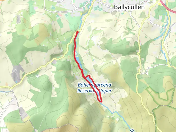
116.4 km
~4 days
95 m
Multi-Day
“Traverse Ireland's heritage and nature on the flat, historical Grand Canal Way.”
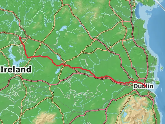
The Grand Canal Way stretches approximately 116 kilometers (around 72 miles) across the Irish landscape, offering a unique journey from the bustling outskirts of County Dublin to the Shannon Harbour on the River Shannon. With virtually no elevation gain, this flat trail is accessible to many, though the distance categorizes it as a medium difficulty hike due to its length.
Getting to the Trailhead
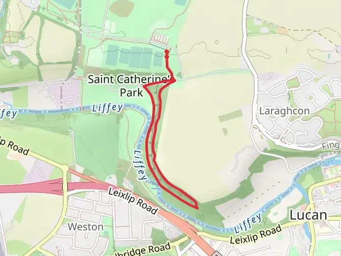
The starting point of the Grand Canal Way is conveniently located near County Dublin, where public transport is readily available. Hikers can catch a bus or train from Dublin city center to the suburb of Lucan, which is close to the trailhead. For those driving, parking can be found in the vicinity of Adamstown, Lucan, where the trail begins.
Navigating the Trail
As you embark on the Grand Canal Way, you'll find the path well-marked, with clear signage guiding you along the towpath. The route is linear, making navigation straightforward. For additional guidance, hikers can use the HiiKER app to track their progress and ensure they remain on the correct path.
Historical Significance and Landmarks
The Grand Canal itself is a remarkable feat of 18th-century engineering, once serving as a vital commercial and transportation link. As you traverse the trail, you'll encounter numerous historical landmarks, including restored lock-keeper's cottages and old bridges that hark back to a bygone era.
One of the significant landmarks is the 13th lock, located roughly 12 kilometers (about 7.5 miles) from the start. This area is known for the Ryewater Aqueduct, a fine example of Georgian engineering that carries the canal over the River Rye.
Further along, at approximately 45 kilometers (28 miles), you'll reach the bustling town of Tullamore, famous for its whiskey heritage. The Tullamore D.E.W. Visitor Centre is a popular stop for those interested in the history of Irish whiskey.
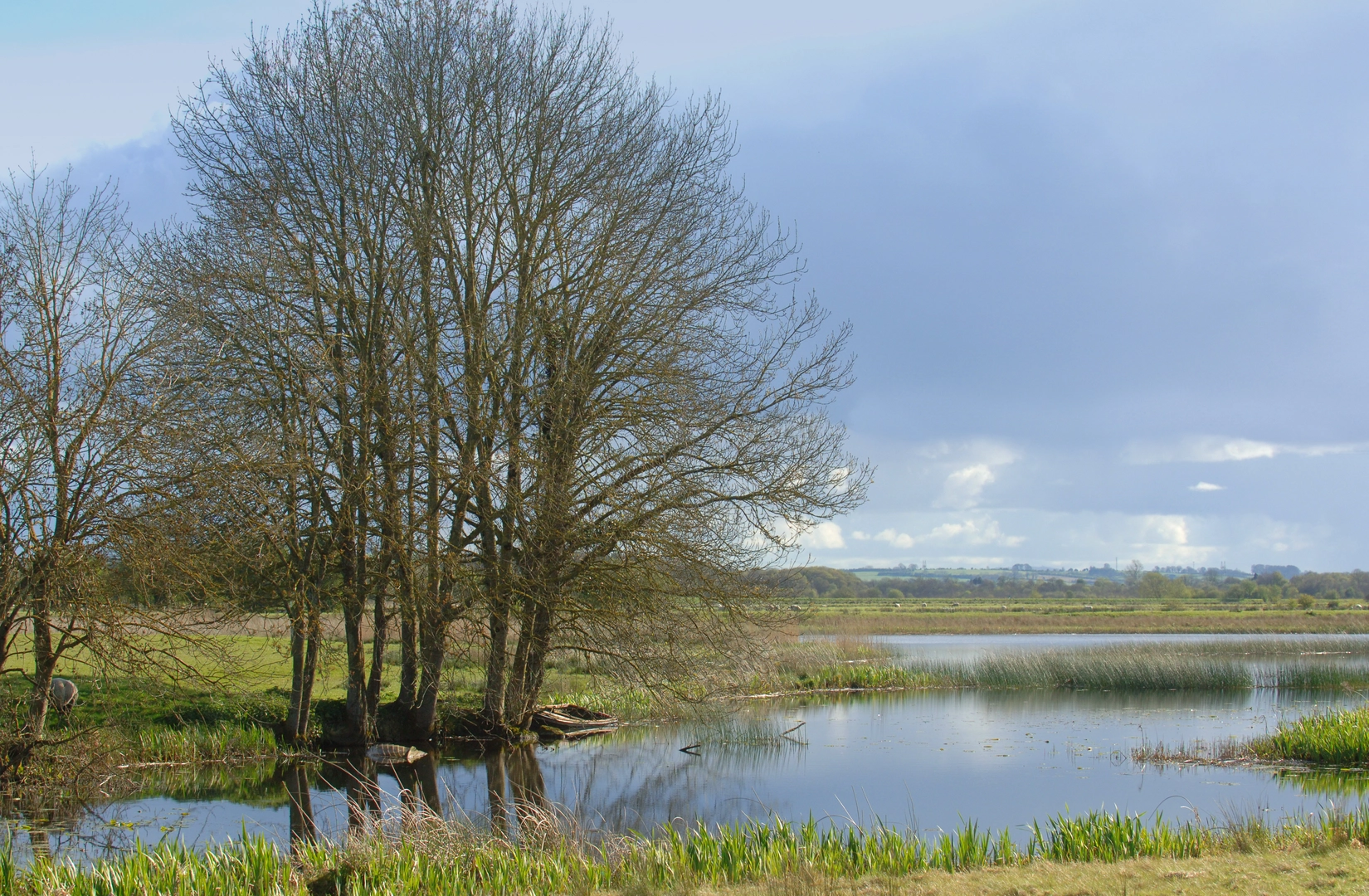
Nature and Wildlife
The canal towpath is lined with a variety of flora and fauna. Expect to see a range of birdlife, including swans, herons, and kingfishers, as well as the occasional otter. The trail is also adorned with a mix of native trees and wildflowers, particularly vibrant in the spring and summer months.
Preparation and Planning
Given the length of the Grand Canal Way, hikers should plan for multiple days of walking, with accommodations available in the towns along the route. It's advisable to carry a daypack with essentials such as water, snacks, a first-aid kit, and weather-appropriate clothing. While the trail is flat, good walking shoes are recommended for comfort over the long distances.
Access and Amenities
The trail passes through several towns, providing ample opportunities to restock supplies, find lodging, and enjoy local cuisine. Public restrooms and other amenities are available at various points along the route.
Conclusion
The Grand Canal Way offers a unique blend of natural beauty, wildlife, and historical intrigue. Whether you're a history buff, a nature lover, or simply seeking a long-distance walking challenge, this trail provides a memorable experience through the heart of Ireland's scenic countryside and its rich cultural past.

What to expect?
Activity types
Comments and Reviews
User comments, reviews and discussions about the Grand Canal Way, Ireland.
4.71
average rating out of 5
17 rating(s)