Download
Preview
Add to list
More
12.8 km
~3 hrs 20 min
470 m
Loop
“Embark on the Glencolmcille Drum Circular Route, a scenic, historic hike through Ireland's rugged Donegal splendor.”
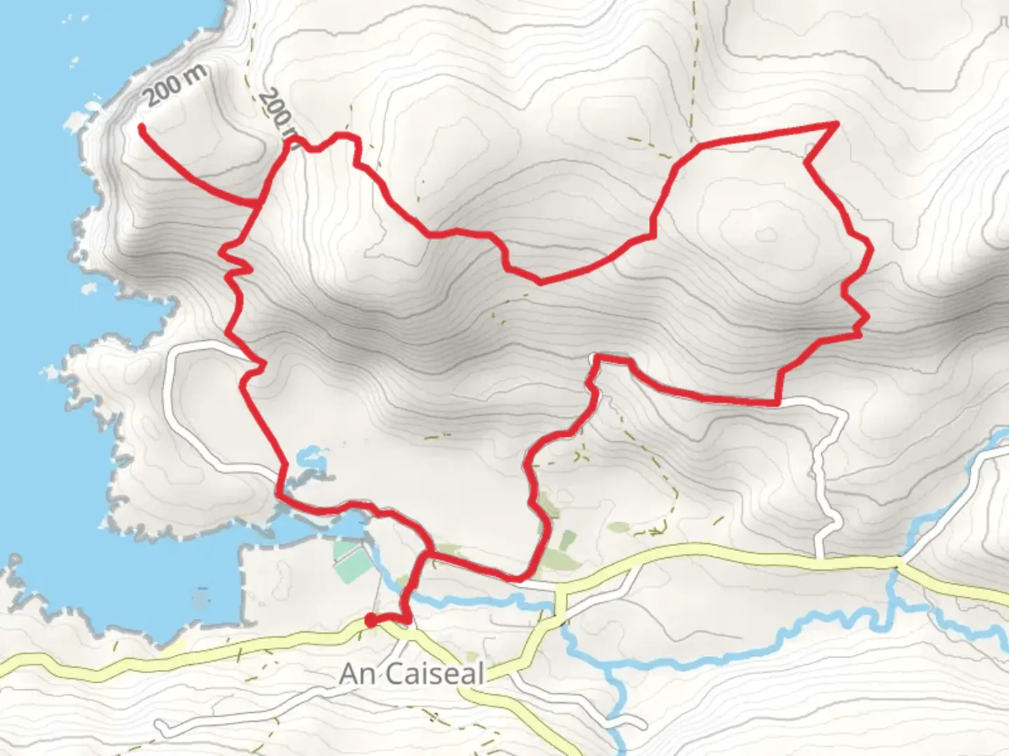
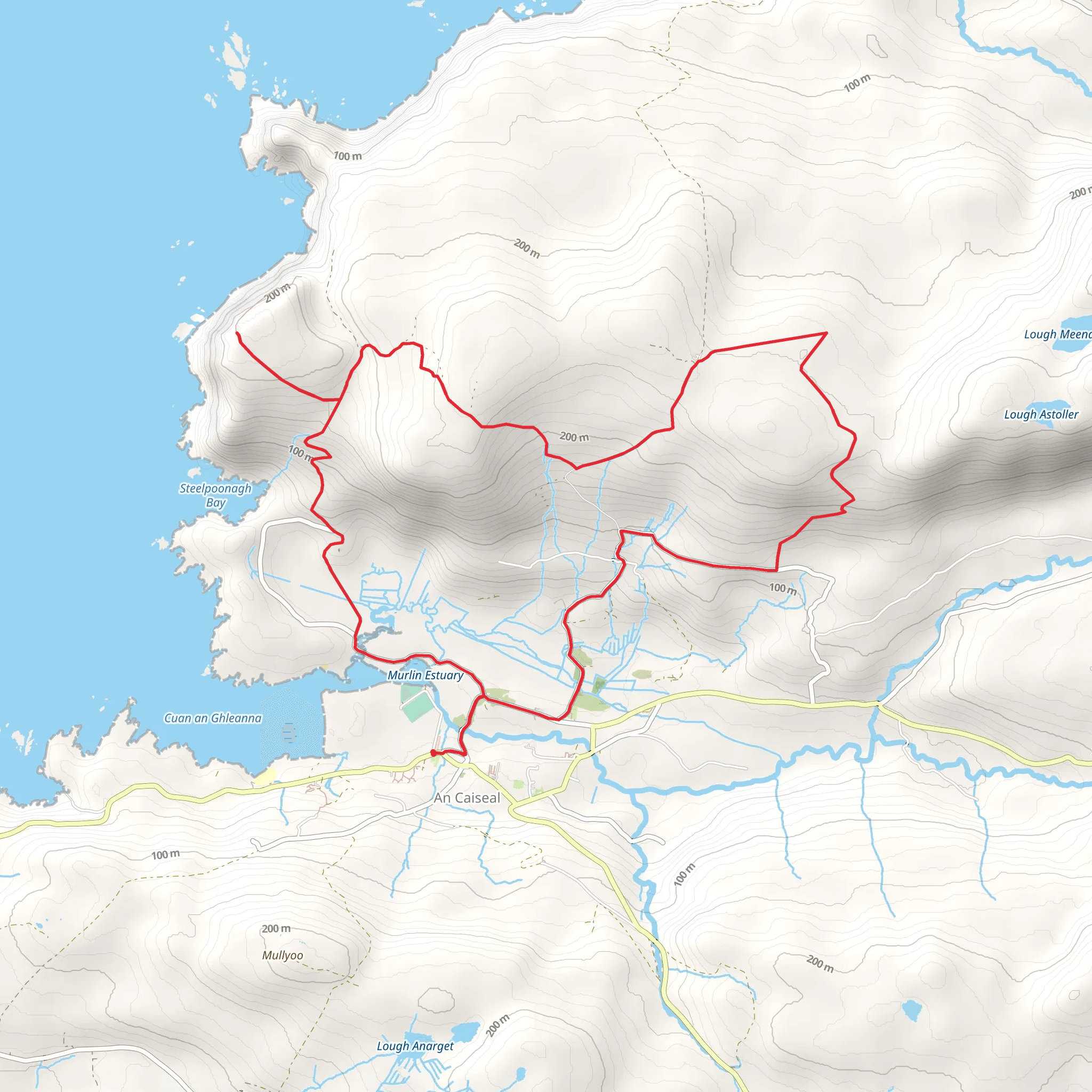
The Glencolmcille Drum Circular Route, nestled in the picturesque region of County Donegal, Ireland, offers hikers a unique blend of cultural history and natural beauty. Spanning approximately 13 kilometers (about 8 miles) with an elevation gain of roughly 400 meters (around 1,300 feet), this loop trail is considered to have a medium difficulty rating, making it accessible to hikers with a reasonable level of fitness.
Getting to the Trailhead
To reach the starting point of the Glencolmcille Drum Circular Route, visitors can drive to the village of Glencolmcille, which is well-signposted and accessible via the R263 regional road. Parking is available near the trailhead, which is conveniently located close to the village. For those relying on public transport, local bus services operate to Glencolmcille from larger towns and cities, though it's important to check the latest schedules as services may be infrequent.
Navigating the Trail
The trail begins near the Glencolmcille Folk Village, a living-history museum that showcases traditional Irish village life. Hikers can use the HiiKER app to navigate the route, ensuring they stay on the correct path throughout their journey. The app provides detailed maps and trail information, which is particularly useful in areas where signage may be limited.
Historical Significance and Landmarks
As hikers embark on the trail, they will be walking through an area steeped in history. Glencolmcille has been an important site of pilgrimage for centuries, and the landscape is dotted with ancient standing stones, early Christian crosses, and remnants of megalithic tombs. One of the key historical landmarks along the route is the Glencolmcille Turas, a series of 15 stations associated with Saint Columba, one of Ireland's three patron saints.
Natural Beauty and Wildlife
The trail offers stunning views of the surrounding countryside, with rolling hills, rugged cliffs, and pristine beaches. The Atlantic Ocean provides a dramatic backdrop to the west, while to the east, the Slieve League Mountains rise majestically. The area is rich in biodiversity, and hikers may spot a variety of birds, including seabirds and birds of prey, as well as other wildlife like foxes and Irish hares.
Terrain and Conditions
The terrain on the Glencolmcille Drum Circular Route varies, with sections of the trail traversing boggy moorland, grassy tracks, and rocky outcrops. Proper hiking boots are recommended to navigate the uneven ground and to provide ankle support. The weather in County Donegal can be unpredictable, so hikers should come prepared with waterproof clothing and layers to adjust to changing conditions.
Safety and Preparation
While the trail is not overly challenging, it is important for hikers to be prepared with adequate water, snacks, and a first-aid kit. Mobile phone coverage can be patchy in rural areas, so it's advisable to inform someone of your hiking plans and expected return time. Checking the weather forecast before setting out is also crucial, as conditions can change rapidly.
By taking the necessary precautions and utilizing tools like the HiiKER app for navigation, hikers can fully enjoy the Glencolmcille Drum Circular Route and the rich tapestry of natural and historical wonders it has to offer.
Comments and Reviews
User comments, reviews and discussions about the Glencolmcille Drum Circular Route, Ireland.
4.58
average rating out of 5
26 rating(s)
