Download
Preview
Add to list
More
10.8 km
~2 hrs 52 min
430 m
Loop
“Explore the enchanting Claragh Loop, where stunning landscapes meet rich history in County Cork's serene beauty.”
Nestled in the picturesque landscapes of County Cork, Ireland, the Claragh Loop - Millstreet offers a delightful hiking experience that spans approximately 11 kilometers (about 6.8 miles) with an elevation gain of around 400 meters (approximately 1,312 feet). This loop trail is classified as medium difficulty, making it suitable for hikers with a moderate level of fitness and some hiking experience.
Getting There
To reach the trailhead, which is conveniently located near Millstreet in County Cork, you have a couple of options. If you're traveling by car, you can drive to Millstreet, where parking is available near the start of the trail. For those relying on public transport, Millstreet is accessible via train from major cities like Cork and Dublin. Once in Millstreet, a short taxi ride or a local bus can take you to the trailhead.
Trail Highlights
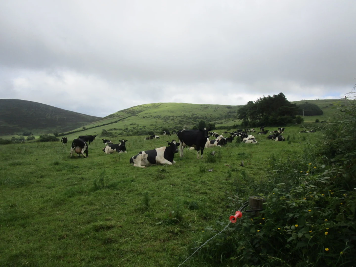
As you embark on the Claragh Loop, you'll be greeted by the serene beauty of the Irish countryside. The trail meanders through lush green fields, dense woodlands, and open moorlands, offering a diverse range of landscapes to explore. Keep an eye out for the vibrant flora that changes with the seasons, from blooming wildflowers in spring to the rich hues of autumn leaves.
#### Significant Landmarks
One of the key highlights of this trail is the ascent to Claragh Mountain. As you climb, you'll be rewarded with panoramic views of the surrounding countryside, including the majestic peaks of the Derrynasaggart Mountains. The summit of Claragh Mountain, standing at approximately 452 meters (1,483 feet), provides a perfect spot for a well-deserved break and some breathtaking photo opportunities.
Nature and Wildlife
The Claragh Loop is home to a variety of wildlife, so keep your eyes peeled for sightings of native birds and small mammals. The woodlands are particularly rich in birdlife, with species such as the chaffinch, robin, and blackbird commonly seen. The open moorlands may also offer glimpses of hares and foxes.
Historical Significance
The region around Millstreet is steeped in history, with evidence of ancient settlements and historical landmarks scattered throughout the area. As you hike, you may come across remnants of old stone walls and farmsteads, offering a glimpse into the lives of those who once inhabited this land. The town of Millstreet itself has a rich cultural heritage, with its origins dating back to the early medieval period.
Navigation and Safety
For navigation, it's recommended to use the HiiKER app, which provides detailed maps and real-time tracking to ensure you stay on the right path. The trail is well-marked, but weather conditions can change rapidly, so be prepared with appropriate clothing and gear. Always check the weather forecast before setting out and let someone know your plans.
The Claragh Loop - Millstreet is a rewarding hike that combines natural beauty, historical intrigue, and a touch of adventure. Whether you're a local or a visitor, this trail offers a memorable journey through one of Ireland's most enchanting regions.

What to expect?
Activity types
Comments and Reviews
User comments, reviews and discussions about the Claragh Loop - Millstreet, Ireland.
4.62
average rating out of 5
26 rating(s)