Download
3D Flyover
Add to list
More
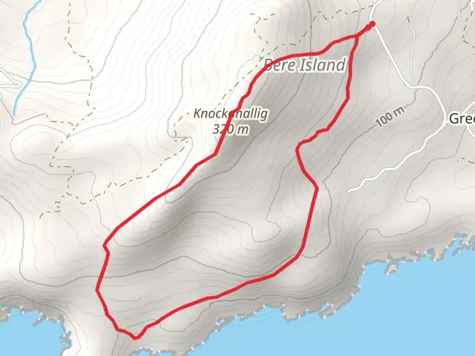
3.9 km
~1 hrs
136 m
Loop
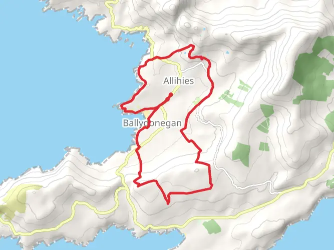
“The Bullig Bay Loop offers 4 km of scenic views, historical ruins, and moderate woodland hiking in County Cork.”
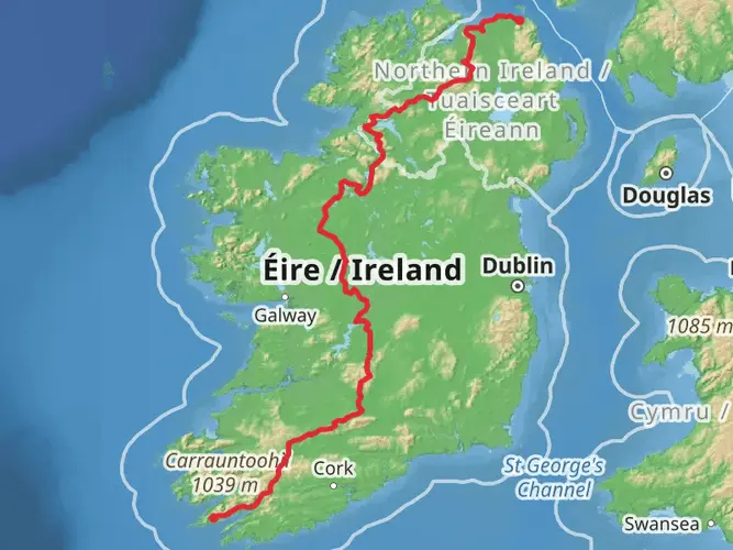
Starting near County Cork, Ireland, the Bullig Bay Loop is a picturesque 4 km (2.5 miles) trail with an elevation gain of approximately 100 meters (328 feet). This loop trail is rated as medium difficulty, making it suitable for hikers with some experience.
Getting There
To reach the trailhead, you can drive or use public transport. If driving, head towards the town of Glengarriff, which is the nearest significant landmark. From Glengarriff, follow the signs towards Bullig Bay. There is a small parking area near the trailhead. For those using public transport, buses from Cork City to Glengarriff are available, and from there, a short taxi ride will get you to the trailhead.
Trail Overview
The Bullig Bay Loop offers a mix of coastal and woodland scenery. Starting from the trailhead, the path initially takes you through a dense forest area, where you can expect to see a variety of native Irish flora, including oak, ash, and holly trees. Keep an eye out for local wildlife such as red squirrels and various bird species.
Coastal Views and Landmarks
After approximately 1 km (0.6 miles), the trail opens up to stunning coastal views of Bullig Bay. This section is relatively flat and offers a great opportunity to take in the panoramic views of the Atlantic Ocean. On clear days, you can see as far as the Beara Peninsula. The coastal path is dotted with wildflowers, especially in the spring and summer months.
Historical Significance
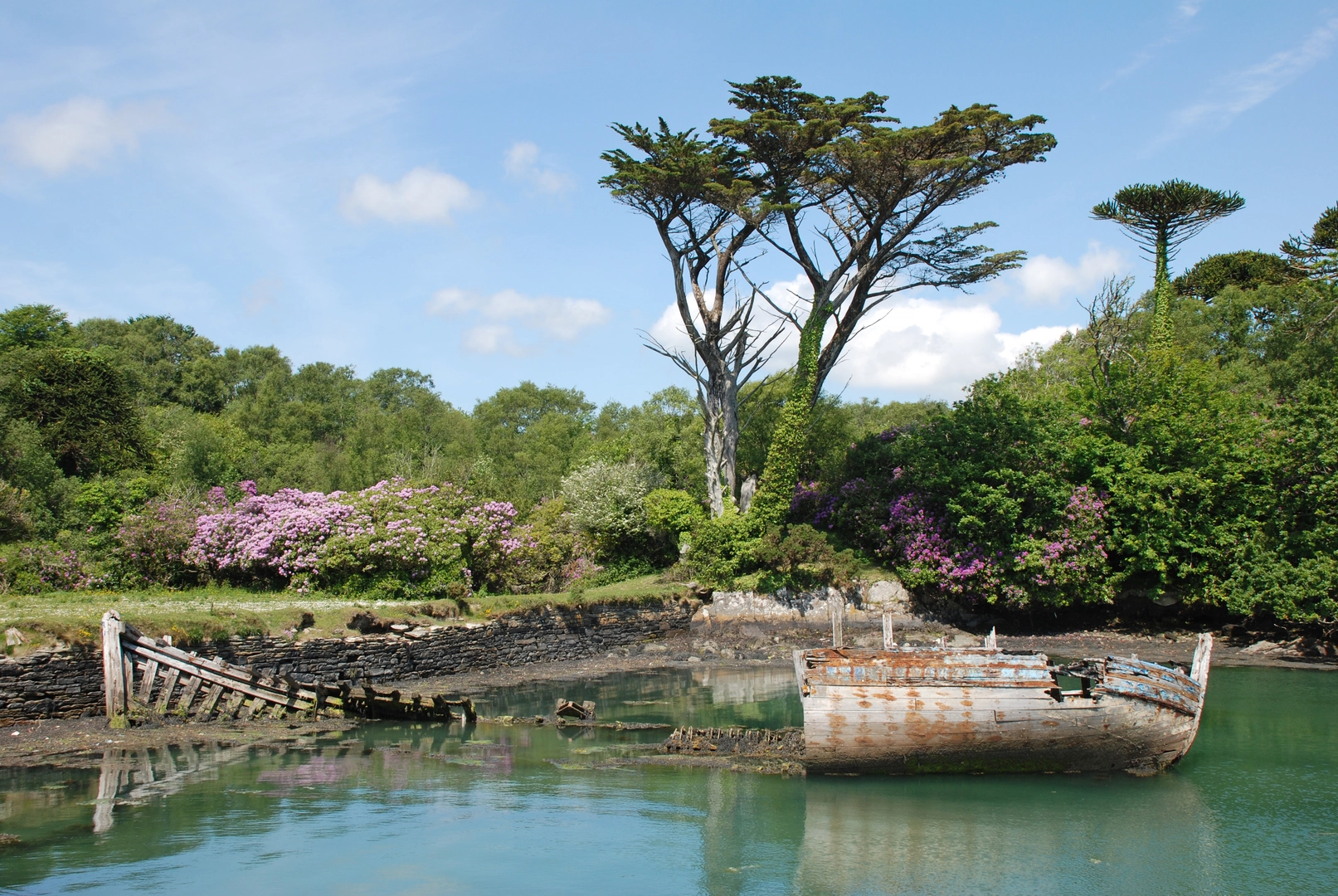
Around the 2 km (1.2 miles) mark, you'll come across the ruins of an old stone cottage. This area has historical significance as it was once part of a small fishing community. The ruins serve as a reminder of the region's rich maritime history. Take a moment to explore the site and imagine what life might have been like for the fishermen and their families who once lived here.
Elevation Gain and Woodland Return
As you continue, the trail begins to ascend gradually, gaining about 100 meters (328 feet) in elevation. This section can be a bit challenging, especially after rain, as the path can become muddy and slippery. Good hiking boots are recommended. The ascent takes you back into the woodland, where the canopy provides a cool, shaded environment.
Navigation and Safety
The trail is well-marked, but it's always a good idea to have a reliable navigation tool. HiiKER is an excellent app for this purpose, offering detailed maps and real-time tracking to ensure you stay on course.
Final Stretch
The last 1 km (0.6 miles) of the loop descends gently back towards the trailhead. This section is relatively easy and offers a peaceful walk through the forest, with the sound of birdsong accompanying you.
Practical Tips
- Wear sturdy hiking boots, especially if it has rained recently.
- Bring water and snacks, as there are no facilities along the trail.
- Check the weather forecast before heading out, as coastal areas can be unpredictable.
- Use HiiKER for navigation to ensure you stay on the correct path.
The Bullig Bay Loop is a rewarding hike that offers a mix of natural beauty and historical intrigue, making it a must-visit for anyone in the County Cork area.

What to expect?
Activity types
Comments and Reviews
User comments, reviews and discussions about the Bullig Bay Loop, Ireland.
4.43
average rating out of 5
23 rating(s)