Download
Preview
Add to list
More
89.0 km
~5 days
1978 m
Multi-Day
“The Ballyhoura Way: a scenic, history-rich hike through Ireland's verdant heartlands, suited for prepared adventurers.”
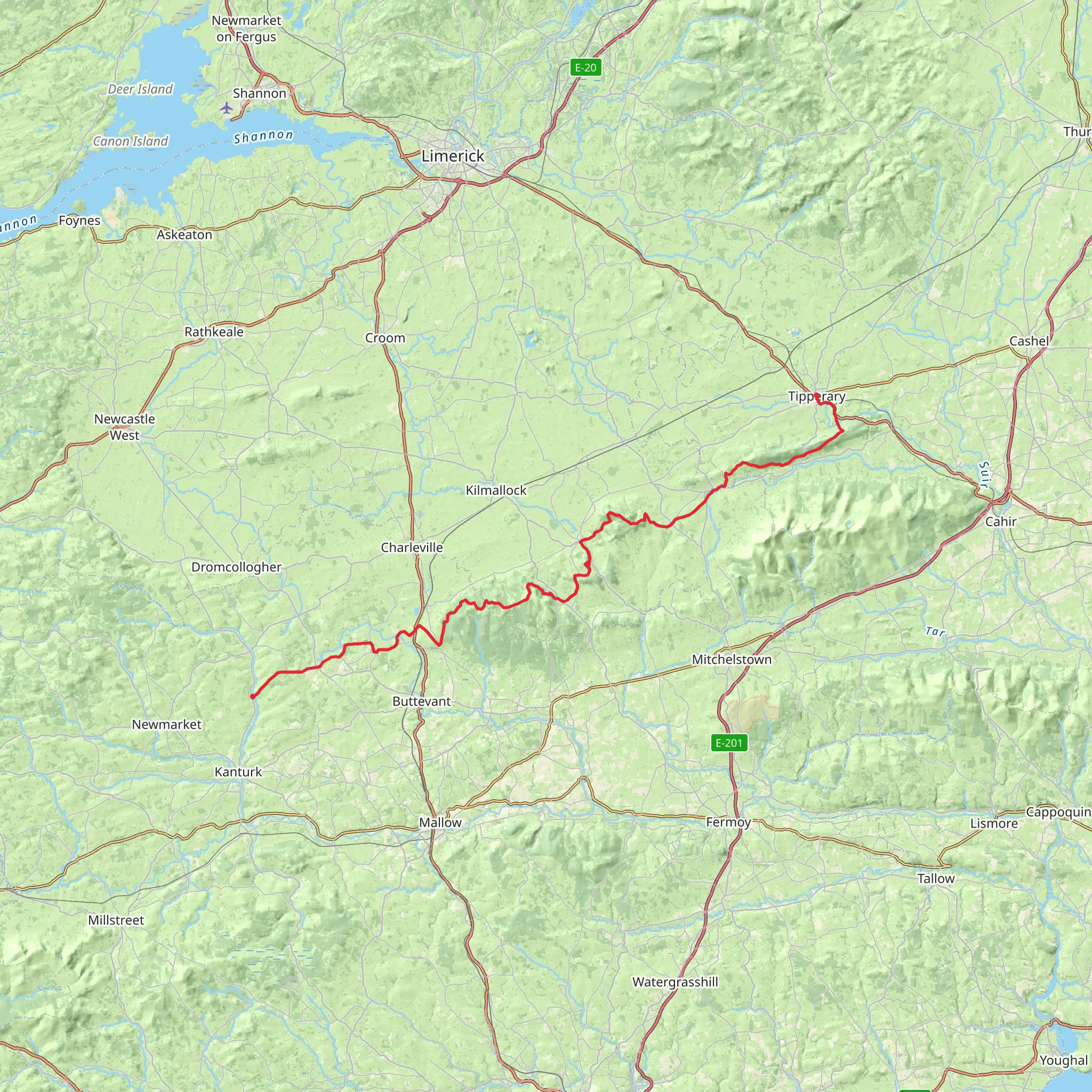
The Ballyhoura Way is a captivating long-distance trail that meanders through the lush landscapes of Counties Limerick and Cork in Ireland. Spanning approximately 88 kilometers (about 55 miles) and with an elevation gain of around 1500 meters (nearly 4921 feet), this trail offers a medium difficulty level, making it accessible to hikers with a reasonable level of fitness.
Starting near the town of St John's Bridge in County Cork, the trailhead is accessible by car, with parking available in the nearby town of Kilfinane. For those relying on public transport, buses serve the towns close to the trail, but it may require some planning to align with hiking schedules.
Navigating the Trail
As you embark on the Ballyhoura Way, the use of a navigation tool like HiiKER can be invaluable for staying on track and being aware of upcoming waypoints. The trail is well-marked with the standard yellow walking man symbol, but having a digital map can help in areas where signage might be less obvious.
Natural Beauty and Wildlife
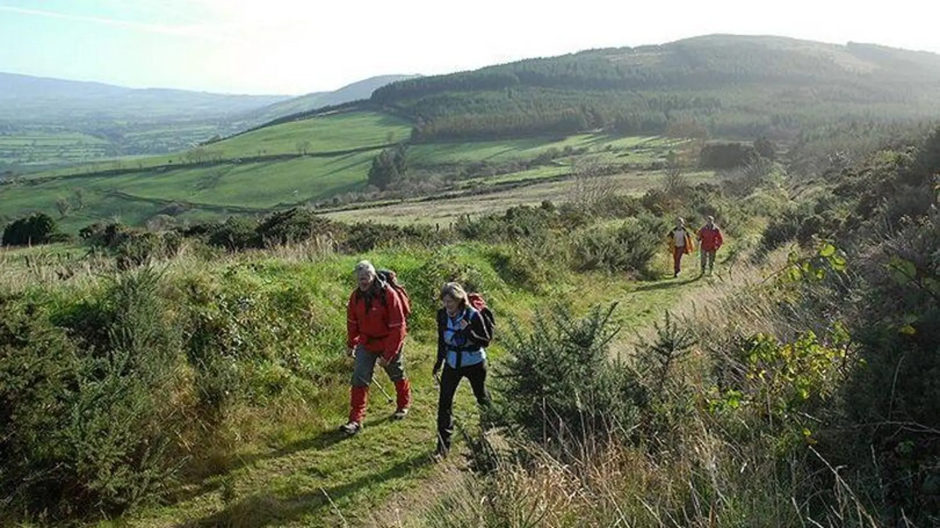
The Ballyhoura Way traverses a variety of landscapes, from quiet country roads and forested paths to open mountain heath. The trail offers an immersive experience into the Irish countryside, with opportunities to spot local wildlife such as foxes, badgers, and a variety of bird species. The lush greenery of the Ballyhoura Mountains is punctuated by streams and rivers, adding to the serene atmosphere.
Historical Landmarks
The region is steeped in history, and as you hike, you'll encounter numerous historical landmarks. One of the highlights is Lough Gur, which you'll reach after approximately 35 kilometers (about 22 miles). This significant archaeological site is home to a number of ancient monuments, including stone circles, megalithic tombs, and a castle. The lake itself is a serene spot, perfect for a restful break while contemplating the area's rich past.
Challenges and Considerations
The trail includes some challenging sections, particularly as it ascends into the Ballyhoura Mountains. The terrain can be uneven, with some steep inclines that contribute to the overall elevation gain. Proper hiking boots and weather-appropriate clothing are essential, as the weather can be unpredictable.
Amenities and Accommodation
Along the route, there are several villages where hikers can find accommodation, ranging from B&Bs to self-catering cottages. It's advisable to book in advance, especially during peak hiking seasons. These villages also offer the chance to refuel with local cuisine and stock up on supplies.
End of the Trail
The Ballyhoura Way concludes in the town of Limerick Junction, where hikers can celebrate their accomplishment. From here, transportation options are available to return to the starting point or continue to other destinations.
Preparation Tips
Before setting out, ensure you have a detailed map and consider downloading the trail on HiiKER to your phone for offline use. Check the weather forecast, pack sufficient water and snacks, and inform someone of your hiking plan. With the right preparation, the Ballyhoura Way is a rewarding hike that offers a blend of natural beauty and historical intrigue.
What to expect?
Comments and Reviews
User comments, reviews and discussions about the Ballyhoura Way, Ireland.
4.7
average rating out of 5
27 rating(s)

