Download
Preview
Add to list
More
Trail length
9.0 km
Time
~2 hrs 4 min
Elevation Gain
169 m
Hike Type
Loop
“The Cahir Loop in Ballingeary offers a scenic 9 km hike through lush landscapes and historic landmarks.”
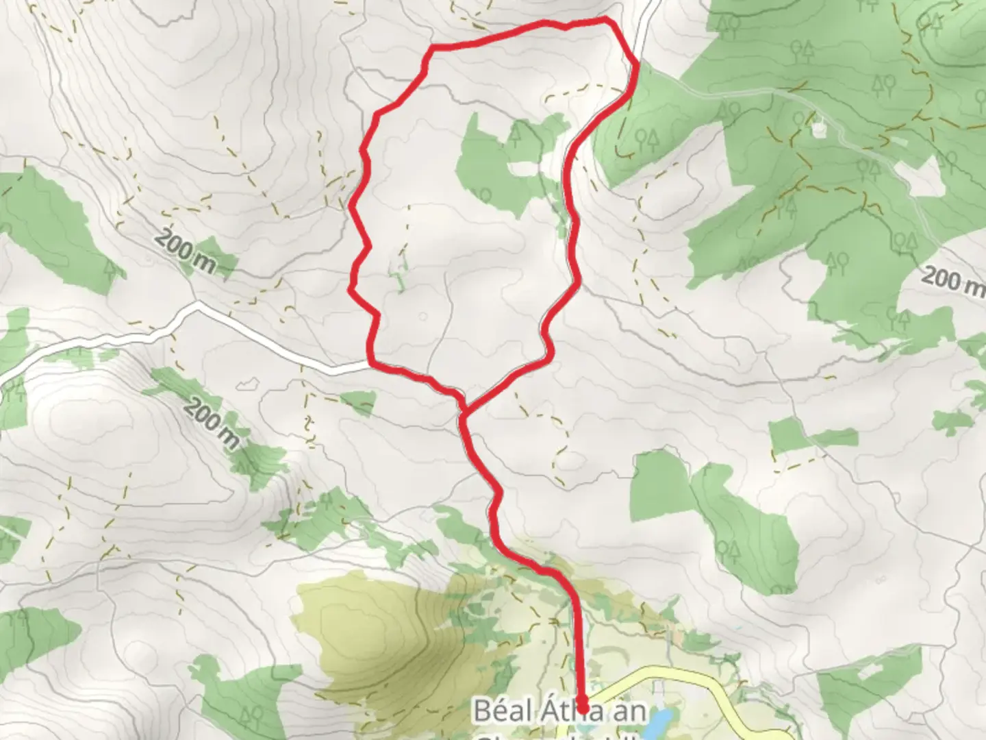
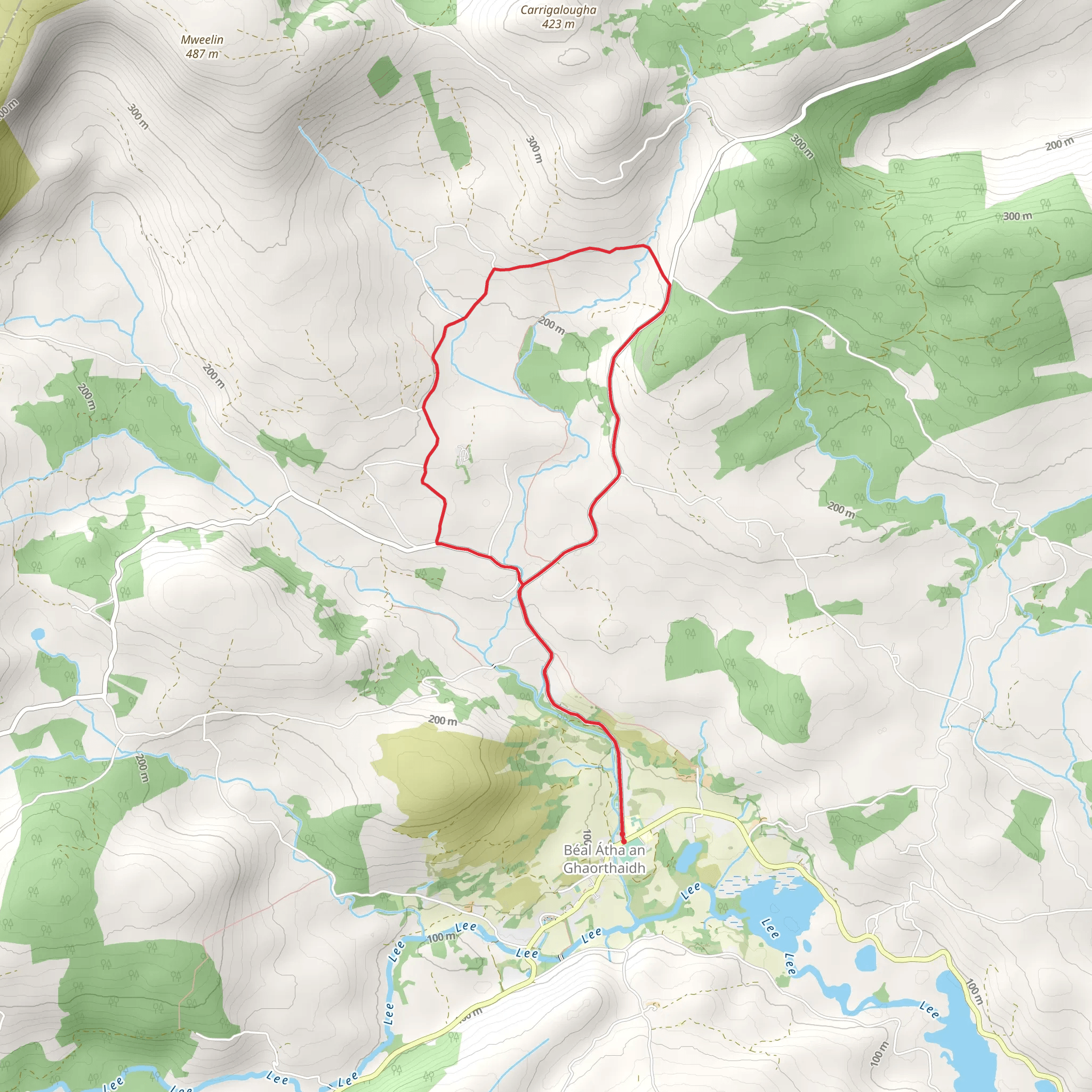
Starting near the picturesque village of Ballingeary in County Cork, Ireland, the Cahir Loop is a delightful 9 km (approximately 5.6 miles) trail that offers a moderate challenge with an elevation gain of around 100 meters (328 feet). This loop trail is perfect for those looking to immerse themselves in the serene beauty of the Irish countryside while enjoying a manageable hike.
Getting There To reach the trailhead, you can drive or use public transport. If driving, head towards Ballingeary, which is accessible via the R584 road. For those relying on public transport, Bus Éireann operates services to Ballingeary from Cork City. The nearest significant landmark to the trailhead is the Ballingeary GAA Club, which provides a convenient starting point.
Trail Overview The Cahir Loop begins with a gentle ascent, allowing hikers to gradually acclimate to the elevation gain. As you start, you'll be greeted by lush green fields and the soothing sounds of nearby streams. The initial part of the trail is well-marked and easy to follow, making it suitable for hikers of varying experience levels.
Nature and Wildlife As you progress, the trail meanders through a mix of open landscapes and dense woodlands. Keep an eye out for native wildlife such as red foxes, hares, and a variety of bird species. The flora is equally captivating, with vibrant wildflowers dotting the path during the spring and summer months.
Significant Landmarks Around the 3 km (1.9 miles) mark, you'll encounter the ruins of an old stone cottage, a poignant reminder of the area's rich history. This region has been inhabited for centuries, and the remnants of past settlements add a layer of historical intrigue to your hike.
Midpoint and Elevation At approximately 4.5 km (2.8 miles), you'll reach the highest point of the trail, offering panoramic views of the surrounding countryside. This is an excellent spot to take a break, enjoy a snack, and soak in the scenery. The elevation gain here is around 100 meters (328 feet), providing a rewarding challenge without being overly strenuous.
Navigation For navigation, it's highly recommended to use the HiiKER app, which provides detailed maps and real-time updates to ensure you stay on track. The trail is generally well-marked, but having a reliable navigation tool can enhance your hiking experience.
Final Stretch The descent begins gradually, leading you back through more wooded areas and open fields. As you near the end of the loop, the trail flattens out, making for a pleasant and easy finish. You'll eventually find yourself back at the starting point near the Ballingeary GAA Club, completing a fulfilling and scenic hike.
Historical Significance The Ballingeary area is steeped in history, with roots tracing back to ancient Gaelic culture. The nearby Gougane Barra, a short drive from the trailhead, is home to a 6th-century monastic site founded by St. Finbarr, the patron saint of Cork. This historical context adds a rich backdrop to your hiking adventure, making the Cahir Loop not just a physical journey, but a cultural one as well.
Comments and Reviews
User comments, reviews and discussions about the Ballingeary Loops – Cahir Loop, Ireland.
4.62
average rating out of 5
21 rating(s)
