Download
Preview
Add to list
More
6.1 km
~1 hrs 35 min
223 m
Loop
“Discover the 12 O Clock Hills Red Route: a captivating 6 km blend of nature, history, and panoramic views.”
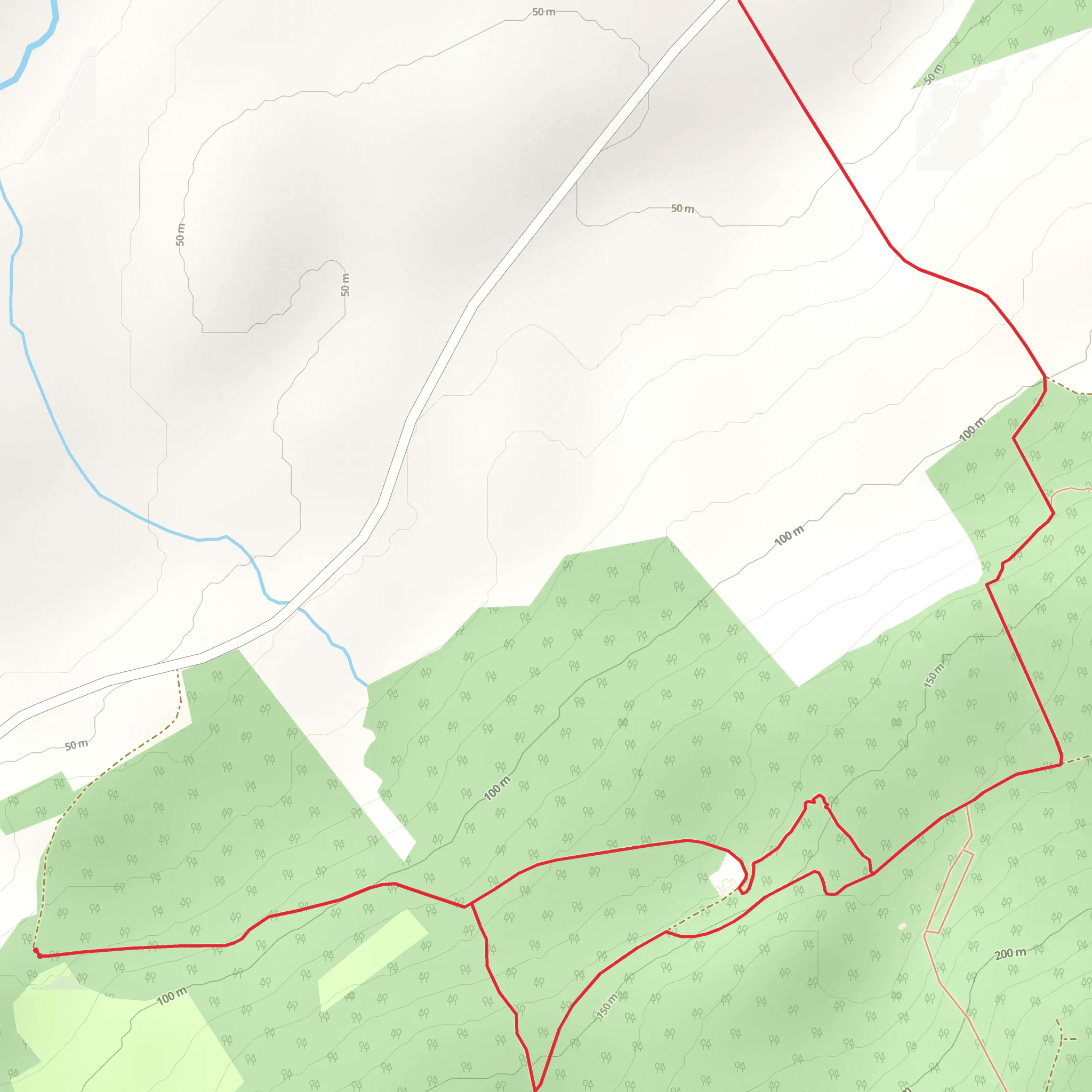
Starting near County Clare, Ireland, the 12 O Clock Hills Looped Walks - Red Route is a captivating 6 km (approximately 3.7 miles) loop trail with an elevation gain of around 200 meters (656 feet). This medium-difficulty trail offers a blend of natural beauty, historical landmarks, and panoramic views, making it a rewarding experience for hikers.
Getting There To reach the trailhead, you can drive or use public transport. If driving, head towards the village of Kilkishen in County Clare. From Kilkishen, follow the signs for the 12 O Clock Hills, and you will find a designated parking area near the trailhead. For those using public transport, the nearest significant landmark is the town of Ennis. From Ennis, you can take a local bus or taxi to Kilkishen, and then proceed to the trailhead.
Trail Overview The trail begins with a gentle ascent through a lush forest, where you will be surrounded by a variety of native trees such as oak, ash, and birch. As you progress, the path becomes steeper, leading you to the first significant landmark, the "Fairy Fort" at approximately 1.5 km (0.9 miles) into the hike. This ancient ring fort is steeped in local folklore and offers a glimpse into Ireland's rich history.
Mid-Trail Highlights Continuing along the trail, you will encounter a series of waymarked posts that guide you through the more challenging sections. Around the 3 km (1.86 miles) mark, you will reach the summit of the 12 O Clock Hills. Here, you can take a moment to enjoy the breathtaking views of the surrounding countryside, including the Shannon Estuary and the distant Slieve Bernagh mountains.
The descent from the summit is gradual, taking you through open heathland where you might spot local wildlife such as red foxes, hares, and a variety of bird species including skylarks and kestrels. The trail then re-enters the forest, providing a shaded and serene environment as you make your way back to the starting point.
Historical Significance The 12 O Clock Hills are named after a local tradition where farmers would use the position of the sun over the hills to tell the time. This area is rich in history, with several ancient sites including the aforementioned Fairy Fort and remnants of old stone walls and farmsteads that date back centuries.
Navigation and Safety For navigation, it is recommended to use the HiiKER app, which provides detailed maps and real-time tracking to ensure you stay on the correct path. The trail is well-marked, but having a reliable navigation tool can enhance your hiking experience and provide peace of mind.
Final Stretch As you approach the final stretch of the trail, you will pass by a small stream and a picturesque wooden bridge, adding to the scenic beauty of the hike. The loop concludes back at the trailhead, where you can reflect on the diverse landscapes and historical insights you have encountered along the way.
This trail offers a perfect blend of natural beauty, moderate physical challenge, and historical intrigue, making it a must-visit for hikers exploring County Clare.
Comments and Reviews
User comments, reviews and discussions about the 12 O Clock Hills Looped Walks - Red Route, Ireland.
4.45
average rating out of 5
22 rating(s)

