Download
Preview
Add to list
More
2.9 km
~43 min
81 m
Loop
“Explore Table Rock Trail's diverse terrain, rich history, and vibrant flora on a scenic 3 km loop.”
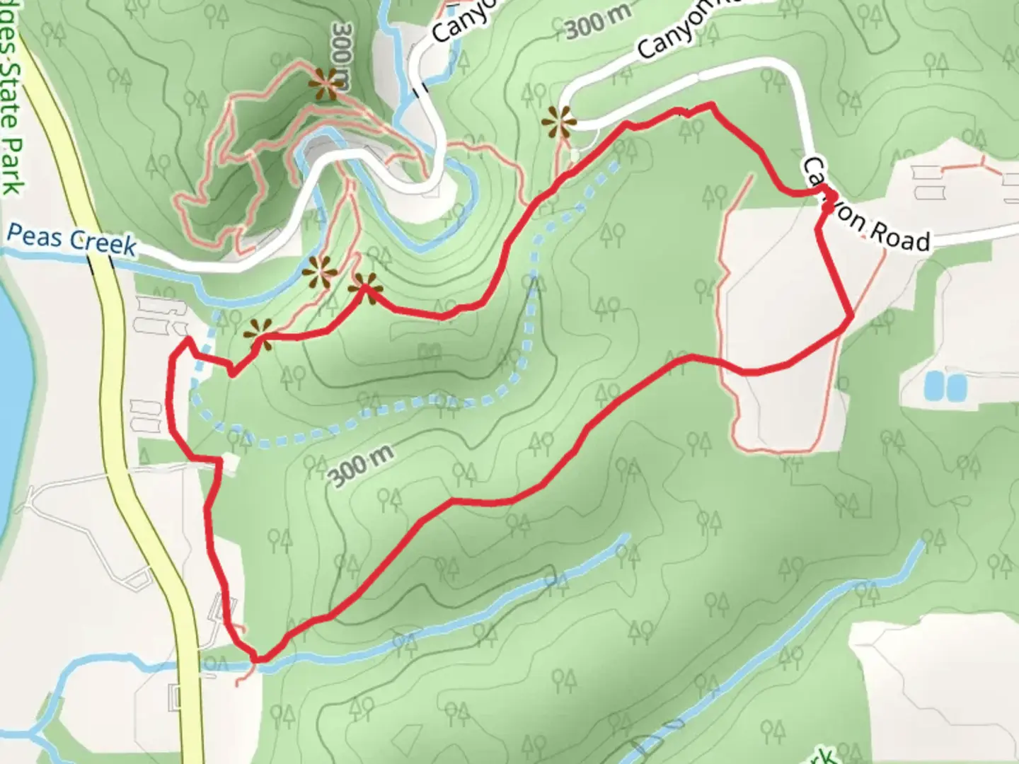
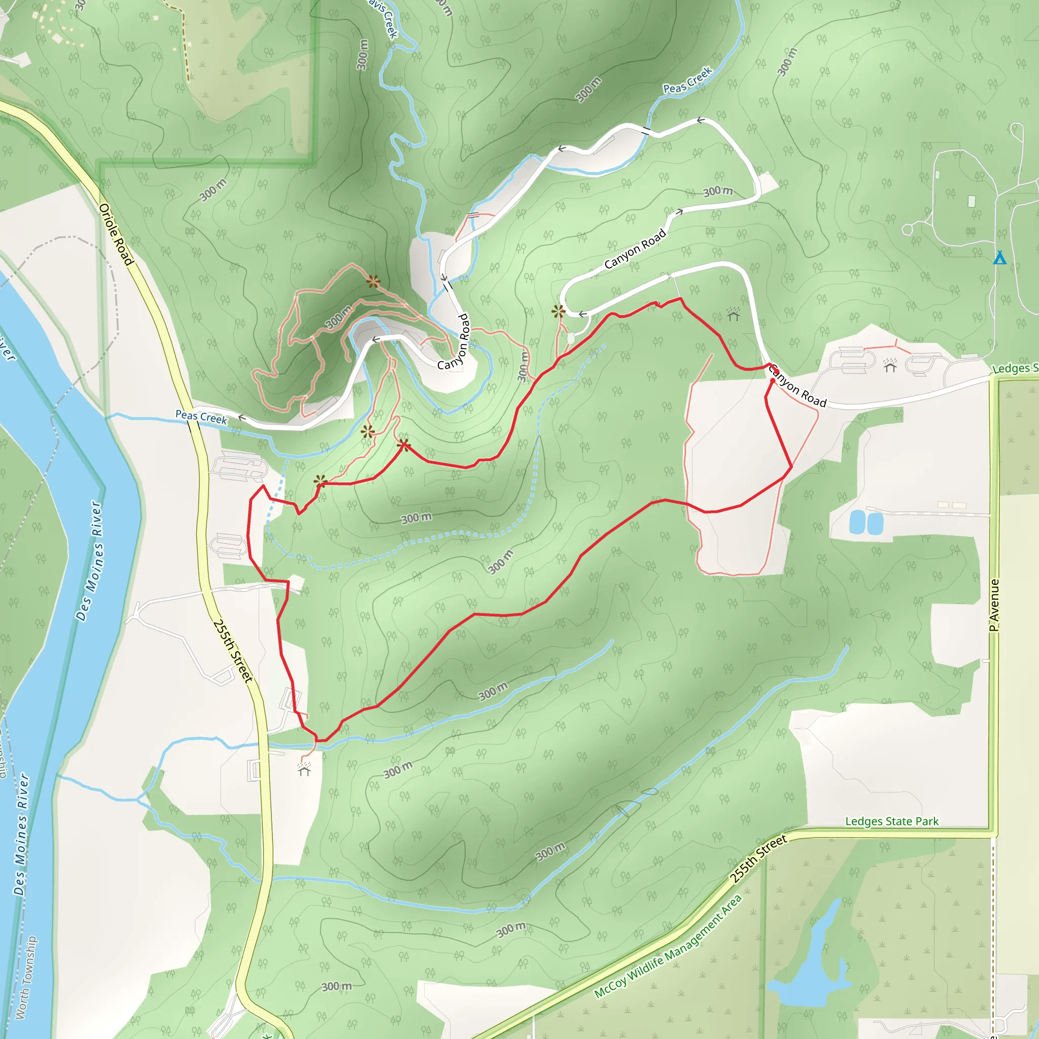
Starting your adventure near Boone County, Iowa, the Table Rock Trail offers a delightful 3 km (1.86 miles) loop with no significant elevation gain, making it accessible for a wide range of hikers. This trail is rated as medium difficulty, primarily due to its varied terrain and occasional rocky sections.
Getting There To reach the trailhead, you can drive or use public transport. If driving, head towards Boone County and look for signs directing you to the Table Rock Trail parking area. For those using public transport, the nearest significant landmark is the Boone & Scenic Valley Railroad, located at 225 10th St, Boone, IA 50036. From there, you may need to arrange a taxi or rideshare to the trailhead.
Trail Navigation The loop begins at the designated trailhead, marked by a clear signpost. For navigation, consider using the HiiKER app, which provides detailed maps and real-time updates. The trail is well-marked with blazes on trees and occasional signposts, making it easy to follow.
What to Expect As you embark on the trail, you'll be greeted by a lush canopy of deciduous trees, providing ample shade during the warmer months. The first section of the trail is relatively flat, winding through a serene forested area. Keep an eye out for local wildlife, including white-tailed deer, red foxes, and a variety of bird species such as the Eastern Bluebird and Red-tailed Hawk.
Significant Landmarks Approximately 1 km (0.62 miles) into the hike, you'll come across a small, picturesque creek. This is a great spot to take a short break and enjoy the natural surroundings. Continuing on, the trail gradually becomes rockier, leading you to the namesake Table Rock formation around the 2 km (1.24 miles) mark. This large, flat rock offers a perfect vantage point for panoramic views of the surrounding forest and rolling hills.
Historical Significance The area around Table Rock has a rich history. Native American tribes, including the Ioway and Sioux, once inhabited this region. Artifacts such as arrowheads and pottery shards have been found nearby, indicating the area's long-standing significance. Additionally, the trail passes through sections of what was once a 19th-century logging route, remnants of which can still be seen in the form of old, weathered stumps and occasional logging equipment.
Flora and Fauna The trail is a botanist's delight, featuring a variety of plant species. In spring and summer, you'll find wildflowers like Trillium and Jack-in-the-Pulpit. The forest floor is often carpeted with ferns and mosses, adding to the trail's enchanting atmosphere. During autumn, the foliage transforms into a vibrant tapestry of reds, oranges, and yellows, making it a popular time for hikers and photographers alike.
Final Stretch The last kilometer of the trail loops back towards the trailhead, passing through a more open area with grassy meadows. This section is ideal for spotting butterflies and other insects, especially during the warmer months. The trail eventually re-enters the forest, leading you back to where you started.
Preparation Tips Given the medium difficulty rating, it's advisable to wear sturdy hiking boots to navigate the rocky sections comfortably. Bring plenty of water, especially during the summer months, and consider packing a small first-aid kit. While the trail is well-marked, having the HiiKER app on hand can provide additional peace of mind.
Enjoy your hike on the Table Rock Trail, where natural beauty and historical intrigue combine to offer a memorable outdoor experience.
What to expect?
Activity types
Comments and Reviews
User comments, reviews and discussions about the Table Rock Trail, Iowa.
4.45
average rating out of 5
92 rating(s)
