Download
Preview
Add to list
More
9.1 km
~1 hrs 52 min
35 m
Point-to-Point
“Explore diverse landscapes and rich history on the accessible 9 km Flat Fork Creek to Fortville trail.”
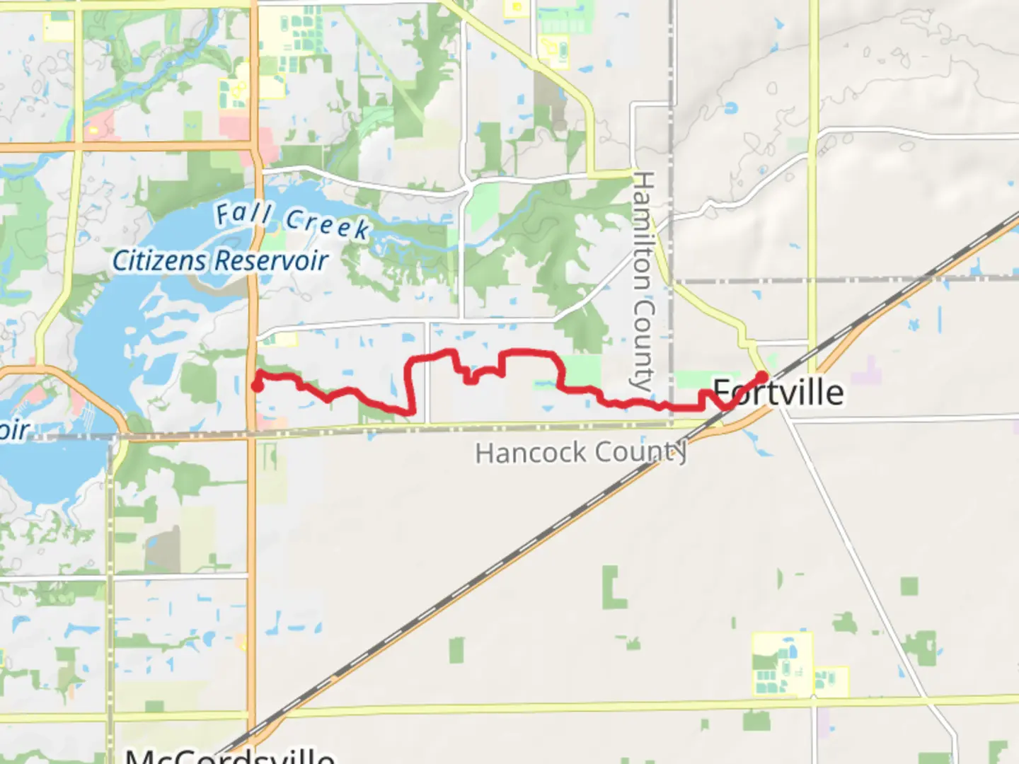
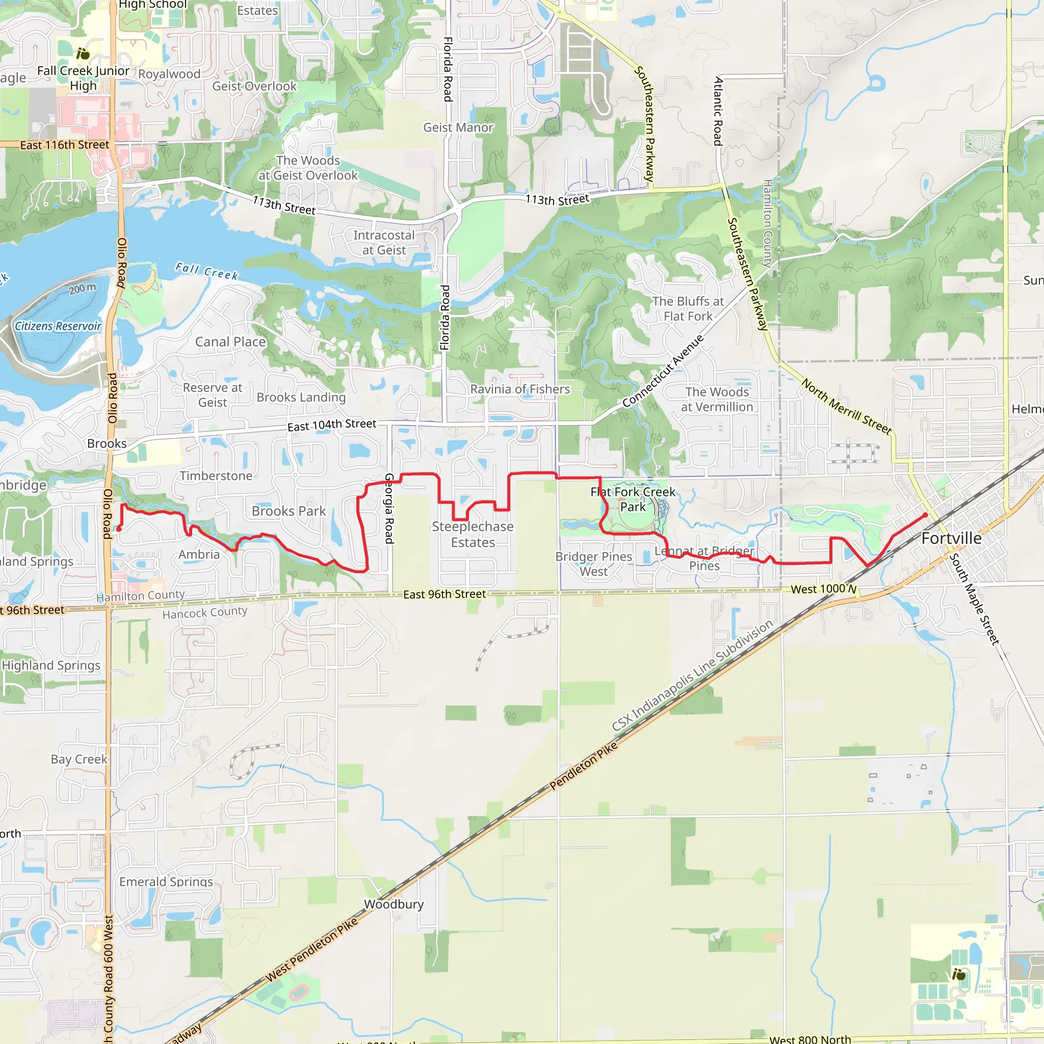
Starting near Hamilton County, Indiana, the Flat Fork Creek Park and Fortville Memorial Park Walk is a point-to-point trail stretching approximately 9 km (about 5.6 miles) with no significant elevation gain, making it a relatively flat and accessible hike. This trail is estimated to be of medium difficulty, suitable for hikers with a moderate level of fitness.
Getting There To reach the trailhead, you can drive or use public transportation. If driving, head towards Flat Fork Creek Park, located at 16141 E 101st St, Fortville, IN 46040. There is ample parking available at the park. For those using public transport, the nearest bus stop is at the intersection of Olio Road and 101st Street, from where it's a short walk to the trailhead.
Trail Overview The trail begins at Flat Fork Creek Park, a well-maintained area known for its scenic beauty and family-friendly amenities. As you start your hike, you'll traverse through a mix of wooded areas and open fields, offering a variety of landscapes. The park itself is a haven for local wildlife, so keep an eye out for deer, rabbits, and a variety of bird species.
Key Landmarks and Points of Interest - **Flat Fork Creek Treehouse**: About 1 km (0.6 miles) into the hike, you'll come across the Flat Fork Creek Treehouse. This unique structure is a great spot for a short break and offers a bird's-eye view of the surrounding forest. - **Fishing Pond**: Around the 2 km (1.2 miles) mark, you'll pass by a serene fishing pond. This is a popular spot for local anglers and a great place to observe aquatic life. - **Prairie Restoration Area**: At approximately 3 km (1.9 miles), you'll enter a prairie restoration area. This section of the trail is particularly beautiful in the spring and summer when wildflowers are in full bloom.
Historical Significance The region around Flat Fork Creek Park and Fortville Memorial Park has a rich history. Fortville, established in the mid-19th century, was a significant stop along the Pittsburgh, Cincinnati, Chicago, and St. Louis Railroad. The town's historical significance is commemorated in Fortville Memorial Park, which you will reach towards the end of your hike.
Navigation and Safety For navigation, it's recommended to use the HiiKER app, which provides detailed maps and real-time updates. The trail is well-marked, but having a reliable navigation tool can enhance your hiking experience.
Ending the Hike The trail concludes at Fortville Memorial Park, located at 400 W Church St, Fortville, IN 46040. This park is a great place to relax after your hike, featuring picnic areas, playgrounds, and historical markers that provide insight into the town's past.
Wildlife and Flora Throughout the hike, you'll encounter a diverse range of flora and fauna. The wooded sections are home to oak, maple, and hickory trees, while the open fields and prairie areas are abundant with wildflowers and grasses. Wildlife sightings are common, so bring binoculars if you're interested in birdwatching.
This trail offers a blend of natural beauty, historical context, and recreational opportunities, making it a rewarding experience for hikers of all ages.
What to expect?
Activity types
Comments and Reviews
User comments, reviews and discussions about the Flat Fork Creek Park and Fortville Memorial Park Walk, Indiana.
4.48
average rating out of 5
48 rating(s)
