Download
Preview
Add to list
More
133.1 km
~6 days
145 m
Multi-Day
“Embark on a historic 83-mile journey along Illinois' Hennepin Canal, surrounded by diverse wildlife and serene landscapes.”
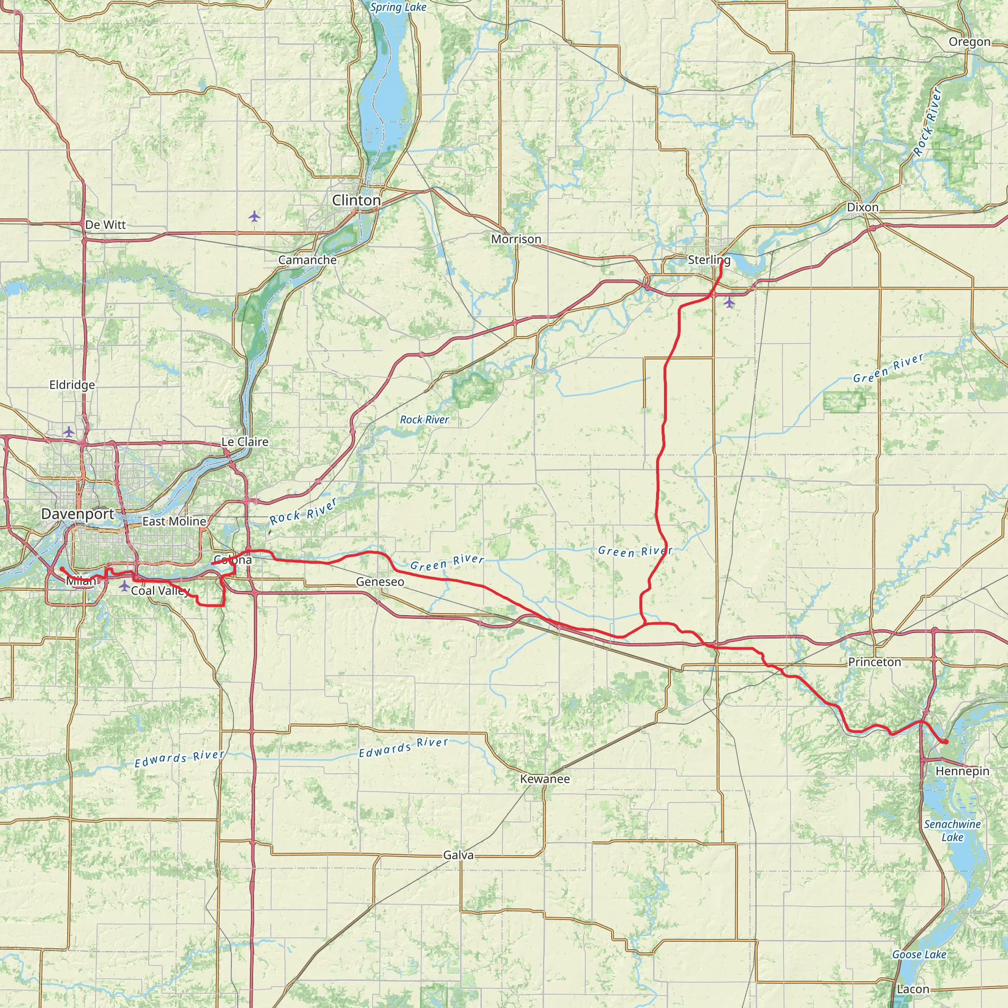
Spanning approximately 133 kilometers (about 83 miles) with a minimal elevation gain of around 100 meters (328 feet), the Hennepin Canal Parkway Trail offers a unique journey through the heartland of Illinois. This point-to-point trail begins near Rock Island County and stretches eastward, providing a medium-difficulty trek that is accessible to hikers of various skill levels.
Getting to the Trailhead
To reach the starting point of the Hennepin Canal Parkway Trail, hikers can drive to the vicinity of Rock Island County, where parking is available near the intersection of 1st Avenue and 17th Street in Rock Island, Illinois. For those relying on public transportation, local bus services can be utilized to get close to the trailhead, followed by a short walk to reach the starting point.
Trail Experience
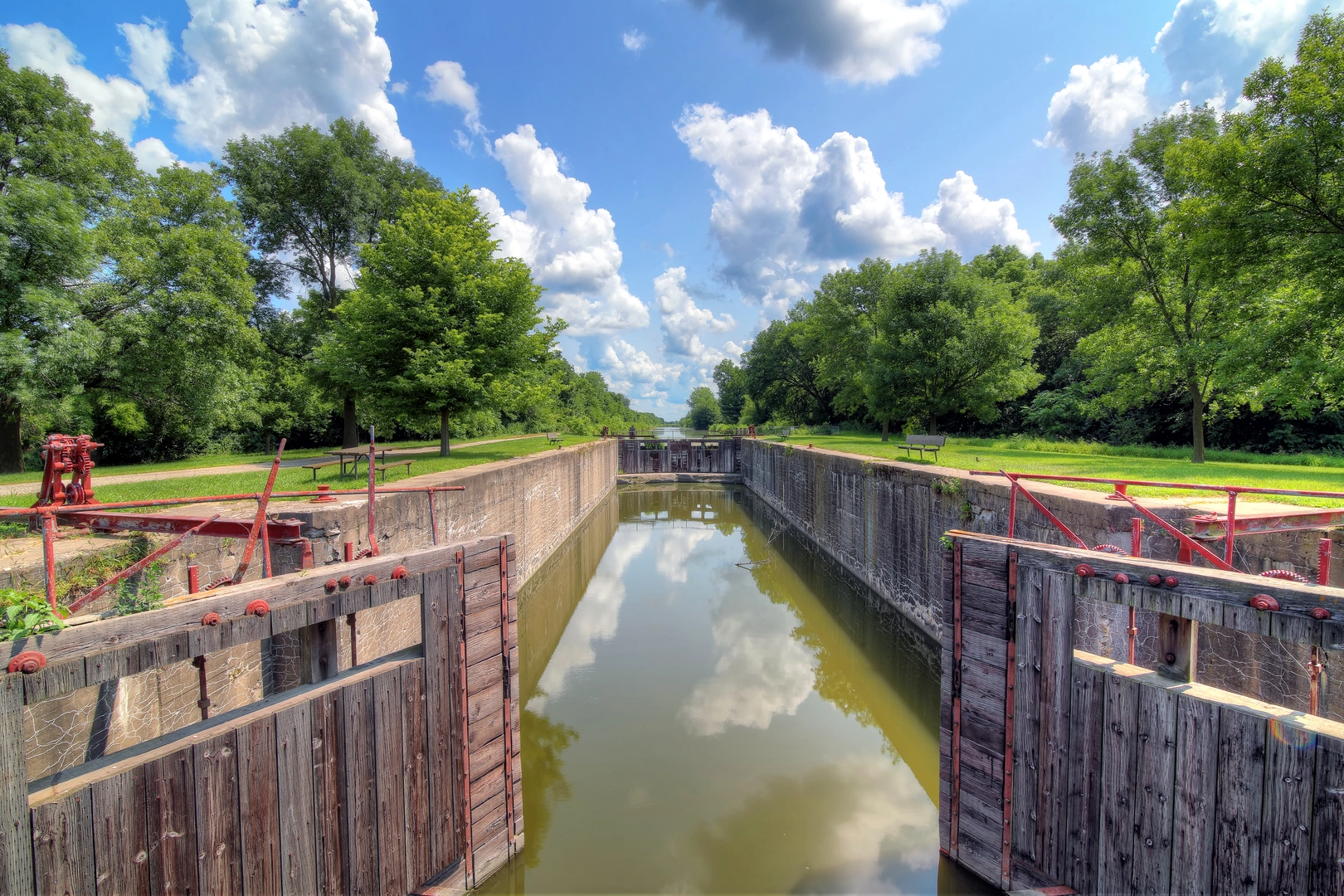
As you embark on the Hennepin Canal Parkway Trail, you'll be following the historical path of the Hennepin Canal, which was once a vital waterway connecting the Illinois and Mississippi Rivers. The trail is well-maintained and primarily consists of crushed limestone and paved sections, making it suitable for both hiking and biking.
Historical Significance and Landmarks
The Hennepin Canal, completed in the early 20th century, is a testament to engineering feats of the time and played a significant role in the region's economic development. As you traverse the trail, you'll encounter numerous locks, aqueducts, and restored historical buildings that tell the story of the canal's past. Notable landmarks include the Visitor Center at Lock 22, near Sheffield, which offers insights into the canal's history and the engineering behind it.
Flora and Fauna
The trail is enveloped by a diverse array of Midwestern flora and fauna. Expect to see a variety of bird species, including red-tailed hawks and blue herons, as well as the occasional deer grazing near the path. The surrounding landscape is a mix of woodlands, prairies, and wetlands, offering a serene backdrop for your hike.
Navigation and Preparation
For navigation along the Hennepin Canal Parkway Trail, HiiKER is an excellent tool to keep you on track. It's advisable to download the trail map on your device before setting out, as cell service can be spotty in some areas. Ensure you have adequate water and snacks, as there are limited services along the trail. Seasonal weather conditions should be considered, and appropriate clothing and gear should be packed accordingly.
Conclusion
The Hennepin Canal Parkway Trail is not only a journey through the scenic landscapes of Illinois but also a voyage back in time, allowing hikers to experience the historical significance of the Hennepin Canal. Whether you're seeking a long-distance adventure or a leisurely day hike, this trail offers a unique and enriching outdoor experience.
What to expect?
Activity types
Comments and Reviews
User comments, reviews and discussions about the Hennepin Canal Parkway Trail, Illinois.
4.69
average rating out of 5
13 rating(s)

