Download
Preview
Add to list
More
25.9 km
~1 day 0 hrs
258 m
Out and Back
“Immerse yourself in the scenic beauty and rich history of the 26-kilometer Kankakee River-Davis Creek trail.”
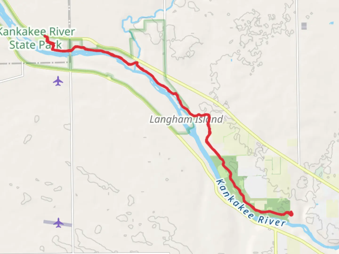
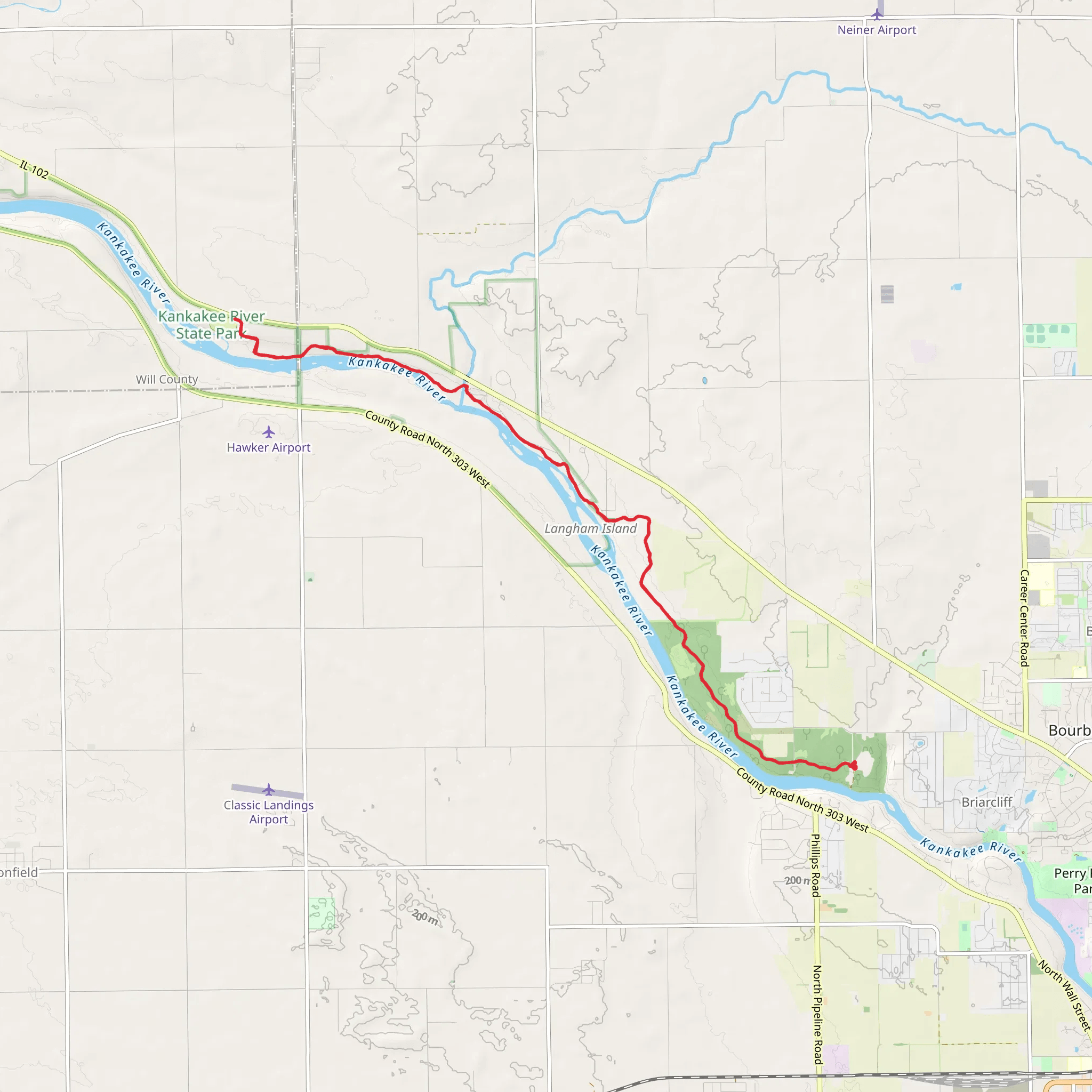
Starting near Kankakee County, Illinois, the Walk along Kankakee River - Davis Creek Group Camp trail offers a scenic out-and-back journey spanning approximately 26 kilometers (16 miles) with an elevation gain of around 200 meters (656 feet). This medium-difficulty trail is perfect for those looking to immerse themselves in the natural beauty and historical significance of the area.
Getting There To reach the trailhead, you can drive or use public transportation. If driving, head towards Kankakee County, Illinois, and look for signs directing you to the Kankakee River State Park. The nearest significant landmark is the Kankakee River State Park Main Office, located at 5314 W. Route 102, Bourbonnais, IL 60914. For those using public transport, the nearest major city is Chicago, from where you can take a train to Kankakee Station and then a taxi or rideshare to the park.
Trail Overview The trail begins near the Kankakee River, offering immediate views of the serene waterway. As you start your hike, you'll notice the lush greenery and the sound of the river flowing beside you. The first few kilometers are relatively flat, making for an easy start.
Significant Landmarks and Nature Around the 5-kilometer (3-mile) mark, you'll come across Rock Creek, a tributary that merges with the Kankakee River. This area is known for its picturesque views and is a great spot for a short break. Continuing along the trail, you'll encounter various species of flora and fauna. Keep an eye out for white-tailed deer, red foxes, and a variety of bird species, including the great blue heron and the American bald eagle.
Historical Significance The Kankakee River area is rich in history. Native American tribes, including the Potawatomi, once inhabited this region. As you hike, you'll come across several historical markers that provide insights into the area's past. Around the 10-kilometer (6-mile) point, you'll find a plaque commemorating the French explorers who navigated the river in the 17th century.
Elevation and Terrain As you approach the halfway point, the trail begins to ascend gradually. The elevation gain is around 200 meters (656 feet) in total, but it is spread out over the course of the hike, making it manageable for most hikers. The terrain varies from flat riverbanks to gently rolling hills, providing a mix of easy and moderate sections.
Navigation and Safety For navigation, it's highly recommended to use the HiiKER app, which provides detailed maps and real-time updates. The trail is well-marked, but having a reliable navigation tool will ensure you stay on track. Be sure to carry enough water, especially during the warmer months, and wear appropriate footwear as some sections can be muddy or slippery after rain.
Final Stretch The turnaround point is at the Davis Creek Group Camp, a perfect spot to rest and enjoy a picnic before heading back. This area offers amenities such as picnic tables and restrooms, making it a convenient place to recharge.
As you make your way back to the trailhead, you'll have the opportunity to see the landscape from a different perspective, perhaps catching sight of wildlife you missed on the way out. The return journey offers the same natural beauty and historical richness, making the entire hike a fulfilling experience.
What to expect?
Activity types
Comments and Reviews
User comments, reviews and discussions about the Walk along Kankakee River - Davis Creek Group Camp, Illinois.
4.42
average rating out of 5
26 rating(s)
