Download
Preview
Add to list
More
2.7 km
~1 hrs 5 min
339 m
Out and Back
“Explore the scenic and historic Steinfell's Dome Trail, a moderately challenging 3 km hike with stunning views.”
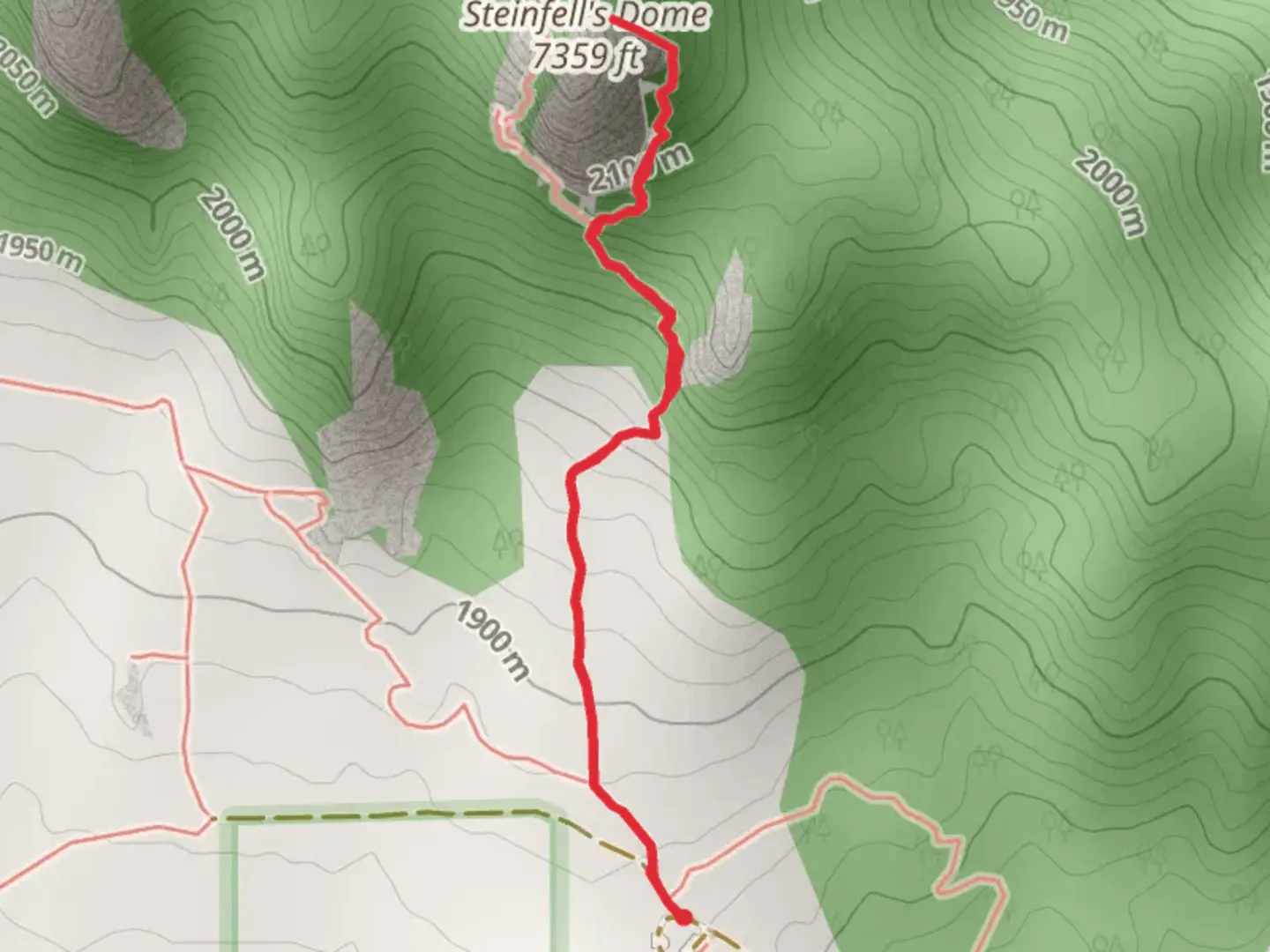
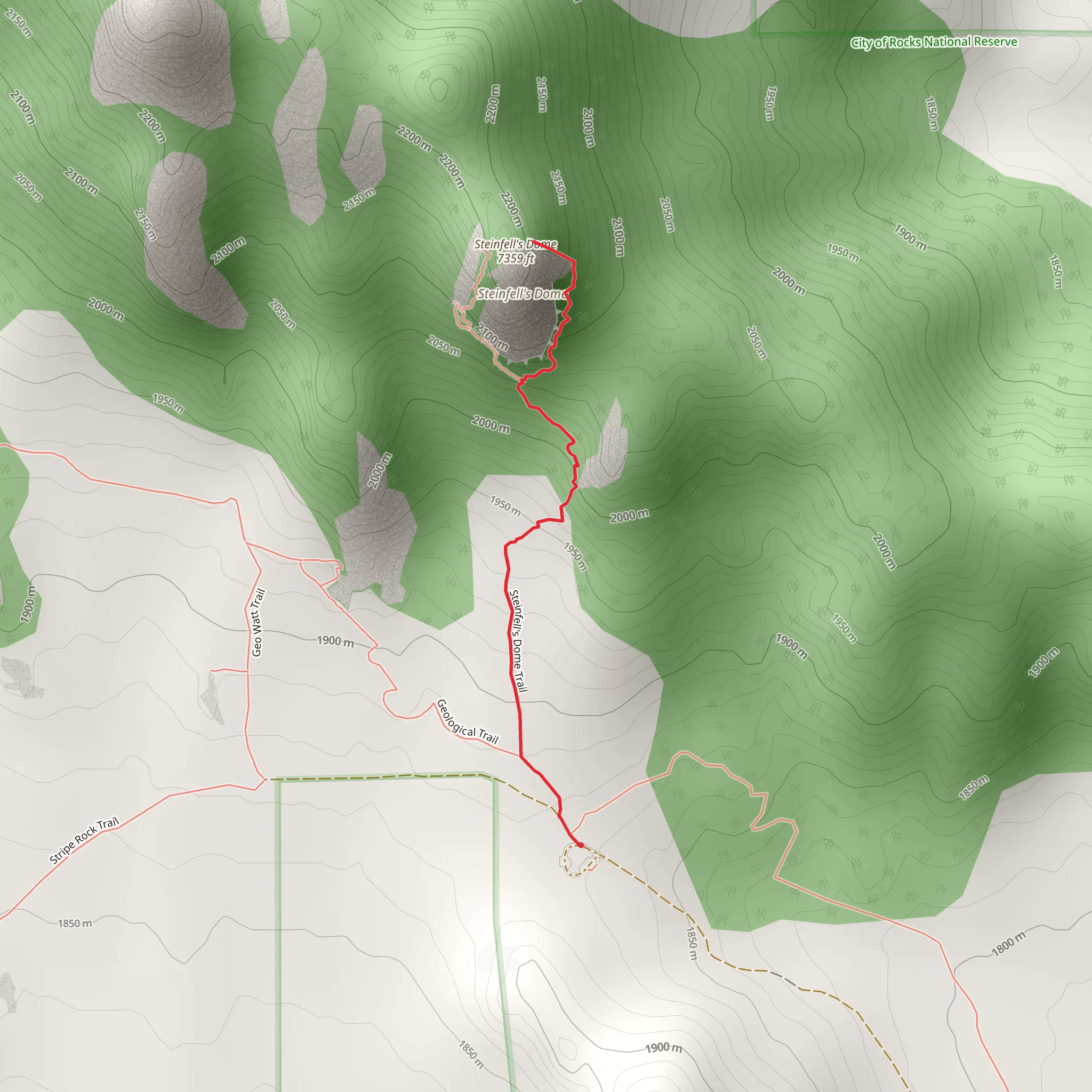
Starting near Cassia County, Idaho, the Steinfell's Dome Trail is a captivating out-and-back hike that spans approximately 3 km (1.86 miles) with an elevation gain of around 300 meters (984 feet). This trail is rated as medium difficulty, making it suitable for moderately experienced hikers.### Getting There To reach the trailhead, you can drive or use public transport. If driving, head towards the City of Rocks National Reserve, which is the nearest significant landmark. The trailhead is accessible via the City of Rocks Road. For those using public transport, the nearest major town is Burley, Idaho. From Burley, you can take a local bus or arrange for a taxi to the City of Rocks National Reserve.### Trail Navigation For navigation, it is highly recommended to use the HiiKER app, which provides detailed maps and real-time updates. The trail is well-marked, but having a reliable navigation tool can enhance your hiking experience.### Trail Description The trail begins with a gentle ascent through a mixed forest of pines and junipers. As you progress, the path becomes steeper, offering a moderate challenge. About 1 km (0.62 miles) into the hike, you'll encounter a small clearing that provides a stunning view of the surrounding valleys and rock formations.### Significant Landmarks One of the most notable landmarks along the trail is the Steinfell's Dome itself, a massive granite formation that dominates the landscape. Approximately 1.5 km (0.93 miles) from the trailhead, you'll reach the base of the dome. This area is popular among rock climbers, so don't be surprised to see climbers scaling the rock face.### Flora and Fauna The trail is rich in biodiversity. Keep an eye out for mule deer, which are commonly seen grazing in the early morning or late afternoon. Birdwatchers will also enjoy spotting various species such as the Mountain Bluebird and the Red-tailed Hawk. The flora includes sagebrush, wildflowers, and various types of grasses that add a splash of color to the landscape, especially in the spring and early summer.### Historical Significance The region around Steinfell's Dome has a rich history. It was a significant landmark for Native American tribes and later for pioneers traveling the California Trail. The City of Rocks National Reserve itself is a historic site, with many inscriptions and artifacts dating back to the 19th century.### Final Ascent The final stretch of the trail involves a steeper climb, gaining the last 100 meters (328 feet) in elevation over a short distance. This part of the hike can be challenging, but the panoramic views from the top of Steinfell's Dome are well worth the effort. On a clear day, you can see for miles, taking in the rugged beauty of the Idaho landscape.### Safety and Preparation Given the moderate difficulty of the trail, it's essential to come prepared. Wear sturdy hiking boots, bring plenty of water, and consider using trekking poles for the steeper sections. Weather can change rapidly, so check the forecast and dress in layers. Always let someone know your hiking plans and estimated return time.By following these guidelines and using the HiiKER app for navigation, you'll be well-prepared to enjoy the natural beauty and historical richness of the Steinfell's Dome Trail.
What to expect?
Activity types
Comments and Reviews
User comments, reviews and discussions about the Steinfell's Dome Trail, Idaho.
4.46
average rating out of 5
39 rating(s)
