Download
Preview
Add to list
More
30.2 km
~1 day 4 hrs
1971 m
Out and Back
“Trek the challenging 30-km Big Butte trail for stunning views, rich history, and diverse wildlife.”
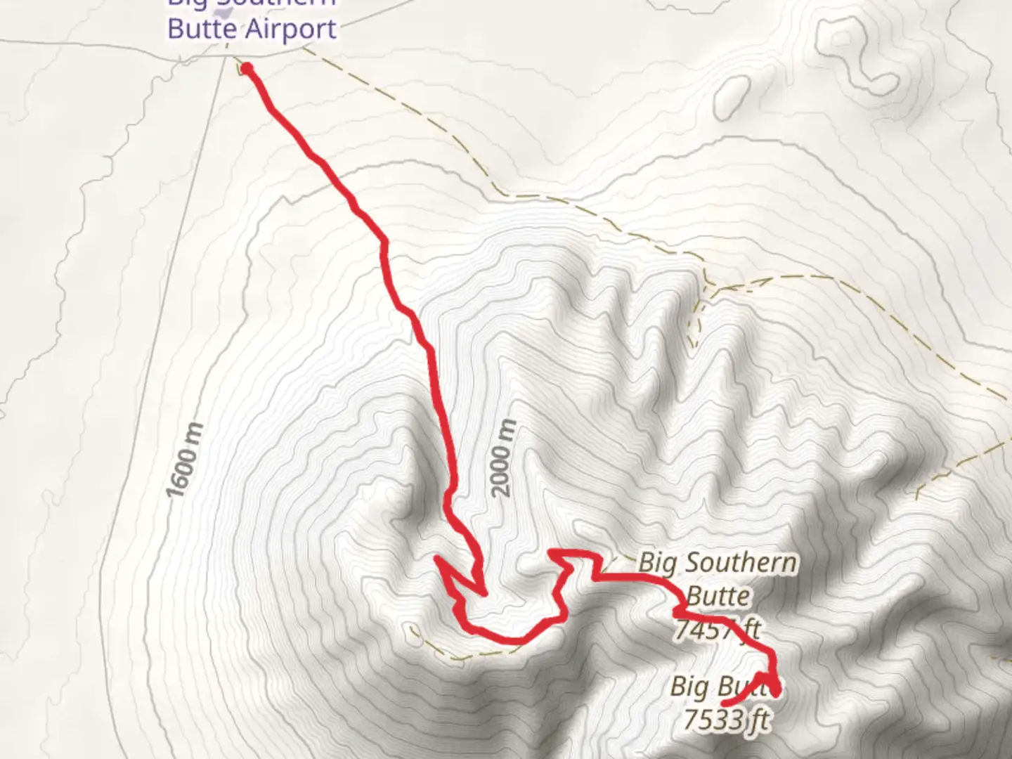
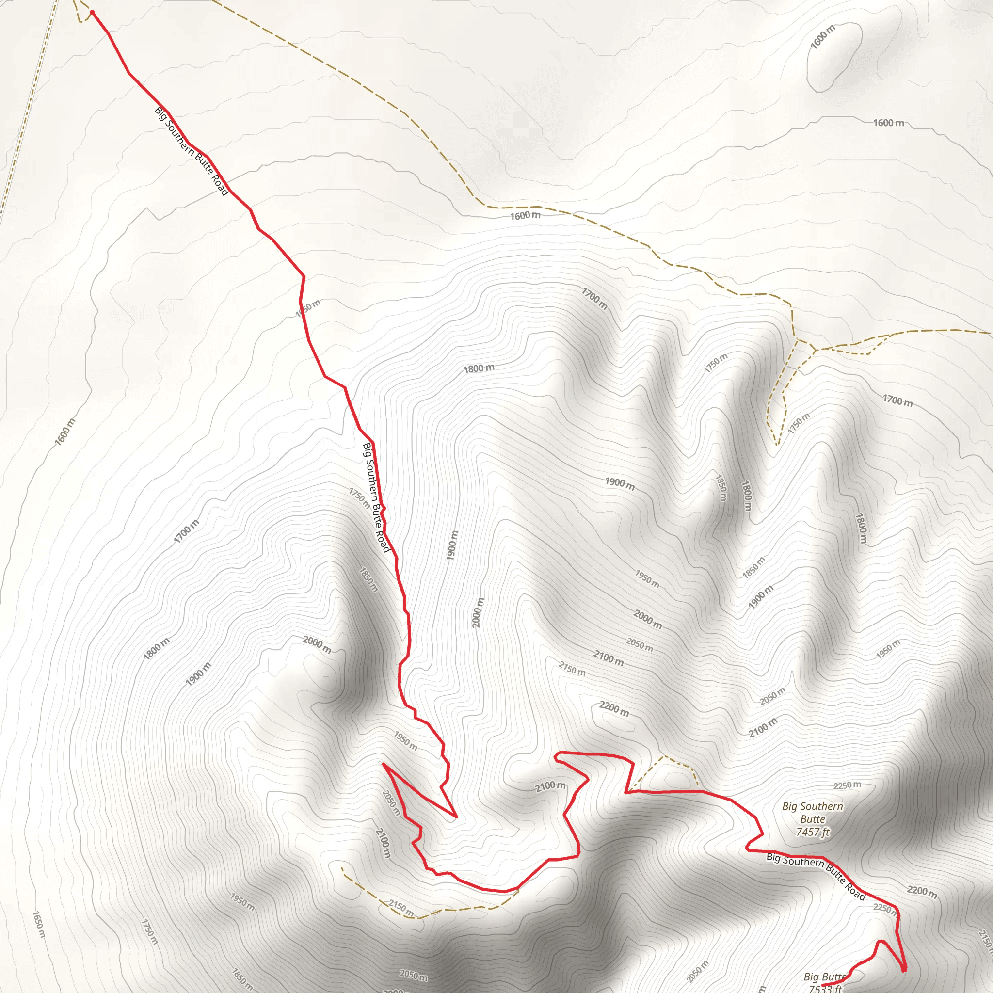
Starting your journey near Butte County, Idaho, the Big Butte via Big Southern Butte Road trail offers an invigorating out-and-back adventure spanning approximately 30 kilometers (around 18.6 miles) with an elevation gain of about 1900 meters (6234 feet). This trail is rated as medium difficulty, making it suitable for hikers with some experience and a good level of fitness.
Getting There To reach the trailhead, you can drive or use public transportation. If driving, head towards Butte County, Idaho, and look for the nearest significant landmark, which is the town of Arco. From Arco, follow local roads to the trailhead. Public transport options are limited, so driving is the most reliable way to get there.
Trail Overview The trail begins with a gradual ascent, allowing you to warm up before the more challenging sections. As you progress, the terrain becomes steeper and rockier, requiring careful footing. The first significant landmark you'll encounter is a series of basalt rock formations, approximately 5 kilometers (3.1 miles) into the hike. These formations are remnants of ancient volcanic activity and offer a glimpse into the geological history of the region.
Flora and Fauna As you ascend, you'll notice a change in vegetation. The lower sections of the trail are dominated by sagebrush and juniper, while higher elevations feature alpine meadows and scattered pine trees. Wildlife is abundant, with chances to spot mule deer, elk, and various bird species. Keep an eye out for golden eagles soaring above, especially as you approach the higher altitudes.
Midway Point Around the 15-kilometer (9.3-mile) mark, you'll reach a plateau that offers stunning panoramic views of the surrounding landscape. This is a great spot to take a break and refuel. The elevation gain to this point is approximately 950 meters (3117 feet), so you'll have completed half of the total climb.
Historical Significance The Big Southern Butte itself is a significant landmark with historical importance. It was used as a navigational aid by early settlers and Native American tribes. The butte is one of the largest volcanic domes in the world, formed over 300,000 years ago. As you hike, you'll be walking through a landscape shaped by ancient volcanic activity, adding a layer of historical intrigue to your adventure.
Final Ascent The final stretch to the summit is the most challenging, with steep inclines and loose rocks. Use HiiKER to navigate this section carefully. The summit offers breathtaking 360-degree views, making the strenuous climb well worth the effort. On a clear day, you can see the Snake River Plain and the distant peaks of the Lost River Range.
Descent The return journey follows the same path, allowing you to enjoy the scenery from a different perspective. The descent can be tough on the knees, so take your time and use trekking poles if you have them.
Preparation Tips - **Water:** Ensure you carry enough water, as there are no reliable water sources along the trail. - **Weather:** Check the weather forecast before you go. The trail can be exposed, and conditions can change rapidly. - **Navigation:** Use HiiKER to keep track of your progress and ensure you stay on the correct path. - **Gear:** Wear sturdy hiking boots and bring layers, as temperatures can vary significantly with elevation.
This trail offers a rewarding challenge with its combination of physical exertion, stunning landscapes, and historical significance. Whether you're a seasoned hiker or looking to push your limits, the Big Butte via Big Southern Butte Road trail is an unforgettable experience.
What to expect?
Activity types
Comments and Reviews
User comments, reviews and discussions about the Big Butte via Big Southern Butte Road, Idaho.
4.57
average rating out of 5
30 rating(s)
