Download
Preview
Add to list
More
14.4 km
~4 hrs 8 min
756 m
Out and Back
“Embark on a rewarding 14 km hike through Boise County's stunning landscapes, culminating in breathtaking summit views.”
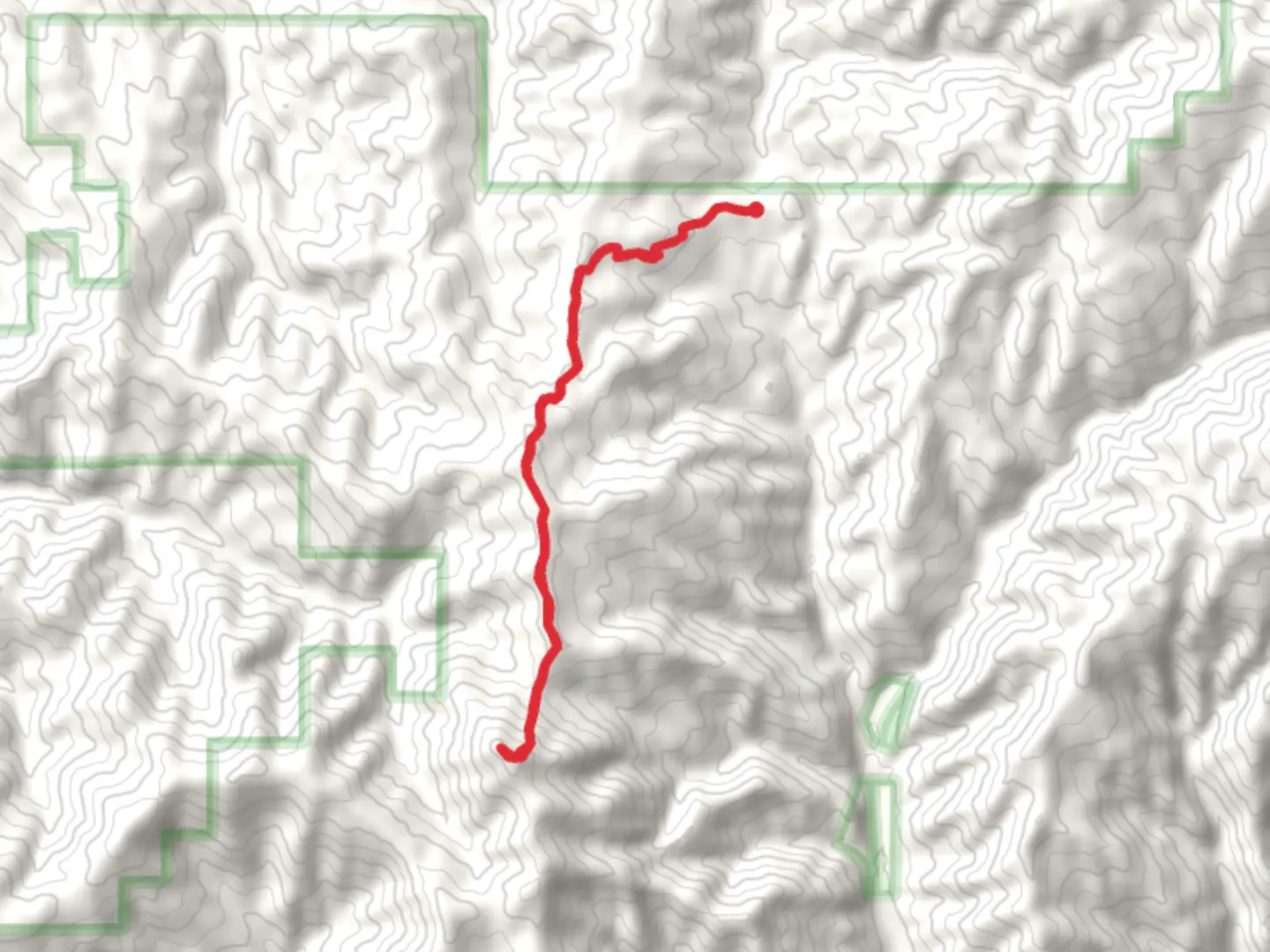
Starting near Boise County, Idaho, the Mount Heinen Out and Back trail offers a rewarding 14 km (approximately 8.7 miles) hike with an elevation gain of around 700 meters (2,297 feet). This medium-difficulty trail is perfect for those looking to challenge themselves while enjoying the natural beauty of the region.
Getting There To reach the trailhead, you can drive from Boise, Idaho. Head north on ID-21 N for about 30 miles (48 km) until you reach the turnoff near the Arrowrock Reservoir. The nearest significant landmark is the Arrowrock Dam, which is a good reference point. Public transport options are limited, so driving is the most reliable way to get there. Ensure your vehicle is suitable for gravel roads, as the last stretch to the trailhead can be a bit rough.
Trail Overview The trail begins with a gradual ascent through a mixed forest of pine and fir trees. Early on, you'll cross a small creek, which can be a refreshing spot to take a quick break. As you continue, the trail becomes steeper, offering increasingly expansive views of the surrounding Boise National Forest.
Key Landmarks and Points of Interest - **Arrowrock Reservoir**: Visible from various points along the trail, this reservoir is a significant landmark and provides a stunning backdrop for your hike. - **Wildlife**: Keep an eye out for local wildlife, including deer, elk, and various bird species. The area is also known for its wildflowers, especially in the spring and early summer. - **Historical Significance**: The region around Boise County has a rich history, particularly related to the Gold Rush era. While the trail itself doesn't pass through any historical sites, the surrounding area is steeped in history, with old mining towns and relics scattered throughout the forest.
Elevation and Terrain The first 3 km (1.9 miles) of the trail are relatively gentle, with an elevation gain of about 150 meters (492 feet). The next section is more challenging, with a steeper climb over the next 4 km (2.5 miles), gaining an additional 400 meters (1,312 feet) in elevation. The final stretch to the summit of Mount Heinen is the most demanding, with a rocky and uneven path that requires careful footing.
Navigation Given the trail's moderate difficulty and some potentially confusing junctions, it's advisable to use a reliable navigation tool like HiiKER to stay on track. The app provides detailed maps and real-time GPS tracking, which can be invaluable, especially in the more remote sections of the trail.
Preparation and Safety - **Water**: There are limited water sources along the trail, so bring enough water for the entire hike. - **Weather**: The weather can change rapidly in this region, so pack layers and be prepared for sudden shifts in temperature. - **Footwear**: Sturdy hiking boots are recommended due to the rocky and uneven terrain, especially near the summit. - **Wildlife Precautions**: While encounters with large wildlife are rare, it's always good practice to carry bear spray and make noise to avoid surprising any animals.
Final Ascent and Views The final push to the summit of Mount Heinen is steep but worth the effort. Once at the top, you'll be rewarded with panoramic views of the Boise National Forest, the Arrowrock Reservoir, and the distant peaks of the Sawtooth Range. This is a perfect spot to rest, take photos, and enjoy a well-deserved snack before beginning your descent.
The return journey follows the same path, allowing you to enjoy the views from a different perspective as you make your way back to the trailhead.
What to expect?
Activity types
Comments and Reviews
User comments, reviews and discussions about the Mount Heinen Out and Back, Idaho.
4.33
average rating out of 5
30 rating(s)
