Download
Preview
Add to list
More
6.0 km
~1 hrs 30 min
187 m
Loop
“The Steinbachtal and Unglücksberg Loop offers lush forests, historical intrigue, and moderate hiking challenges.”
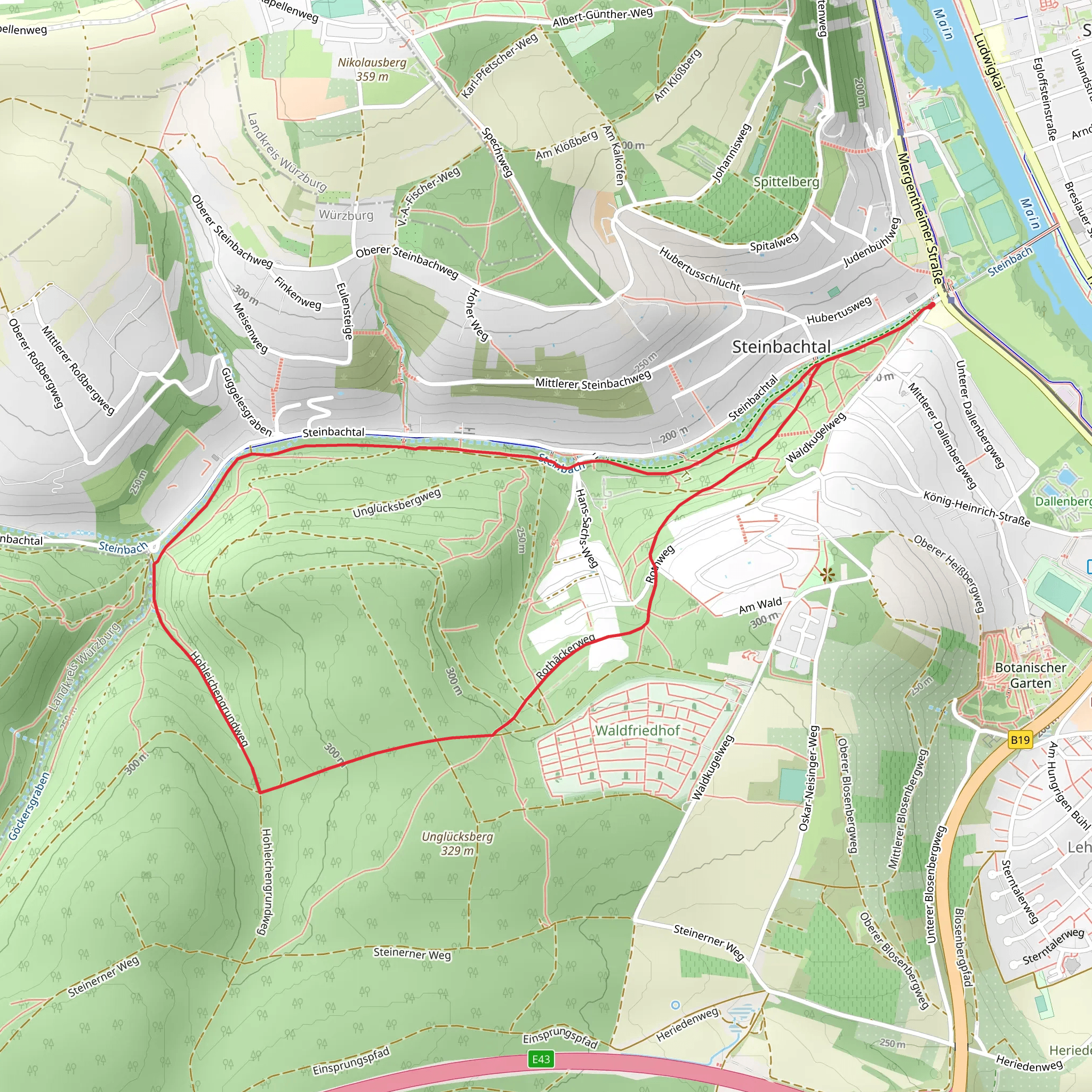
Starting near Würzburg, Germany, the Steinbachtal and Unglücksberg Loop is a delightful 6 km (approximately 3.7 miles) trail with an elevation gain of around 100 meters (328 feet). This loop trail is rated as medium difficulty, making it suitable for moderately experienced hikers.
Getting There To reach the trailhead, you can drive or use public transport. If driving, head towards Würzburg and look for parking near the Steinbachtal area. For those using public transport, take a train or bus to Würzburg Hauptbahnhof (main station). From there, local buses can take you closer to the trailhead; the nearest significant landmark is the Steinbachtal Nature Reserve.
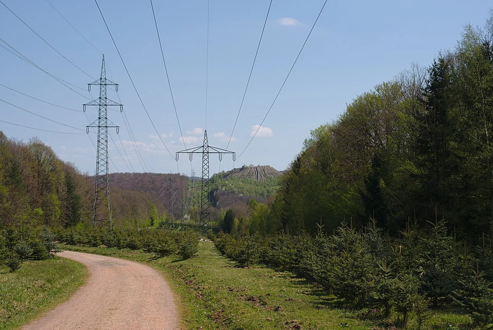
Trail Overview The trail begins in the lush Steinbachtal valley, known for its serene environment and rich biodiversity. As you start your hike, you'll be surrounded by dense forests, primarily consisting of beech and oak trees. The initial part of the trail is relatively flat, making it a good warm-up for the more challenging sections ahead.
Key Sections and Landmarks #### Steinbachtal Valley The first 2 km (1.2 miles) of the trail meander through the Steinbachtal valley. This area is a haven for birdwatchers, with species like the European robin and the black woodpecker frequently spotted. Keep an eye out for small mammals such as red squirrels and hedgehogs.
#### Unglücksberg Ascent After the initial flat section, the trail begins to ascend towards Unglücksberg. This part of the hike covers approximately 1.5 km (0.9 miles) and includes the majority of the elevation gain. The climb is steady but manageable, with several switchbacks to ease the ascent. Along the way, you'll pass through mixed forests and might catch glimpses of deer and wild boar.
#### Historical Significance Unglücksberg, translating to "Misfortune Mountain," has a storied past. Local legends speak of medieval battles and ancient settlements in this area. As you reach the summit, you'll find remnants of old fortifications and possibly some archaeological sites. The views from the top are breathtaking, offering panoramic vistas of the surrounding countryside and the city of Würzburg in the distance.
Descending Back The descent from Unglücksberg is more gradual, covering about 2.5 km (1.5 miles). This section of the trail loops back towards the Steinbachtal valley. The path is well-marked but can be slippery after rain, so proper footwear is essential. You'll pass through more open areas, where wildflowers bloom in abundance during the spring and summer months.
Navigation and Safety For navigation, it's highly recommended to use the HiiKER app, which provides detailed maps and real-time updates. The trail is well-marked, but having a reliable navigation tool ensures you stay on track. Always carry enough water, especially during warmer months, and be prepared for sudden weather changes.
Wildlife and Flora Throughout the hike, you'll encounter a variety of flora and fauna. The diverse ecosystem supports a range of plant species, from wild garlic in the spring to vibrant autumn foliage. Wildlife is abundant, so keep your camera ready for unexpected encounters.
Final Stretch As you complete the loop and return to the starting point, take a moment to enjoy the tranquility of the Steinbachtal valley once more. The entire hike should take around 2-3 hours, depending on your pace and the time spent exploring the historical sites and natural beauty along the way.
This trail offers a perfect blend of natural beauty, moderate physical challenge, and historical intrigue, making it a must-visit for hikers in the Würzburg area.
What to expect?
Activity types
Comments and Reviews
User comments, reviews and discussions about the Steinbachtal and Unglücksberg Loop, Germany.
4.67
average rating out of 5
3 rating(s)

