Download
Preview
Add to list
More
7.4 km
~1 hrs 40 min
112 m
Loop
“The Auringer Rundwanderweg offers a scenic 7 km loop with varied landscapes, historical sites, and panoramic views.”
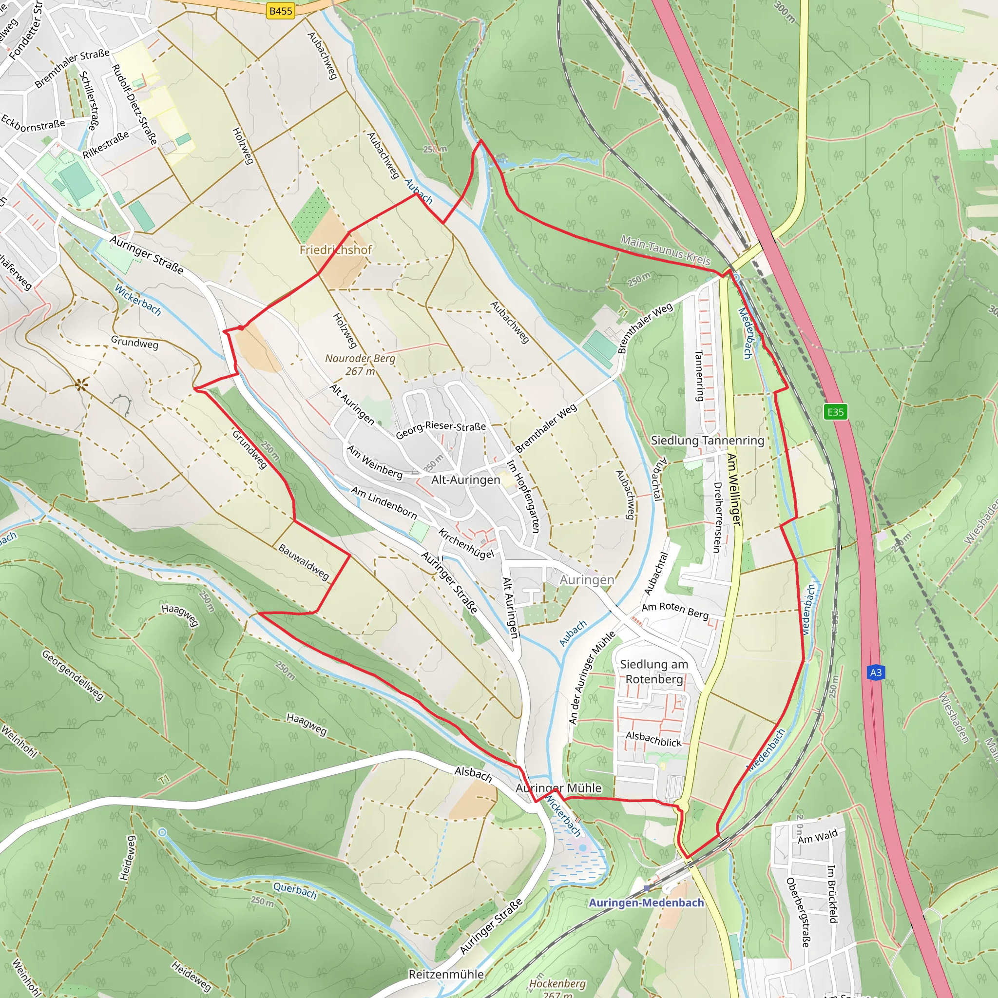
Starting near Wiesbaden, Germany, the Auringer Rundwanderweg is a delightful loop trail that spans approximately 7 km (4.35 miles) with an elevation gain of around 100 meters (328 feet). This trail offers a medium difficulty rating, making it suitable for moderately experienced hikers.
Getting There To reach the trailhead, you can either drive or use public transportation. If you're driving, head towards the town of Auringen, which is a short distance from Wiesbaden. There are parking facilities available near the starting point. For those using public transport, take a train or bus to Wiesbaden and then transfer to a local bus heading towards Auringen. The nearest significant landmark to the trailhead is the Auringen-Medenbach train station.
Trail Navigation For navigation, it's highly recommended to use the HiiKER app, which provides detailed maps and real-time updates. The trail is well-marked, but having a reliable navigation tool will enhance your hiking experience.
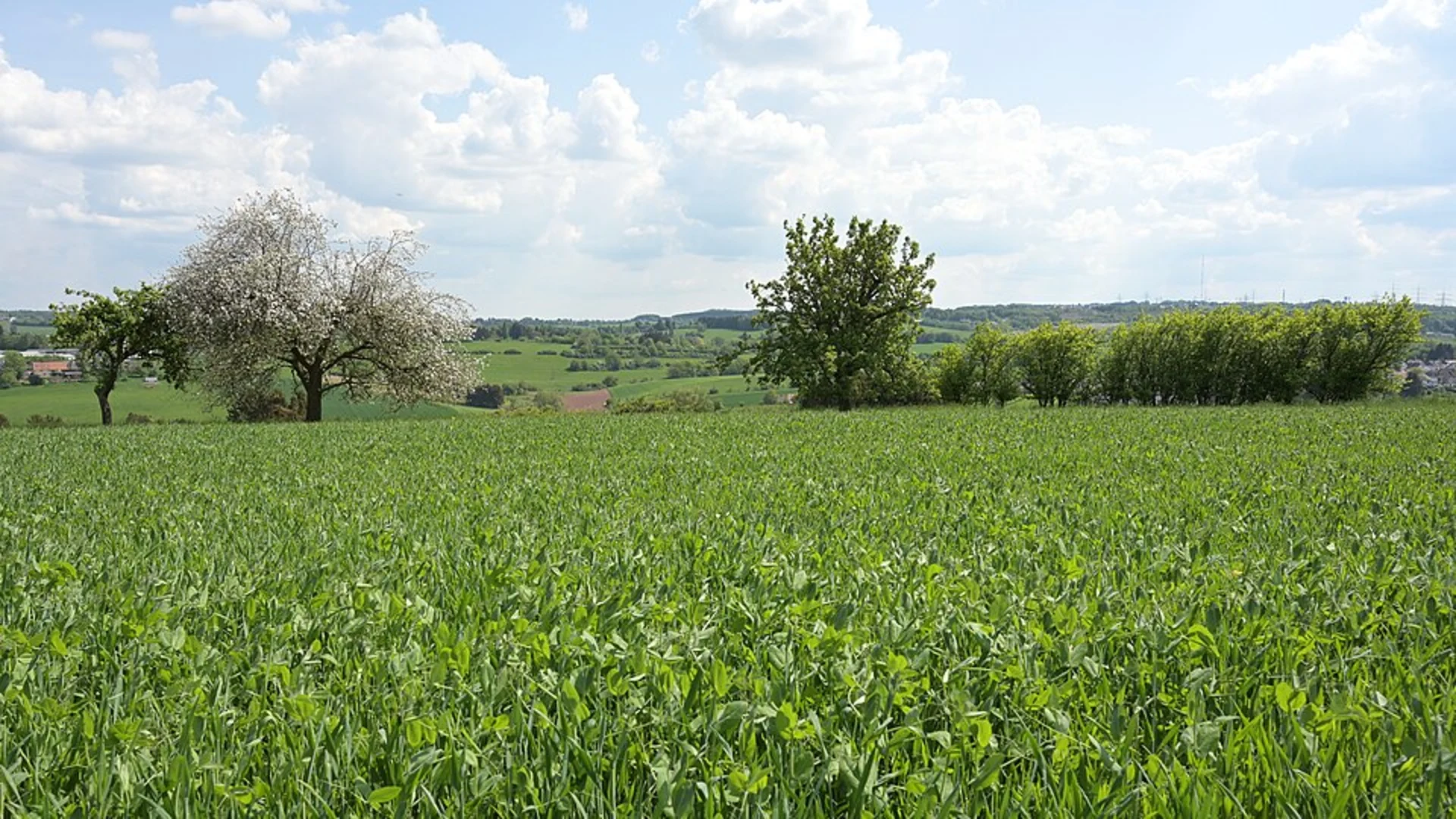
Trail Highlights As you embark on the Auringer Rundwanderweg, you'll traverse a variety of landscapes, including dense forests, open meadows, and charming rural areas. The trail is particularly beautiful in spring and autumn when the foliage is vibrant.
#### Flora and Fauna The trail is home to a diverse range of flora and fauna. Keep an eye out for native wildlife such as deer, foxes, and a variety of bird species. The forested sections are rich with oak, beech, and pine trees, providing ample shade and a serene atmosphere.
#### Historical Significance The region around Wiesbaden has a rich history dating back to Roman times. While hiking, you may come across remnants of ancient Roman roads and settlements. The area was historically significant for its thermal springs, which were highly valued by the Romans.
Points of Interest - **Auringen Village**: Approximately 2 km (1.24 miles) into the hike, you'll pass through the quaint village of Auringen. This is a great spot to take a short break and explore the local architecture and perhaps grab a snack. - **Panoramic Viewpoint**: Around the 4 km (2.48 miles) mark, the trail ascends to a viewpoint offering panoramic views of the surrounding countryside. This is an excellent spot for photography and to take in the natural beauty of the region. - **Forest Chapel**: Near the 5.5 km (3.42 miles) point, you'll find a small, picturesque chapel nestled in the forest. This chapel is a peaceful place to rest and reflect.
Trail Conditions The trail is generally well-maintained, but be prepared for some uneven terrain and occasional muddy patches, especially after rain. Good hiking boots are recommended. There are a few steep sections, but they are manageable with moderate effort.
Safety Tips - **Weather**: Check the weather forecast before you set out. The trail can become slippery in wet conditions. - **Hydration**: Carry enough water, especially during the warmer months. - **Wildlife**: While encounters with wildlife are rare, it's always good to be cautious and respectful of their habitat.
By following these guidelines and being well-prepared, you'll have a rewarding experience hiking the Auringer Rundwanderweg.
What to expect?
Activity types
Comments and Reviews
User comments, reviews and discussions about the Auringer Rundwanderweg, Germany.
4.33
average rating out of 5
3 rating(s)

