Download
Preview
Add to list
More
12.3 km
~3 hrs 1 min
342 m
Loop
“Explore the diverse landscapes and rich history of the Mallendarer Bachtal Loop, perfect for moderate hikers.”
Starting near Westerwaldkreis, Germany, the Mallendarer Bachtal Loop is a scenic 12 km (7.5 miles) trail with an elevation gain of approximately 300 meters (984 feet). This loop trail is rated as medium difficulty, making it suitable for moderately experienced hikers.
Getting There To reach the trailhead, you can drive or use public transport. If driving, set your GPS to the nearest known address: Bahnhofstraße 1, 56410 Montabaur, Germany. For those using public transport, take a train to Montabaur Station, which is well-connected to major cities like Frankfurt and Cologne. From Montabaur Station, you can catch a local bus or taxi to the trailhead.
Trail Overview The trail begins with a gentle ascent through mixed forests, offering a serene start to your hike. As you progress, you'll encounter a variety of landscapes, including open meadows, dense woodlands, and babbling brooks. The trail is well-marked, but it's advisable to use HiiKER for navigation to ensure you stay on track.
Landmarks and Points of Interest Around the 3 km (1.9 miles) mark, you'll come across the historic ruins of a medieval watchtower. This site offers a glimpse into the region's past and provides a great spot for a short break. Continuing on, you'll reach a picturesque wooden bridge crossing the Mallendarer Bach stream at approximately 5 km (3.1 miles). This is an ideal location for some nature photography or a quick snack.
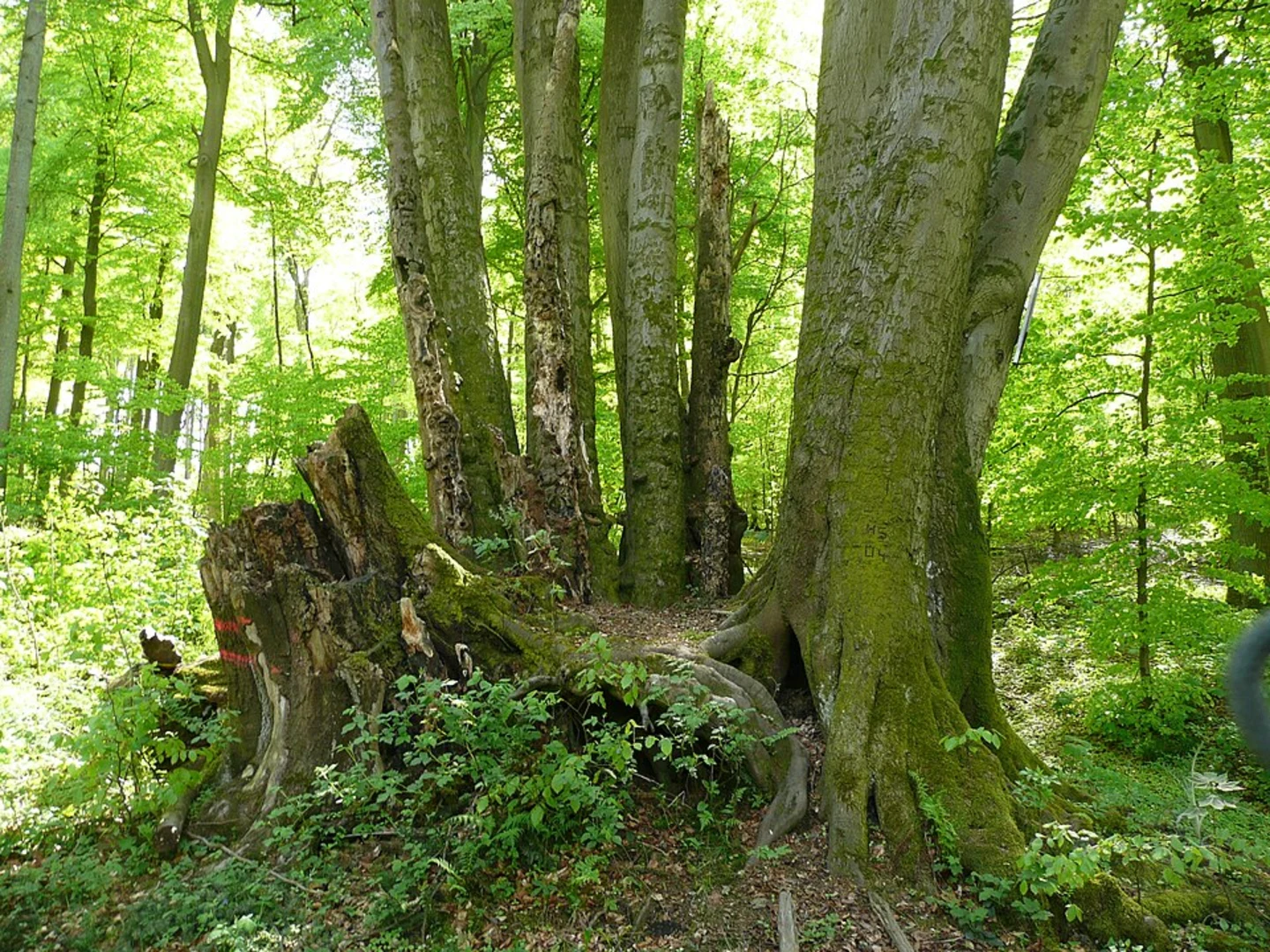
Flora and Fauna The Mallendarer Bachtal Loop is rich in biodiversity. Keep an eye out for native wildlife such as deer, foxes, and a variety of bird species. The trail is particularly beautiful in spring and autumn when the foliage is at its most vibrant. Wildflowers are abundant in the meadows, adding a splash of color to your hike.
Elevation and Terrain The trail features a mix of flat sections and moderate inclines. The most challenging part is a steady climb that begins around the 7 km (4.3 miles) mark, gaining about 150 meters (492 feet) in elevation over 2 km (1.2 miles). This section can be a bit strenuous, so take your time and enjoy the surrounding views.
Historical Significance The Westerwald region has a rich history dating back to Roman times. The trail itself passes through areas that were once part of ancient trade routes. The medieval watchtower ruins you encounter are remnants of the region's strategic importance during the Middle Ages.
Final Stretch As you near the end of the loop, the trail descends gently back towards the starting point. This final section offers panoramic views of the surrounding countryside, making it a perfect way to conclude your hike.
Whether you're a seasoned hiker or someone looking to explore the natural beauty and historical richness of the Westerwald region, the Mallendarer Bachtal Loop offers a rewarding experience.

What to expect?
Activity types
Comments and Reviews
User comments, reviews and discussions about the Mallendarer Bachtal Loop, Germany.
4.0
average rating out of 5
1 rating(s)