Rachelsberg and Dietzenroeder Stein via Werra Burgen Steig
Download
Preview
Add to list
More
13.3 km
~3 hrs 22 min
435 m
Loop
“Explore 13 km of lush forests, historical sites, and panoramic vistas on the Werra Burgen Steig trail.”
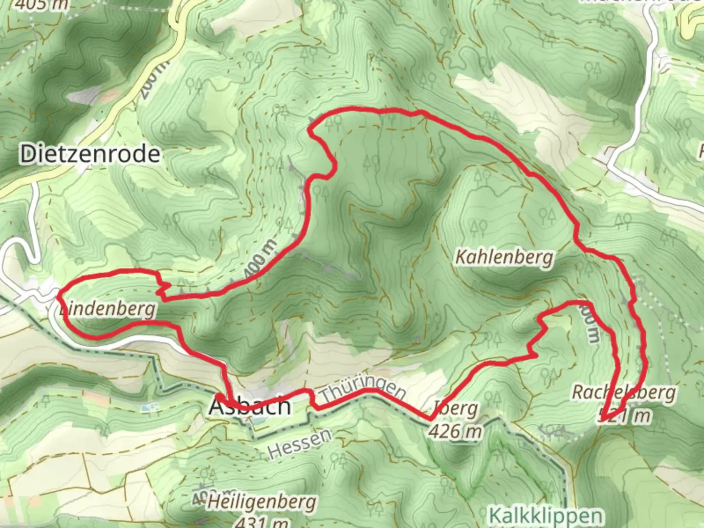
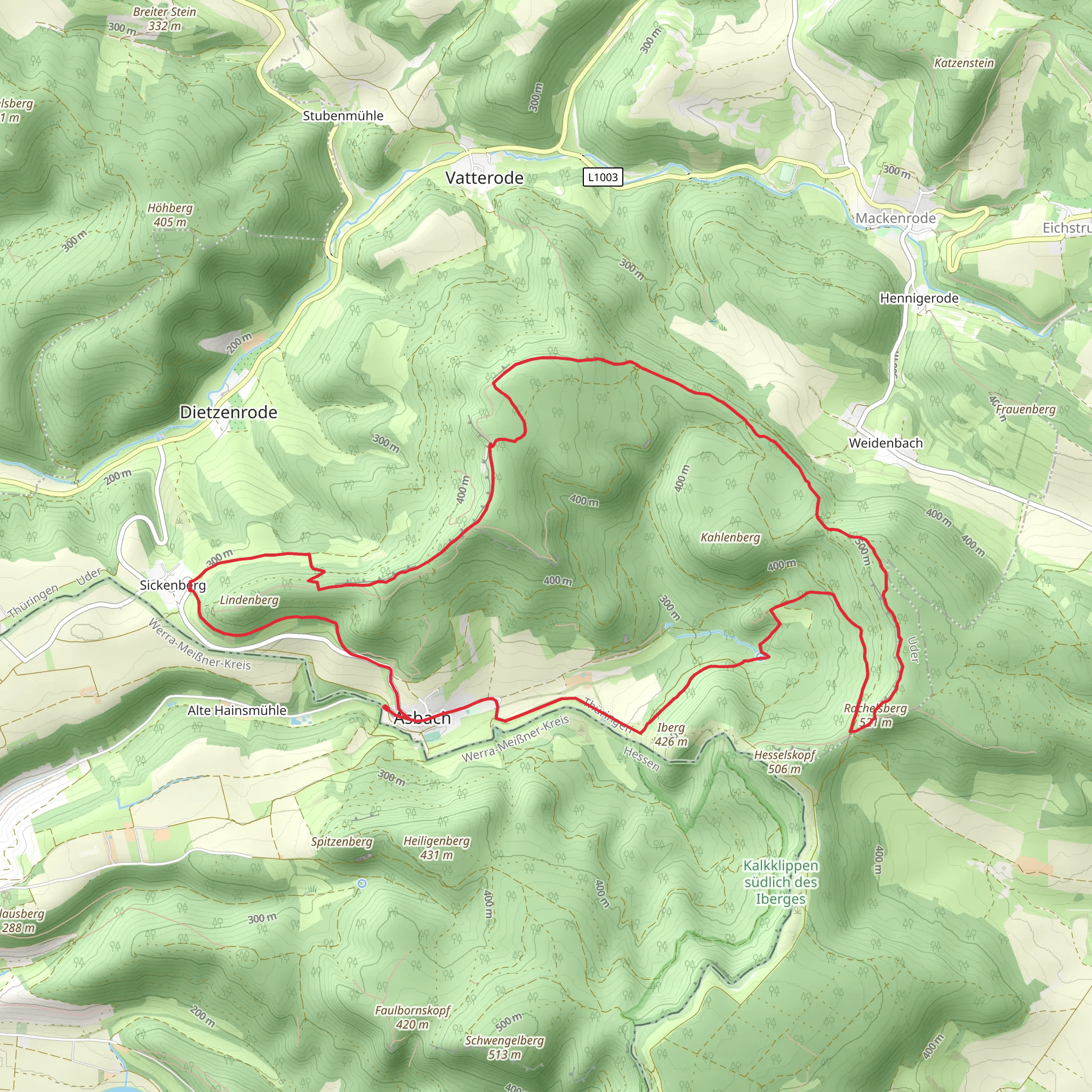
Starting your adventure near Werra-Meißner-Kreis, Germany, the Rachelsberg and Dietzenroeder Stein via Werra Burgen Steig trail offers a captivating 13 km (8 miles) loop with an elevation gain of approximately 400 meters (1,312 feet). This medium-difficulty trail is perfect for those looking to immerse themselves in the natural beauty and historical richness of the region.
Getting There To reach the trailhead, you can either drive or use public transportation. If driving, set your GPS to the nearest significant landmark, which is the town of Eschwege. From Eschwege, follow local roads to the trailhead near Werra-Meißner-Kreis. For those using public transport, take a train to Eschwege and then a local bus or taxi to the trailhead.
Trail Overview The trail begins with a gentle ascent through lush forests, offering a serene start to your hike. As you progress, the path becomes steeper, leading you to the first significant landmark, Rachelsberg. This section covers approximately 4 km (2.5 miles) with an elevation gain of about 200 meters (656 feet). The summit of Rachelsberg provides stunning panoramic views of the surrounding countryside, making it a perfect spot for a short break and some photography.
Historical Significance The region is steeped in history, with the Werra Burgen Steig trail itself being part of a network of paths that connect various medieval castles and fortresses. As you hike, you'll come across remnants of ancient walls and fortifications, offering a glimpse into the area's storied past. The trail's historical significance adds an enriching layer to your hiking experience.
Flora and Fauna The trail is a haven for nature enthusiasts. The dense forests are home to a variety of wildlife, including deer, foxes, and numerous bird species. Keep an eye out for the vibrant wildflowers that dot the landscape, especially in the spring and summer months. The diverse flora and fauna make this trail a delight for both casual hikers and avid naturalists.
Dietzenroeder Stein After descending from Rachelsberg, the trail leads you towards Dietzenroeder Stein, another highlight of this loop. This section is about 5 km (3.1 miles) long with a moderate elevation gain of 150 meters (492 feet). Dietzenroeder Stein is a striking rock formation that offers another excellent vantage point. The geological features here are fascinating, with layers of rock that tell a story millions of years in the making.
Final Stretch The final 4 km (2.5 miles) of the trail take you through a mix of open meadows and forested areas, gradually descending back to the trailhead. This section is relatively easy, allowing you to relax and enjoy the scenery as you complete your loop.
Navigation For navigation, it's highly recommended to use HiiKER, which provides detailed maps and real-time updates to ensure you stay on the right path. The trail is well-marked, but having a reliable navigation tool can enhance your hiking experience and provide peace of mind.
This trail offers a perfect blend of natural beauty, historical intrigue, and moderate physical challenge, making it a must-visit for any hiking enthusiast.
What to expect?
Activity types
Comments and Reviews
User comments, reviews and discussions about the Rachelsberg and Dietzenroeder Stein via Werra Burgen Steig, Germany.
4.5
average rating out of 5
2 rating(s)
