Eisberg, Burg Reichenbach and Schlossberg via Premiumweg Reichenbach and Grimmsteig
Download
Preview
Add to list
More
13.4 km
~3 hrs 22 min
419 m
Loop
“This scenic 13 km loop near Werra-Meißner-Kreis blends forest trails, medieval ruins, and stunning valley views.”
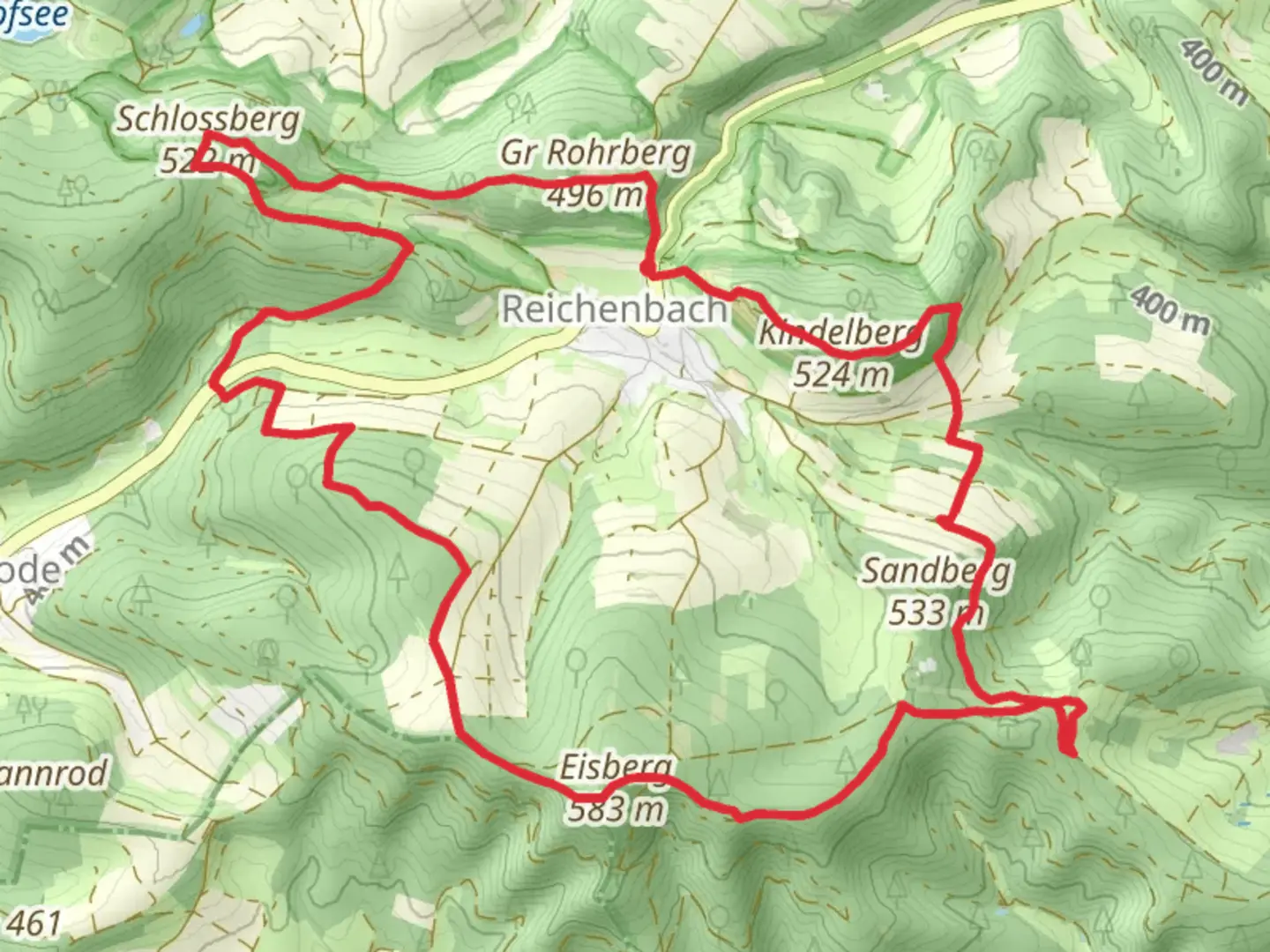
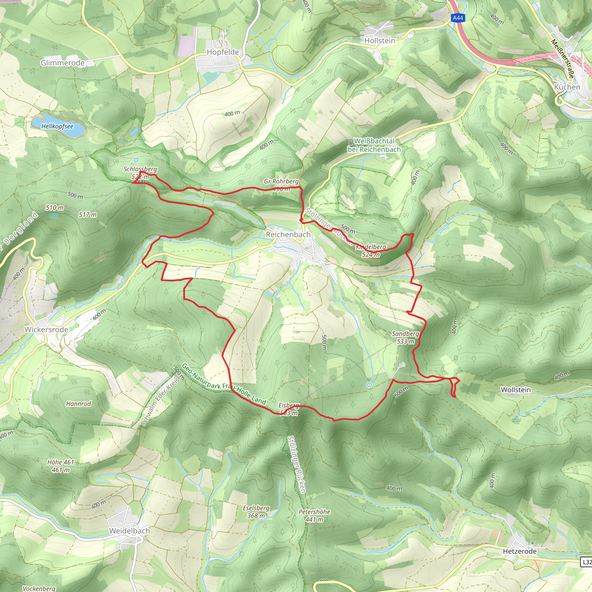
Starting near Werra-Meißner-Kreis, Germany, this 13 km (8 miles) loop trail offers a moderate challenge with an elevation gain of around 400 meters (1,312 feet). The trailhead is easily accessible by car, with parking available nearby. For those using public transport, the nearest significant landmark is the town of Bad Sooden-Allendorf, which is well-connected by train and bus services. From there, a short taxi ride or local bus can bring you to the trailhead.### Initial Ascent and EisbergThe hike begins with a gradual ascent towards Eisberg. This initial climb is approximately 3 km (1.9 miles) and gains about 150 meters (492 feet) in elevation. The path is well-marked and winds through dense forest, offering a serene start to your journey. Keep an eye out for local wildlife such as deer and various bird species. The forest canopy provides ample shade, making this section pleasant even on warmer days.### Burg ReichenbachAt around the 5 km (3.1 miles) mark, you'll reach Burg Reichenbach. This medieval castle ruin is perched on a hill and offers panoramic views of the surrounding countryside. The castle dates back to the 12th century and played a significant role in regional defense during the Middle Ages. Take some time to explore the ruins and imagine the historical events that unfolded here. There are informational plaques that provide context and history, making it a great educational stop.### Descent and SchlossbergContinuing from Burg Reichenbach, the trail descends slightly before beginning the climb to Schlossberg. This section is about 4 km (2.5 miles) and includes an elevation gain of approximately 200 meters (656 feet). The path here is a mix of forest trails and open meadows, offering a variety of landscapes. Schlossberg itself is another historical site, featuring remnants of ancient fortifications and offering stunning views of the Werra Valley.### Return LoopThe final 4 km (2.5 miles) of the trail loop back towards the starting point. This section is mostly downhill, making for a relaxing end to your hike. The path meanders through picturesque villages and farmland, providing a glimpse into rural life in this part of Germany. You'll pass by traditional half-timbered houses and may even encounter local farmers tending to their fields.### Navigation and SafetyFor navigation, it's highly recommended to use the HiiKER app, which provides detailed maps and real-time updates. The trail is generally well-marked, but having a reliable navigation tool ensures you stay on track. Be sure to wear sturdy hiking boots, as some sections can be rocky and uneven. Carry enough water and snacks, especially if you plan to take extended breaks at the historical sites.### Flora and FaunaThe trail is rich in biodiversity. In spring and summer, the meadows are adorned with wildflowers, while the forests are home to a variety of trees including oak, beech, and pine. Wildlife sightings are common, so keep your camera ready for deer, foxes, and a plethora of bird species.### Historical SignificanceThe region is steeped in history, from the medieval castles to ancient fortifications. The trail offers a unique blend of natural beauty and historical intrigue, making it a rewarding experience for both nature lovers and history buffs. The castles and ruins you encounter are not just remnants of the past but are integral to understanding the cultural heritage of the area.This trail offers a well-rounded hiking experience with its mix of natural beauty, historical landmarks, and moderate physical challenge. Whether you're a seasoned hiker or a history enthusiast, this trail has something to offer.
What to expect?
Activity types
Comments and Reviews
User comments, reviews and discussions about the Eisberg, Burg Reichenbach and Schlossberg via Premiumweg Reichenbach and Grimmsteig, Germany.
4.5
average rating out of 5
2 rating(s)
