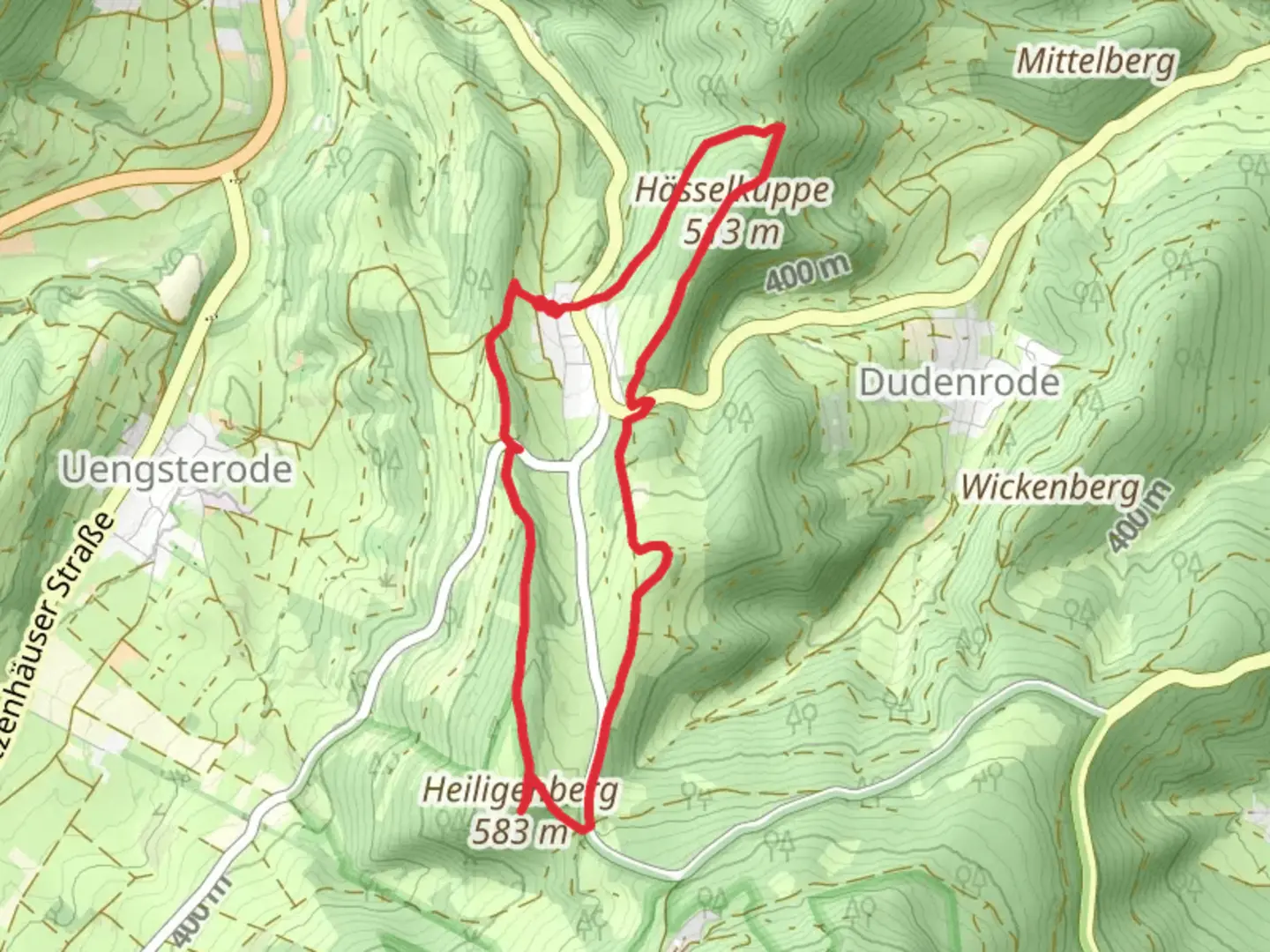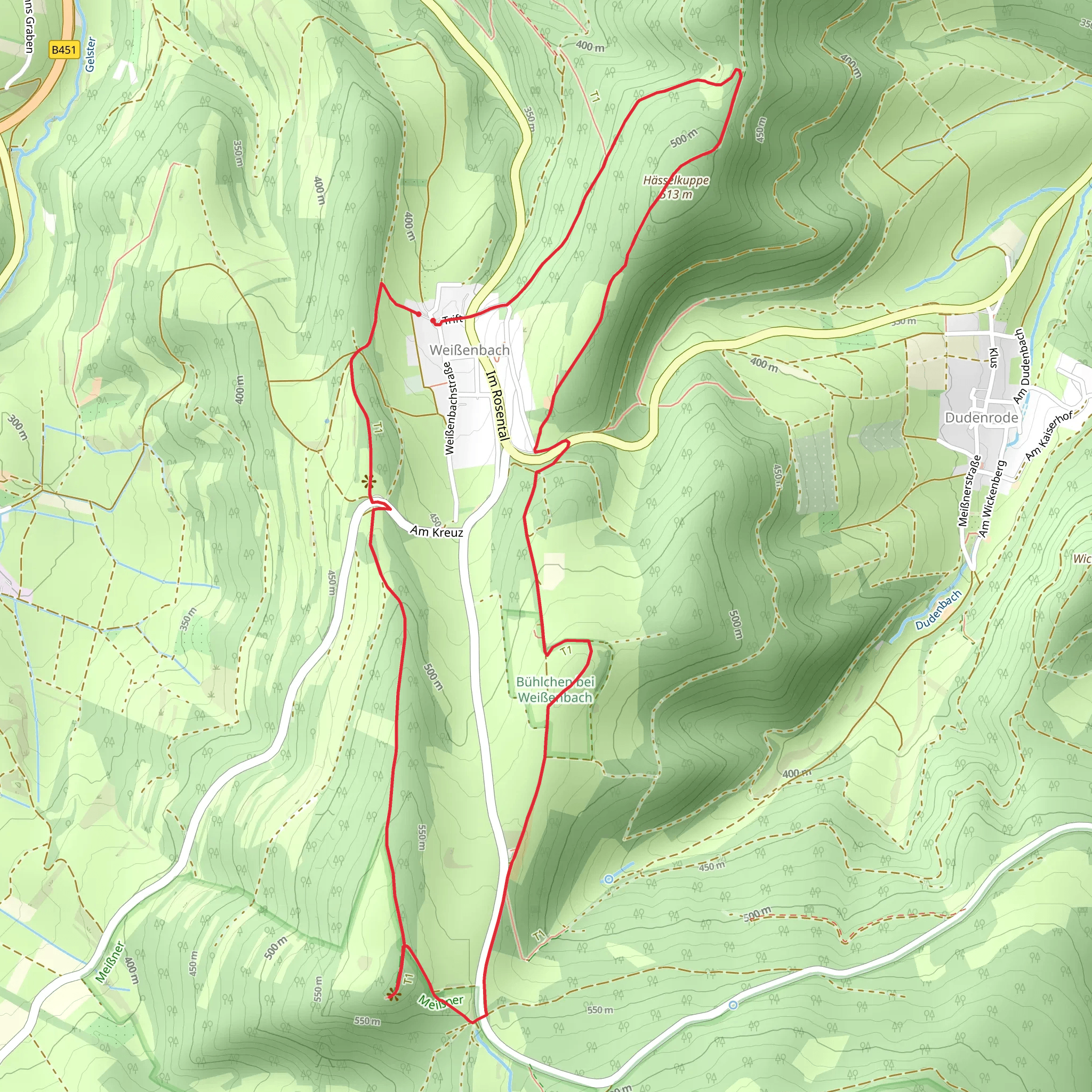
Aussuchtspunkt Heilgenbern and Haesselkuppe via Rundweg Heiligenberg and Frau Holle Pfad
Download
Preview
Add to list
More
7.4 km
~1 hrs 52 min
244 m
Loop
“A scenic 7 km loop trail near Heiligenberg, blending lush forests, panoramic views, and historical landmarks.”
Starting your adventure near Werra-Meißner-Kreis, Germany, this 7 km (4.3 miles) loop trail offers a moderate challenge with an elevation gain of approximately 200 meters (656 feet). The trailhead is conveniently accessible by car or public transport. If driving, you can park near the village of Heiligenberg. For those using public transport, the nearest significant landmark is the train station in Eschwege, from where you can take a local bus to Heiligenberg.
Trail Overview
The trail begins with a gentle ascent through lush deciduous forests, where you can expect to see a variety of native flora and fauna. Keep an eye out for deer and various bird species that inhabit this region. The initial part of the trail is well-marked and follows a dirt path that gradually becomes steeper as you approach the Aussuchtspunkt Heilgenbern viewpoint.
Aussuchtspunkt Heilgenbern
At approximately 2 km (1.2 miles) into the hike, you'll reach Aussuchtspunkt Heilgenbern. This viewpoint offers panoramic views of the surrounding countryside, including the Werra Valley and the distant peaks of the Thuringian Forest. It's an ideal spot for a short break and some photography.
Haesselkuppe
Continuing on, the trail leads you towards Haesselkuppe, another significant viewpoint. This section involves a bit more climbing, but the effort is well worth it. At around the 4 km (2.5 miles) mark, you'll find yourself at the summit of Haesselkuppe. Here, you can enjoy sweeping views and perhaps spot some of the region's unique geological formations.
Historical Significance
The region is steeped in history, with the Frau Holle Pfad being particularly noteworthy. This path is named after Frau Holle, a figure from German folklore who is said to inhabit the area. The trail passes by several ancient sites, including old boundary stones and remnants of medieval settlements. These landmarks offer a glimpse into the area's rich cultural heritage.
Navigation and Safety
The trail is well-marked, but it's always a good idea to have a reliable navigation tool. HiiKER is recommended for its detailed maps and real-time updates. The terrain can be uneven, so sturdy hiking boots are advisable. Also, be prepared for changing weather conditions, as the region can be unpredictable.
Flora and Fauna
As you descend back towards the trailhead, you'll pass through mixed forests and open meadows. This part of the trail is particularly beautiful in spring and autumn when the foliage is at its most vibrant. Look out for wildflowers, mushrooms, and small mammals like foxes and badgers.
Returning to the Trailhead
The final stretch of the trail is a gentle descent that brings you back to Heiligenberg. This section is less strenuous and offers a relaxing end to your hike. If you have time, consider exploring the village of Heiligenberg, which has a few charming cafes and local shops.
This trail offers a perfect blend of natural beauty, historical intrigue, and moderate physical challenge, making it a rewarding experience for hikers of all levels.
What to expect?
Activity types
Comments and Reviews
User comments, reviews and discussions about the Aussuchtspunkt Heilgenbern and Haesselkuppe via Rundweg Heiligenberg and Frau Holle Pfad, Germany.
4.67
average rating out of 5
3 rating(s)
