Download
Preview
Add to list
More
14.0 km
~3 hrs 18 min
313 m
Loop
“Explore lush forests, historical ruins, and panoramic views on the moderately challenging Himmelreich Rundweg Bad Sulza trail.”
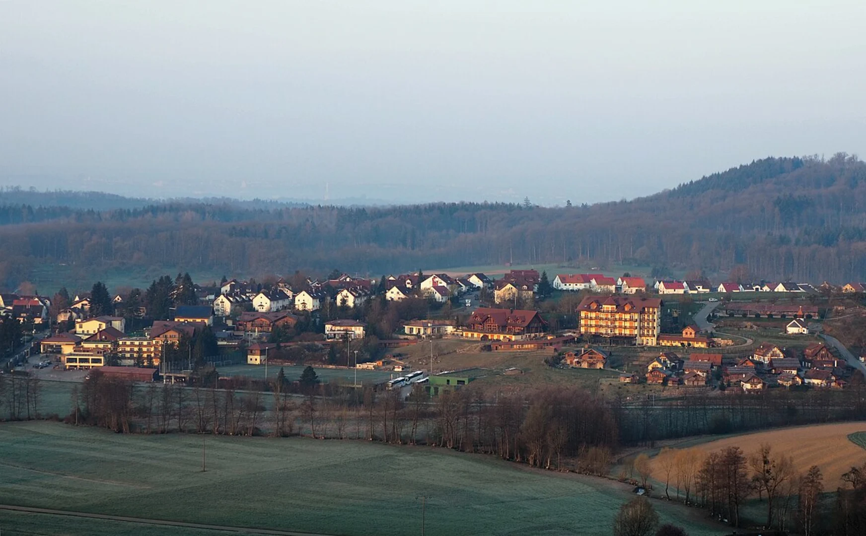
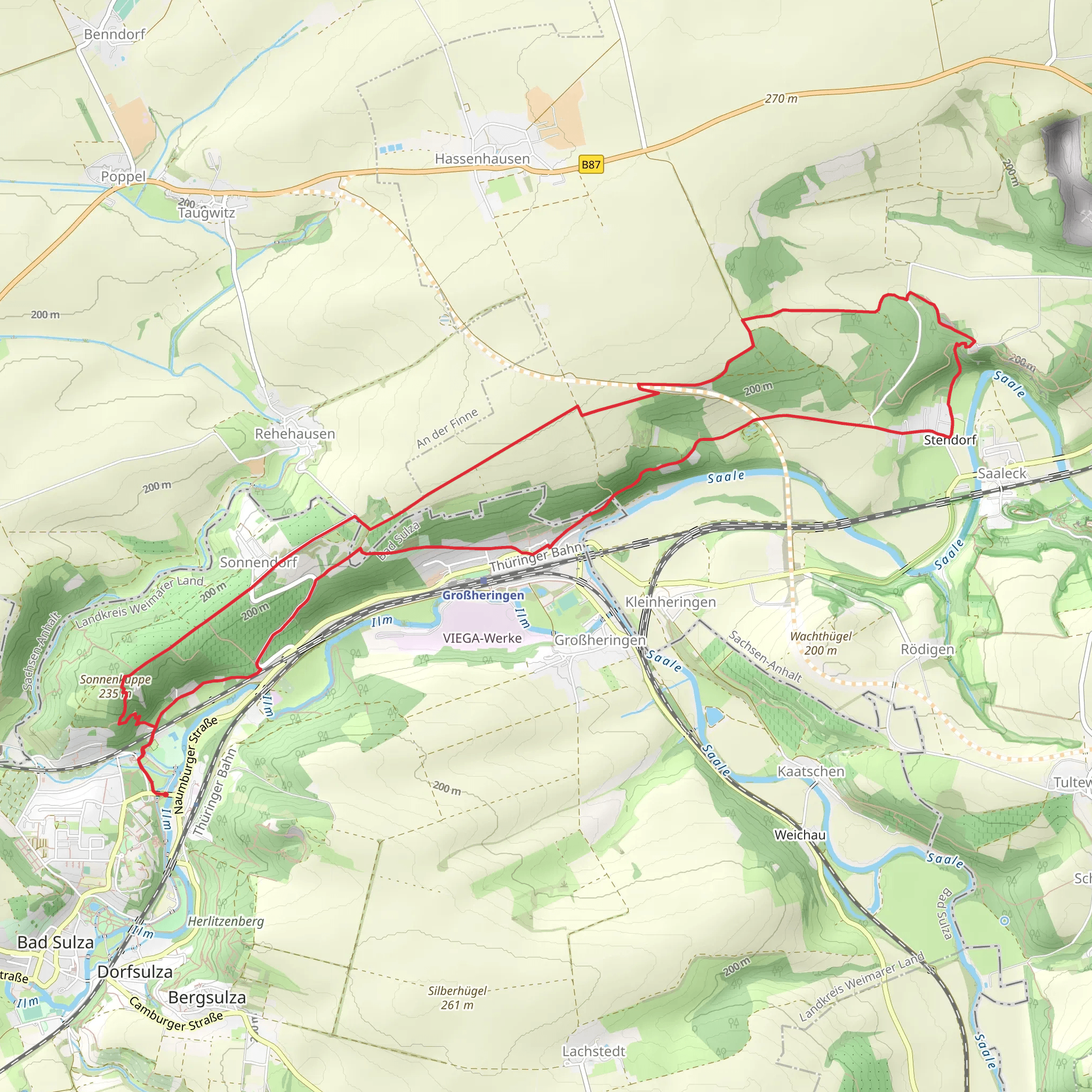
Starting near Weimarer Land in Germany, this 14 km (8.7 miles) loop trail offers a delightful mix of natural beauty and historical significance. With an elevation gain of around 300 meters (984 feet), the Himmelreich Rundweg Bad Sulza and Finnewanderweg is rated as a medium difficulty hike, making it suitable for moderately experienced hikers.### Getting There To reach the trailhead, you can either drive or use public transport. If driving, set your GPS to Bad Sulza, a small town in the Weimarer Land district. For those using public transport, take a train to Bad Sulza station, which is well-connected from major cities like Weimar and Jena. From the station, it's a short walk to the trailhead.### Trail Navigation For navigation, it's highly recommended to use the HiiKER app, which provides detailed maps and real-time updates. This will help you stay on track and make the most of your hiking experience.### Trail Highlights The trail begins near the charming town of Bad Sulza, known for its spa and wellness facilities. As you start your hike, you'll pass through lush forests and open meadows, offering a variety of landscapes to enjoy.#### Historical Significance One of the key highlights of this trail is its historical significance. The region has a rich history dating back to medieval times. You'll come across several old structures and ruins, including remnants of ancient fortifications and old farmhouses. These landmarks offer a glimpse into the past and add a layer of intrigue to your hike.### Nature and Wildlife The trail is abundant with diverse flora and fauna. Keep an eye out for native bird species and small mammals that inhabit the area. The forests are primarily composed of beech and oak trees, providing ample shade and a serene atmosphere. During spring and summer, the meadows are adorned with wildflowers, making it a picturesque setting for nature photography.### Key Landmarks - Himmelreich Viewpoint: Approximately 5 km (3.1 miles) into the hike, you'll reach the Himmelreich Viewpoint. This spot offers panoramic views of the surrounding countryside and is an excellent place to take a break and enjoy the scenery. - Finnewanderweg Section: Around the 9 km (5.6 miles) mark, you'll transition into the Finnewanderweg section of the trail. This part is slightly more challenging due to its steeper inclines but rewards you with stunning vistas and a sense of accomplishment. - Historical Ruins: Near the 12 km (7.5 miles) point, you'll encounter the ruins of an old castle. This site is perfect for history enthusiasts and provides a unique backdrop for photos.### Final Stretch As you near the end of the loop, the trail descends gently back towards Bad Sulza. This final stretch is relatively easy, allowing you to cool down and reflect on the diverse experiences the trail has offered.### Preparation Tips - Footwear: Wear sturdy hiking boots with good ankle support. - Water and Snacks: Carry enough water and some high-energy snacks. - Weather: Check the weather forecast and dress in layers. - Navigation: Use the HiiKER app for real-time navigation and updates.This trail offers a balanced mix of natural beauty, historical intrigue, and moderate physical challenge, making it a rewarding experience for any hiker.
Comments and Reviews
User comments, reviews and discussions about the Himmelreich Rundweg Bad Sulza and Finnewanderweg, Germany.
average rating out of 5
0 rating(s)

