Download
Preview
Add to list
More
6.8 km
~1 hrs 36 min
156 m
Loop
“The Rundwanderweg Dorndorf is a 7-km loop in Thuringia, perfect for moderately experienced hikers.”
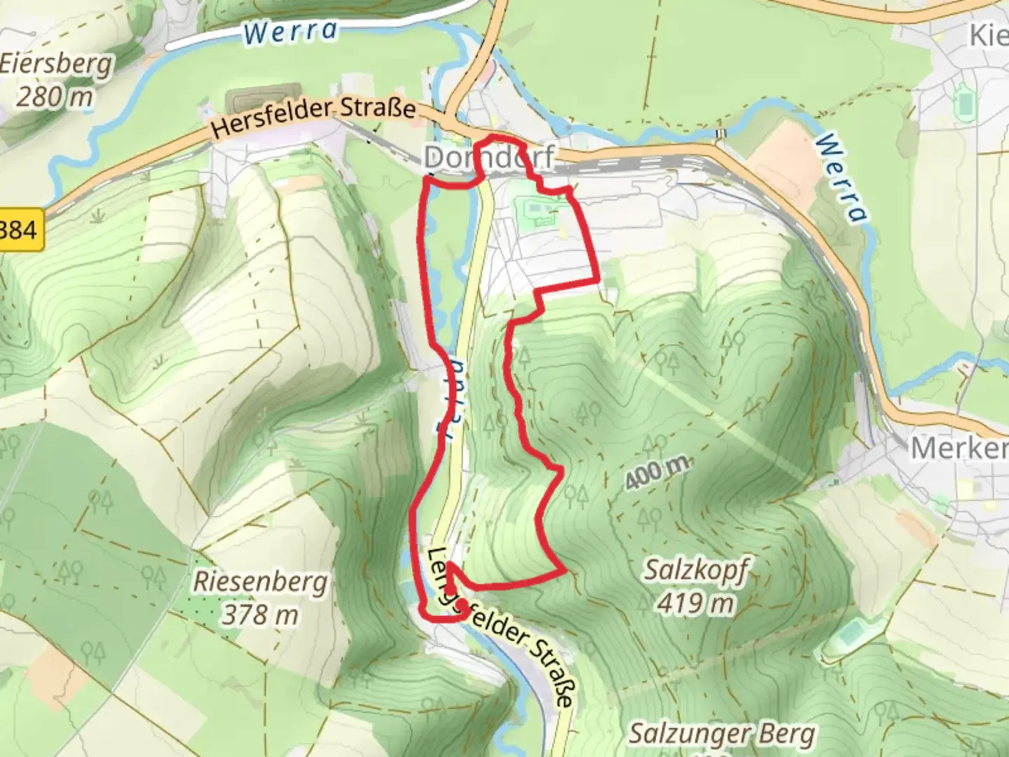
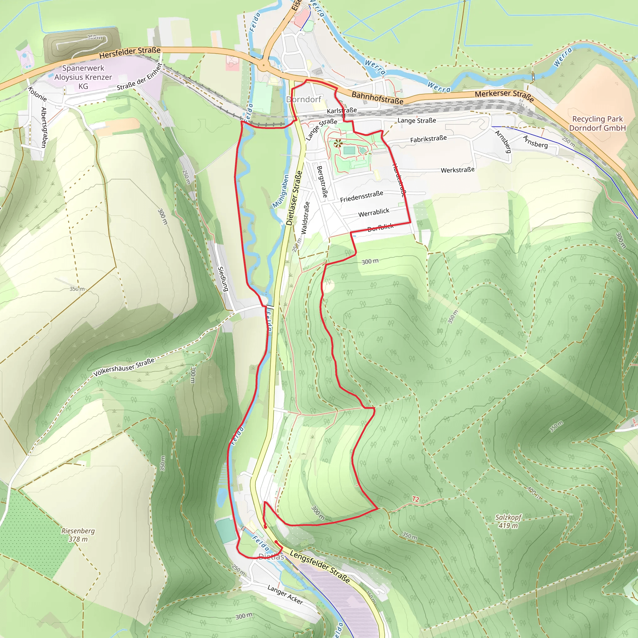
Starting near Wartburgkreis, Germany, the Rundwanderweg Dorndorf is a delightful loop trail that spans approximately 7 kilometers (4.35 miles) with an elevation gain of around 100 meters (328 feet). This trail is rated as medium difficulty, making it suitable for moderately experienced hikers.
Getting There To reach the trailhead, you can either drive or use public transport. If driving, set your GPS to Dorndorf, Wartburgkreis, Germany. For those using public transport, take a train to the nearest station in Bad Salzungen and then a local bus to Dorndorf. The trailhead is conveniently located near the village center, making it easily accessible.
Trail Navigation For navigation, it's highly recommended to use the HiiKER app, which provides detailed maps and real-time updates. The trail is well-marked, but having a reliable navigation tool will enhance your hiking experience.
Trail Highlights The Rundwanderweg Dorndorf offers a variety of landscapes and points of interest. Starting from the village, the trail quickly immerses you in the serene Thuringian countryside.
#### Nature and Wildlife As you hike, you'll traverse through lush forests and open meadows. The area is rich in biodiversity, so keep an eye out for local wildlife such as deer, foxes, and a variety of bird species. The forested sections are particularly beautiful in autumn when the foliage turns vibrant shades of red and gold.
#### Historical Significance The region around Wartburgkreis is steeped in history. One of the significant landmarks you'll encounter is the remnants of old Thuringian farmhouses, which offer a glimpse into the rural life of past centuries. Additionally, the trail passes near the historic Wartburg Castle, a UNESCO World Heritage site, although it is not directly on the trail. This castle is famous for its association with Martin Luther and the Reformation.
Points of Interest - **Dorndorf Village:** The starting and ending point of the trail, this quaint village is perfect for a pre-hike coffee or post-hike meal. - **Forest Sections:** Approximately 2 kilometers (1.24 miles) into the hike, you'll enter a dense forest area. The canopy provides ample shade, making it a pleasant section during warmer months. - **Open Meadows:** Around the 4-kilometer (2.48 miles) mark, the trail opens up into expansive meadows. This is an excellent spot for a picnic and offers panoramic views of the surrounding countryside. - **Stream Crossings:** There are a few small streams you'll cross, particularly around the 5-kilometer (3.1 miles) point. These are generally easy to navigate but can be slippery after rain, so caution is advised.
Elevation and Terrain The trail features a gentle elevation gain of about 100 meters (328 feet), spread out over the 7 kilometers (4.35 miles). The terrain is a mix of dirt paths, gravel roads, and some rocky sections. Good hiking boots are recommended to handle the varied surfaces.
Preparation Tips - **Weather:** Check the weather forecast before heading out. The trail can be muddy after rain, and certain sections may be more challenging in wet conditions. - **Gear:** Bring a daypack with water, snacks, a first-aid kit, and a map or GPS device like HiiKER. - **Clothing:** Dress in layers, as the weather can change rapidly. A waterproof jacket is advisable. - **Timing:** The hike can be completed in about 2-3 hours, but allocate extra time to enjoy the scenery and take breaks.
The Rundwanderweg Dorndorf offers a perfect blend of natural beauty, historical intrigue, and moderate physical challenge, making it a rewarding experience for any hiker.
Comments and Reviews
User comments, reviews and discussions about the Rundwanderweg Dorndorf, Germany.
4.33
average rating out of 5
3 rating(s)
