Download
Preview
Add to list
More
9.3 km
~2 hrs 9 min
181 m
Loop
“Embark on a captivating 9 km Vulkaneifel adventure through forested trails, historical ruins, and scenic waterfalls.”
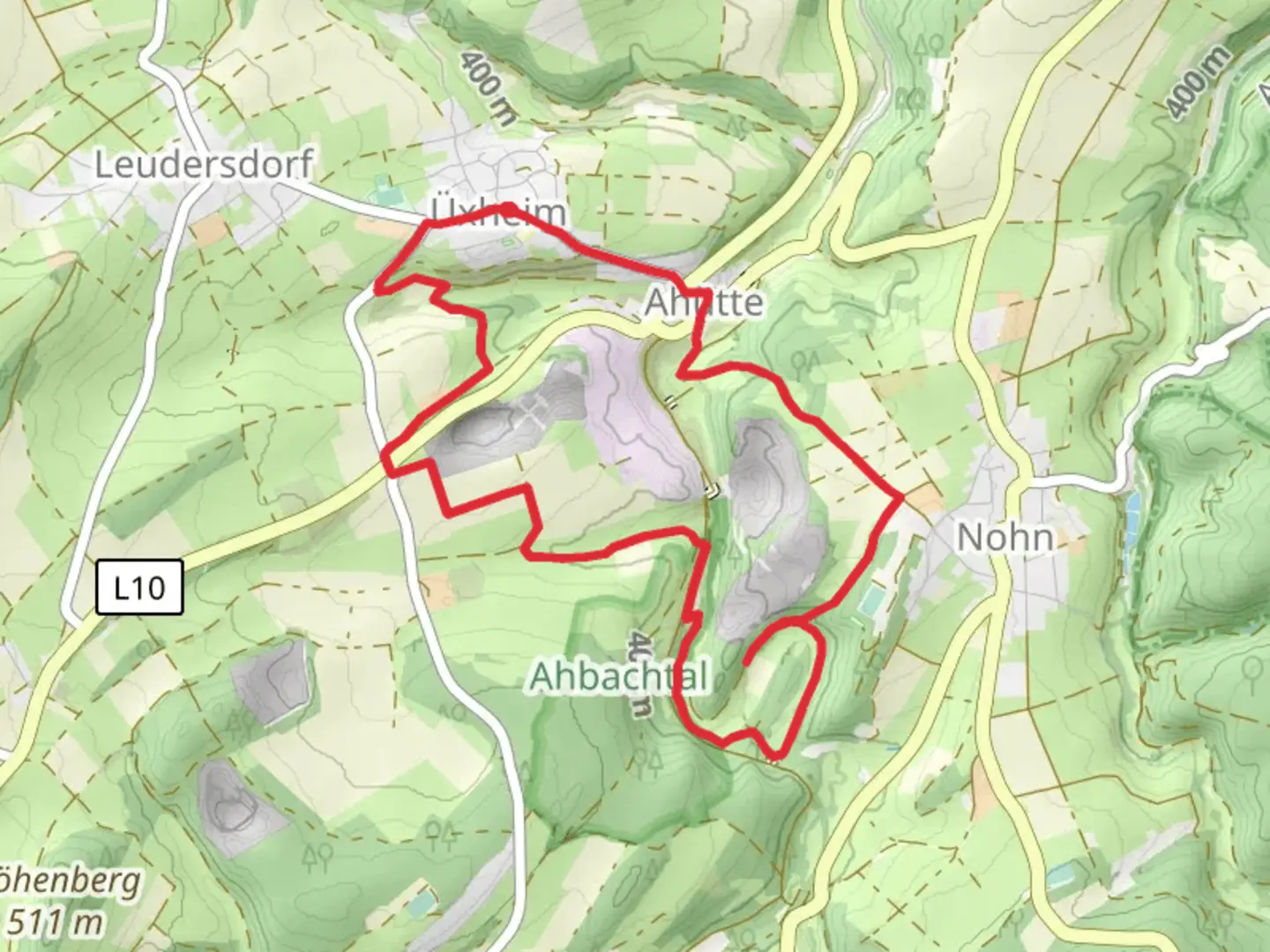
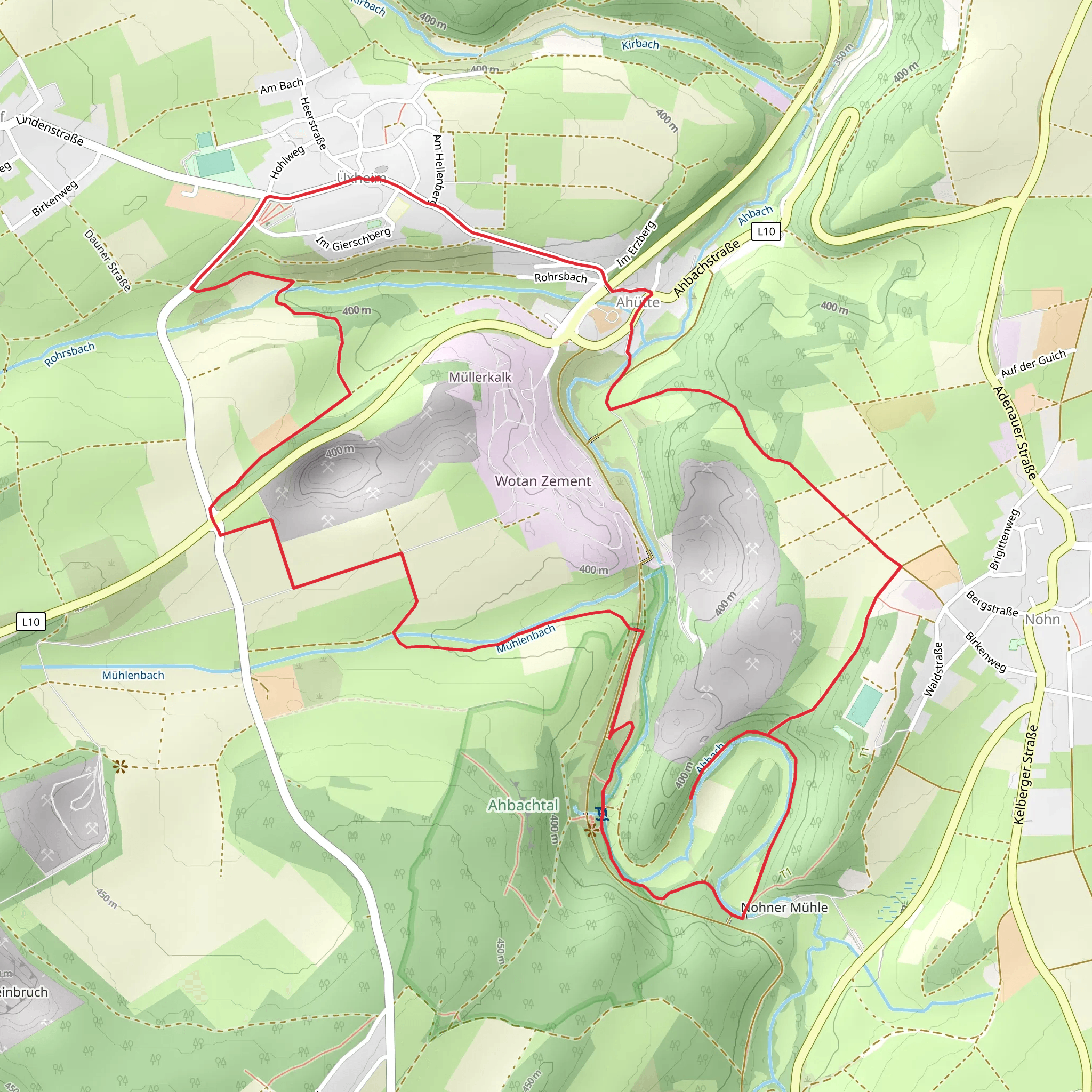
Starting your adventure near the picturesque region of Vulkaneifel, Germany, the Ruine Dreimuhlen Loop via Uxheim is a captivating 9 km (approximately 5.6 miles) loop trail with an elevation gain of around 100 meters (328 feet). This trail is rated as medium difficulty, making it suitable for moderately experienced hikers.### Getting ThereTo reach the trailhead, you can drive or use public transport. If you're driving, set your GPS to Uxheim, a small village in the Vulkaneifel district. There is ample parking available near the village center. For those using public transport, take a train to the nearest major station, which is in Hillesheim, and then a local bus to Uxheim. The bus stop is conveniently located near the trailhead.### Trail Highlights#### Historical SignificanceOne of the most fascinating aspects of this trail is the Ruine Dreimuhlen, a medieval castle ruin that dates back to the 12th century. Located approximately 3 km (1.9 miles) into the hike, the ruins offer a glimpse into the region's rich history. The castle was originally built to protect the local area and has since become a significant landmark. As you explore the ruins, you'll find interpretive signs that provide historical context and details about the castle's past.#### Natural BeautyThe trail meanders through a variety of landscapes, including dense forests, open meadows, and scenic riverbanks. The Vulkaneifel region is known for its volcanic origins, and you'll notice unique geological formations along the way. Keep an eye out for the Dreimuhlen Waterfall, a small but picturesque waterfall that is particularly beautiful in the spring and early summer when the water flow is at its peak.#### Flora and FaunaThe trail is rich in biodiversity. In the forested sections, you'll encounter a variety of tree species, including oak, beech, and pine. The meadows are often filled with wildflowers, especially in the warmer months. Birdwatchers will be delighted by the variety of species that inhabit the area, including woodpeckers, owls, and various songbirds. Small mammals like foxes and deer are also commonly spotted.### Navigation and SafetyGiven the trail's moderate difficulty, it's advisable to use a reliable navigation tool like HiiKER to ensure you stay on course. The trail is well-marked, but having a digital map can be very helpful, especially in the forested sections where the path can become less obvious.#### Elevation and TerrainThe total elevation gain is around 100 meters (328 feet), spread out over the 9 km (5.6 miles) loop. The terrain is varied but generally manageable. There are a few steep sections, particularly near the castle ruins and the waterfall, so good hiking boots are recommended. Trekking poles can also be useful for added stability.#### Weather ConsiderationsThe Vulkaneifel region can experience variable weather conditions. Summers are generally mild, but it's always a good idea to bring a rain jacket as sudden showers are not uncommon. In the winter, the trail can become icy and slippery, so extra caution and appropriate gear are necessary.### Points of Interest- Ruine Dreimuhlen: Approximately 3 km (1.9 miles) into the hike. - Dreimuhlen Waterfall: Located around the 4 km (2.5 miles) mark. - Scenic Meadows and Forests: Throughout the trail, offering numerous photo opportunities.### Final TipsEnsure you bring enough water and snacks, as there are no facilities along the trail. A small first aid kit is also advisable. Always let someone know your hiking plans and estimated return time. Enjoy the hike and take your time to absorb the natural beauty and historical richness of the Ruine Dreimuhlen Loop via Uxheim.
What to expect?
Activity types
Comments and Reviews
User comments, reviews and discussions about the Ruine Dreimuhlen Loop via Uxheim, Germany.
4.71
average rating out of 5
7 rating(s)
