Download
Preview
Add to list
More
6.0 km
~1 hrs 23 min
110 m
Loop
“The Zobes Loop in Vogtlandkreis, Germany, offers a scenic 6 km hike with diverse landscapes and historical landmarks.”
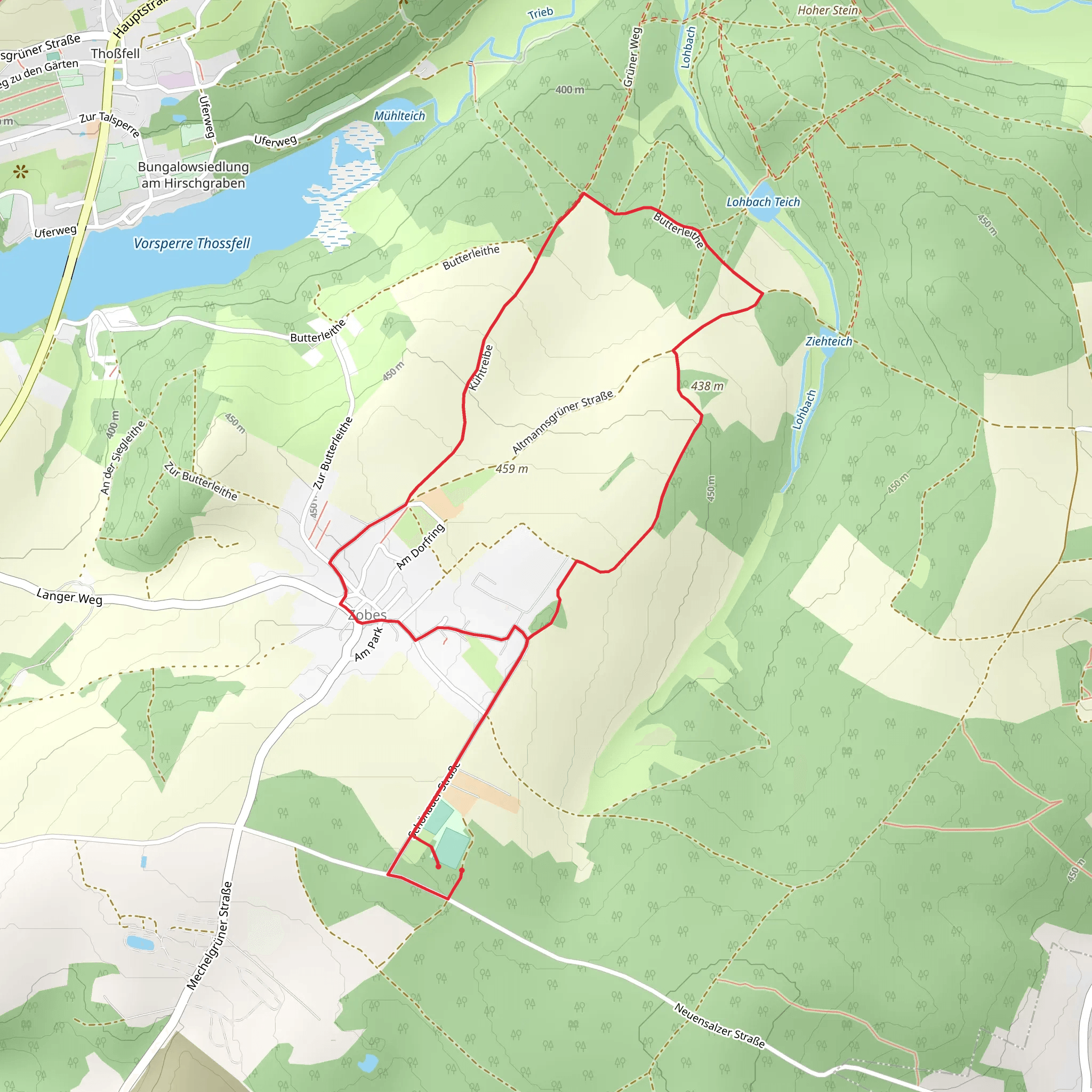
Starting near Vogtlandkreis, Germany, the Zobes Loop is a delightful 6 km (approximately 3.7 miles) trail with an elevation gain of around 100 meters (328 feet). This loop trail is estimated to be of medium difficulty, making it suitable for moderately experienced hikers.
Getting There To reach the trailhead, you can drive or use public transport. If driving, set your GPS to Vogtlandkreis, and look for parking near the village of Zobes. For those using public transport, take a train to Plauen, the nearest major town, and then a local bus to Zobes. The bus stop is conveniently located near the trailhead.
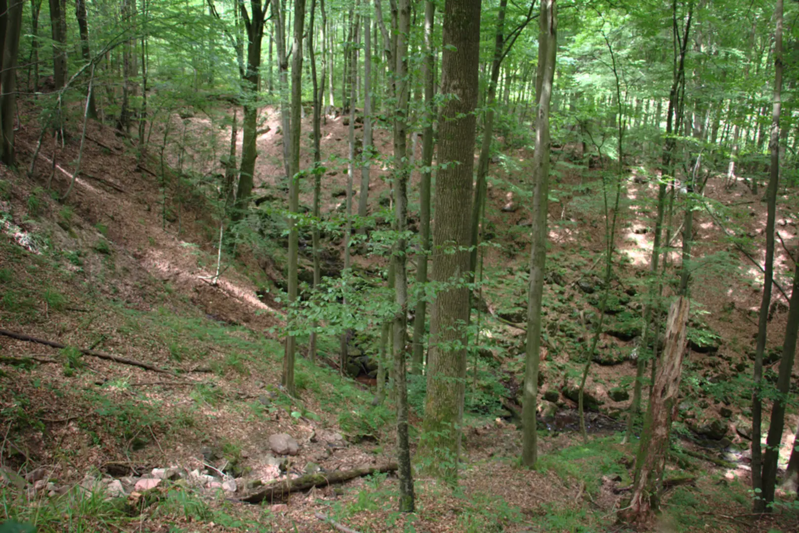
Trail Overview The trail begins with a gentle ascent through mixed forests, offering a serene start to your hike. As you progress, you'll encounter a variety of landscapes, including open meadows and dense woodlands. The first kilometer (0.6 miles) is relatively easy, allowing you to warm up before the more challenging sections.
Significant Landmarks and Nature Around the 2 km (1.2 miles) mark, you'll come across the Zobes Stone, a large rock formation that offers a great spot for a short break and some photos. This area is also rich in birdlife, so keep an eye out for species like the European robin and the great tit.
Historical Significance The region around Vogtlandkreis has a rich history dating back to the medieval period. As you hike, you'll notice remnants of old stone walls and possibly even some ancient boundary markers. These are relics from a time when the area was a contested borderland between various feudal lords.
Wildlife and Flora The trail is home to a variety of wildlife, including deer and foxes. In the spring and summer months, the meadows are filled with wildflowers like daisies and buttercups, adding a splash of color to your hike. The forested sections are dominated by oak and beech trees, providing ample shade and a cool respite during warmer days.
Navigation For navigation, it's highly recommended to use the HiiKER app, which provides detailed maps and real-time updates. The trail is well-marked, but having a reliable navigation tool can enhance your hiking experience and ensure you stay on track.
Final Stretch The last 2 km (1.2 miles) of the trail loop back towards Zobes, offering a gentle descent that allows you to cool down. This section passes through more open terrain, giving you expansive views of the surrounding countryside. As you near the end, you'll pass by a small pond, a perfect spot to reflect on your hike and perhaps spot some local amphibians.
This trail offers a balanced mix of natural beauty, historical intrigue, and moderate physical challenge, making it a rewarding experience for those who venture out to explore it.
What to expect?
Activity types
Comments and Reviews
User comments, reviews and discussions about the Zobes Loop, Germany.
5.0
average rating out of 5
1 rating(s)

