Download
Preview
Add to list
More
6.9 km
~1 hrs 38 min
154 m
Loop
“Explore the scenic and historic 7 km Hoherodskopf trail, ideal for nature and history enthusiasts.”
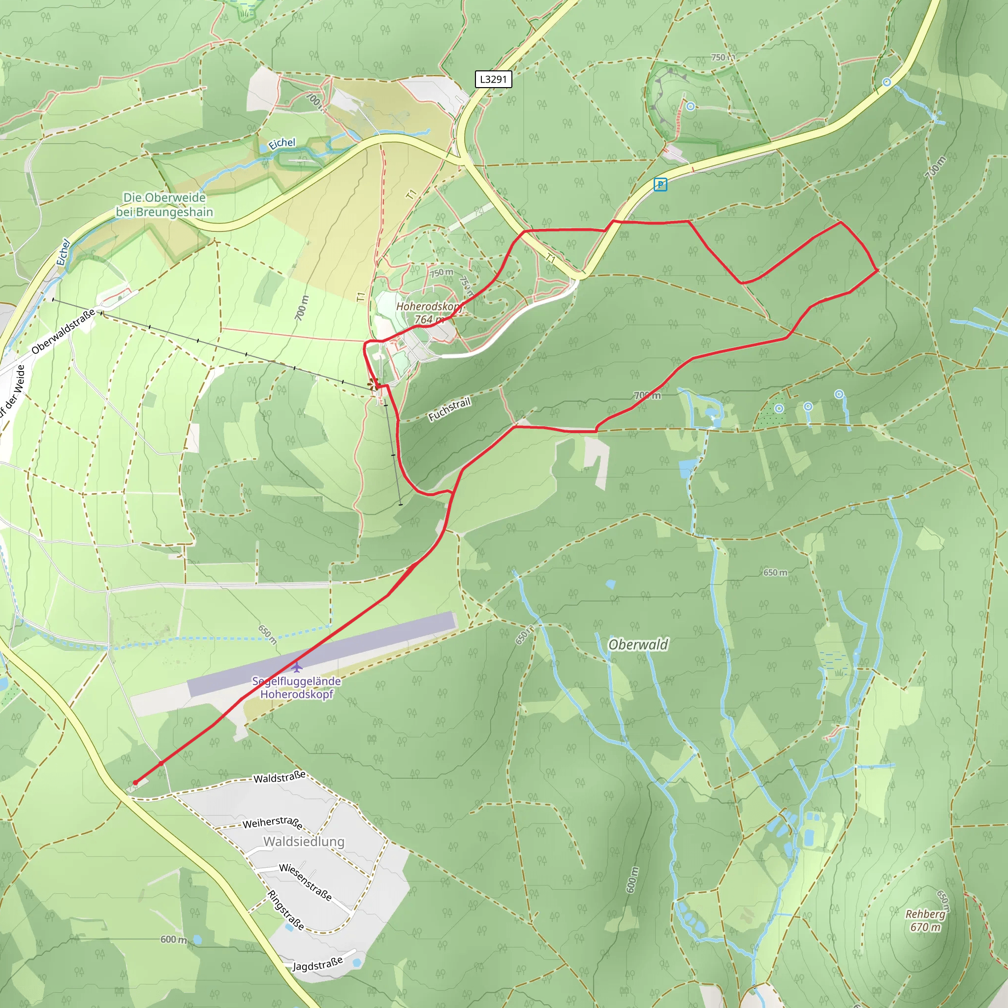
Starting your hike near Vogelsbergkreis, Germany, the Hoherodskopf via Gipfeltour Schotten trail offers a delightful loop of around 7 km (4.3 miles) with an elevation gain of approximately 100 meters (328 feet). This medium-difficulty trail is perfect for those looking to immerse themselves in the natural beauty and historical richness of the Vogelsberg region.
Getting There To reach the trailhead, you can drive or use public transport. If driving, set your GPS to Vogelsbergkreis, Germany, and look for parking near the Hoherodskopf area. For public transport, take a train to the nearest major station, such as Fulda or Gießen, and then a bus towards Schotten or Hoherodskopf. The bus services in this region are quite reliable and will drop you off close to the starting point.
Trail Overview The trail begins near the Hoherodskopf, one of the highest peaks in the Vogelsberg range. As you start your hike, you'll be greeted by lush forests and well-marked paths. The initial section is relatively flat, making it a good warm-up for the more undulating terrain ahead.
Significant Landmarks and Nature Around the 2 km (1.2 miles) mark, you'll come across the Nidda Reservoir, a serene spot perfect for a short break. The reservoir is a haven for birdwatchers, with species like the great crested grebe and various ducks often spotted here. Continuing on, the trail gradually ascends, offering panoramic views of the surrounding countryside.
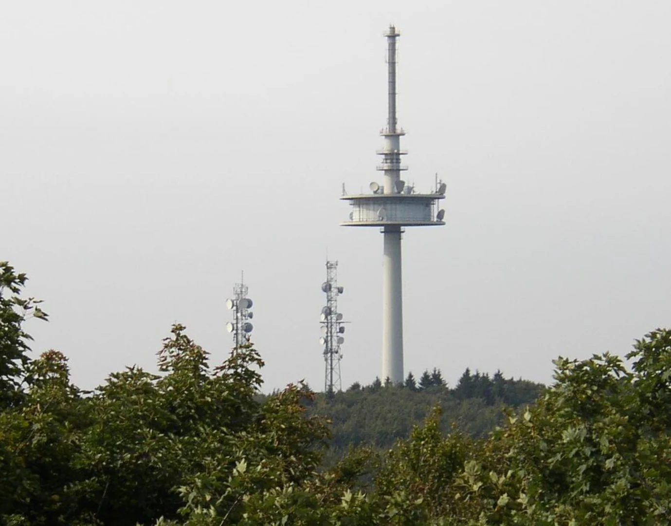
At approximately 4 km (2.5 miles), you'll reach the summit of Hoherodskopf. This area is not only a natural wonder but also holds historical significance. The Vogelsberg region is one of the largest extinct volcanic regions in Europe, and Hoherodskopf itself is a remnant of this volcanic activity. The summit offers a fantastic vantage point to appreciate the geological history of the area.
Flora and Fauna The trail is rich in biodiversity. You'll walk through dense beech and oak forests, and in the spring and summer months, the forest floor is carpeted with wildflowers like wood anemones and bluebells. Keep an eye out for local wildlife, including deer, foxes, and a variety of bird species.
Navigation and Safety The trail is well-marked, but it's always a good idea to have a reliable navigation tool. HiiKER is an excellent app for this purpose, providing detailed maps and real-time location tracking. The trail can be muddy and slippery after rain, so appropriate footwear is essential. Also, bring enough water and snacks, as there are limited facilities along the route.
Historical Significance The Vogelsberg region has a rich history dating back to the Celtic and Roman times. The volcanic activity that shaped the landscape millions of years ago has left behind fertile soil, making it an important agricultural area throughout history. The forests you walk through have been managed for centuries, providing timber and other resources to local communities.
Final Stretch As you descend from the summit, the trail loops back towards the starting point. The descent is gentle, allowing you to enjoy the final stretch without too much strain. You'll pass through more beautiful forested areas before arriving back at the trailhead.
This hike offers a perfect blend of natural beauty, historical intrigue, and moderate physical challenge, making it a rewarding experience for any outdoor enthusiast.
What to expect?
Activity types
Comments and Reviews
User comments, reviews and discussions about the Hoherodskopf via Gipfeltour Schotten, Germany.
4.0
average rating out of 5
2 rating(s)

