Download
Preview
Add to list
More
3.4 km
~52 min
111 m
Loop
“Explore lush forests, historic landmarks, and stunning vistas on Tübingen's scenic Kalberauchtert and Ob den Breitwiesen Loop.”
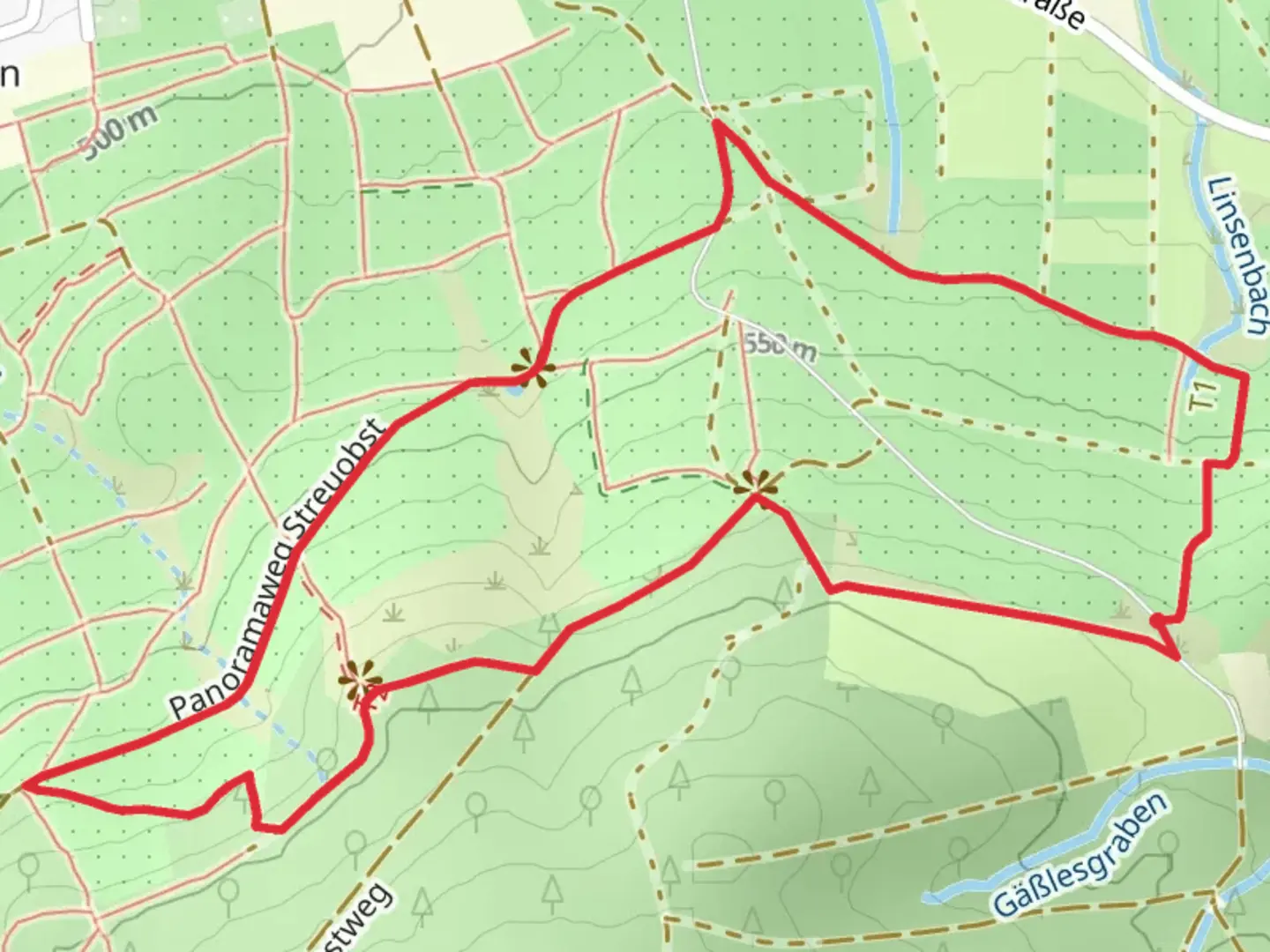
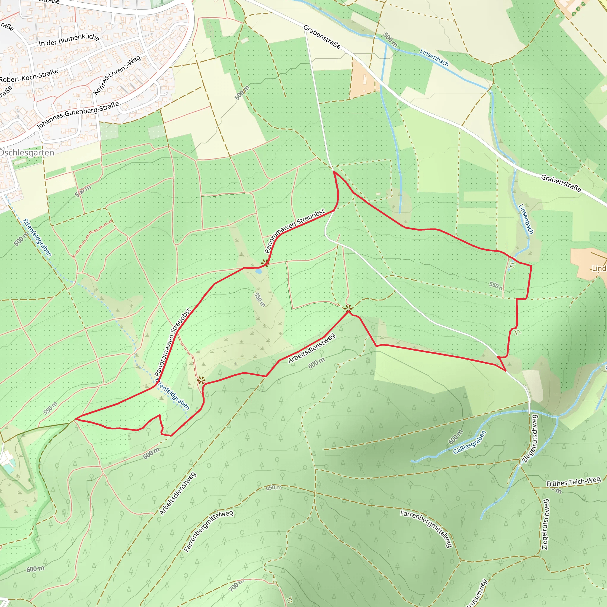
Starting near the picturesque town of Tübingen, Germany, the Kalberauchtert and Ob den Breitwiesen Loop is a delightful 3 km (1.86 miles) loop trail with an elevation gain of approximately 100 meters (328 feet). This trail offers a moderate challenge, making it suitable for hikers with some experience.
Getting There
To reach the trailhead, you can either drive or use public transport. If driving, head towards Tübingen and look for parking near the outskirts of the town, close to the starting point of the trail. For those using public transport, Tübingen is well-connected by train and bus services. From the Tübingen Hauptbahnhof (main train station), you can take a local bus that will drop you off near the trailhead. The nearest significant landmark to the trailhead is the Tübingen Botanical Garden, which is a short walk away.
Trail Navigation
For navigation, it is highly recommended to use the HiiKER app, which provides detailed maps and real-time updates to ensure you stay on track throughout your hike.
Trail Highlights
#### Nature and Wildlife
As you embark on the trail, you'll be greeted by a lush, mixed forest that is home to a variety of flora and fauna. Keep an eye out for native bird species such as the European robin and the great tit. The forest floor is often carpeted with wildflowers in the spring, adding a splash of color to your hike.
#### Significant Landmarks
About 1 km (0.62 miles) into the hike, you'll come across a charming wooden bridge that spans a small creek. This is a great spot for a quick rest and some photos. Continuing on, the trail gradually ascends, offering panoramic views of the surrounding Swabian Jura landscape.
At approximately the halfway point, you'll reach the highest elevation of the trail, around 100 meters (328 feet) above the starting point. Here, you'll find a scenic overlook that provides a stunning vista of the Tübingen valley and the distant Hohenzollern Castle, a historical landmark that dates back to the 11th century.
Historical Significance
The region around Tübingen is steeped in history. The town itself is one of the oldest university towns in Europe, with the University of Tübingen founded in 1477. The trail passes through areas that have been inhabited since the Roman era, and you might even spot remnants of ancient Roman roads and settlements if you look closely.
Final Stretch
As you descend back towards the trailhead, the path winds through open meadows and fields, offering a different but equally beautiful perspective of the landscape. The final stretch is relatively flat and easy, making for a pleasant end to your hike.
Preparation Tips
Given the moderate difficulty of the trail, it's advisable to wear sturdy hiking boots and bring plenty of water, especially during the warmer months. The trail can be muddy after rain, so be prepared for potentially slippery conditions. Always check the weather forecast before heading out and consider using trekking poles for added stability.
This trail offers a perfect blend of natural beauty, historical intrigue, and moderate physical challenge, making it a rewarding experience for any hiker.
What to expect?
Activity types
Comments and Reviews
User comments, reviews and discussions about the Kalberauchtert and Ob den Breitwiesen Loop, Germany.
average rating out of 5
0 rating(s)
