Download
Preview
Add to list
More
8.1 km
~2 hrs 8 min
305 m
Loop
“Explore diverse landscapes and rich history on the scenic, moderately challenging Flugplatz Farrenberg Loop trail.”
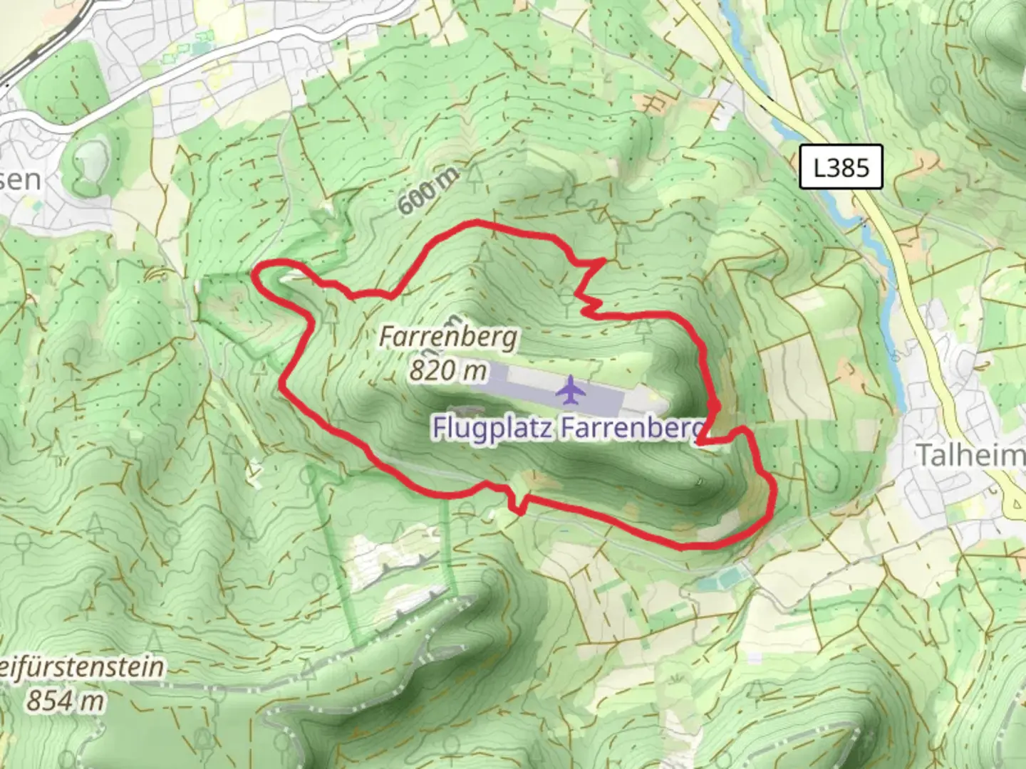
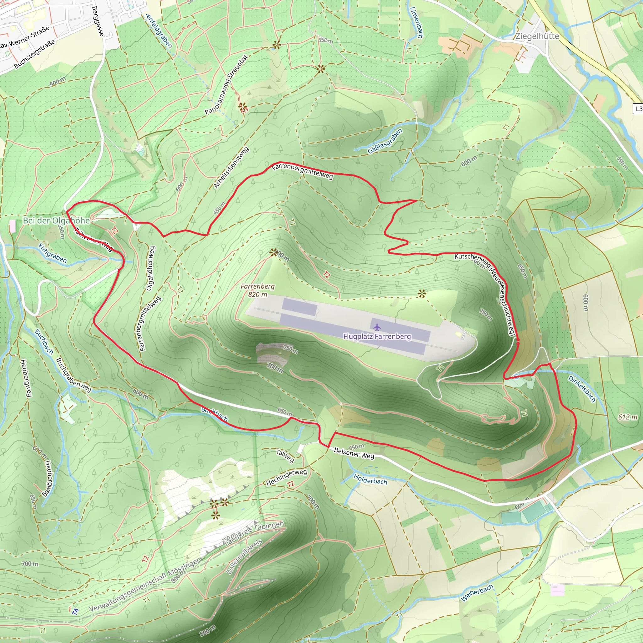
Starting near the picturesque town of Tübingen, Germany, the Flugplatz Farrenberg Loop is an 8 km (approximately 5 miles) trail with an elevation gain of around 300 meters (about 984 feet). This loop trail is rated as medium difficulty, making it suitable for moderately experienced hikers.
Getting There To reach the trailhead, you can either drive or use public transport. If driving, head towards Tübingen and follow signs to the small airfield known as Flugplatz Farrenberg. For those using public transport, take a train to Tübingen Hauptbahnhof (Tübingen Main Station). From there, you can catch a local bus or taxi to the airfield, which is a short distance away.
Trail Overview The trail begins near the Flugplatz Farrenberg, a small airfield that offers a unique starting point. As you set off, you'll be greeted by a mix of open fields and dense forest, providing a diverse hiking experience. The initial section is relatively flat, allowing you to ease into the hike.
Key Landmarks and Points of Interest Around the 2 km (1.2 miles) mark, you'll encounter the first significant ascent, gaining approximately 100 meters (328 feet) in elevation. This section takes you through a lush forest, where you might spot local wildlife such as deer and various bird species. Keep an eye out for the occasional wild boar tracks as well.
At roughly 4 km (2.5 miles), you'll reach a scenic viewpoint overlooking the Swabian Jura (Schwäbische Alb). This is an excellent spot to take a break and enjoy the panoramic views of the surrounding landscape. The Swabian Jura is a region rich in history, known for its ancient castles and prehistoric caves. The limestone cliffs and rolling hills are a testament to the area's geological significance.
Flora and Fauna The trail is abundant with diverse flora, including beech and oak trees. During spring and summer, the forest floor is carpeted with wildflowers, adding a splash of color to your hike. In autumn, the foliage transforms into a vibrant tapestry of reds, oranges, and yellows.
Navigation and Safety Navigating the Flugplatz Farrenberg Loop is straightforward, but it's always wise to have a reliable navigation tool. The HiiKER app is highly recommended for this purpose, offering detailed maps and real-time tracking to ensure you stay on course.
Final Stretch As you continue, the trail gradually descends back towards the airfield. The final 2 km (1.2 miles) are relatively easy, allowing you to cool down as you make your way back to the starting point. This section offers more open views and a chance to reflect on the diverse landscapes you've traversed.
Historical Significance The region around Tübingen has a rich history dating back to Roman times. The Swabian Jura itself is dotted with ancient ruins and medieval castles, some of which can be seen from the trail. The area was also a significant center during the Renaissance, with Tübingen University being one of the oldest in Germany, founded in 1477.
This hike offers a perfect blend of natural beauty, moderate challenge, and historical intrigue, making it a rewarding experience for any hiker.
What to expect?
Activity types
Comments and Reviews
User comments, reviews and discussions about the Flugplatz Farrenberg Loop, Germany.
5.0
average rating out of 5
1 rating(s)
