Download
Preview
Add to list
More
10.6 km
~2 hrs 48 min
421 m
Loop
“The Rompertsweg and Grundweg Loop near Trier blends rich history, diverse landscapes, and moderate hiking challenge.”
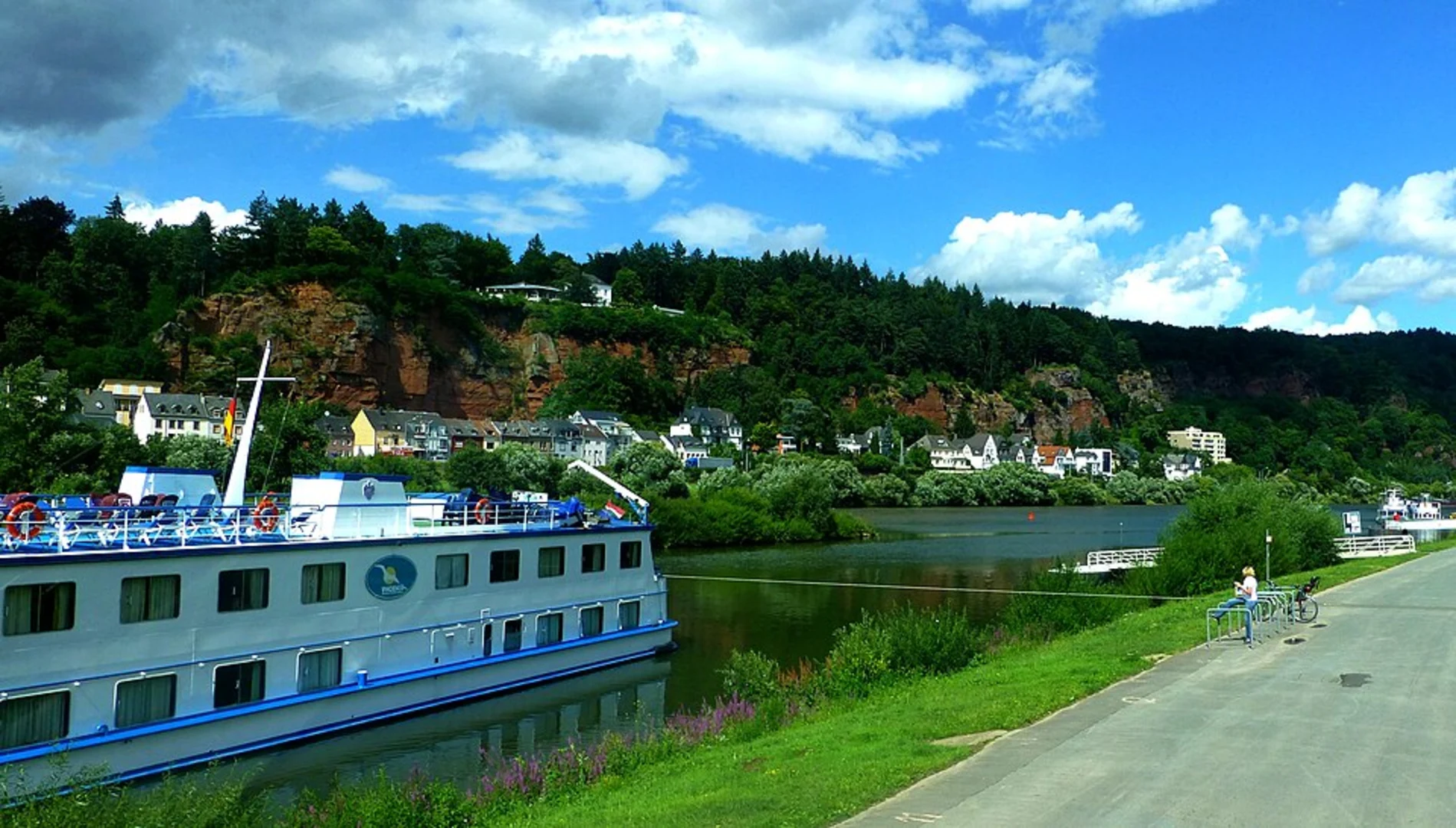
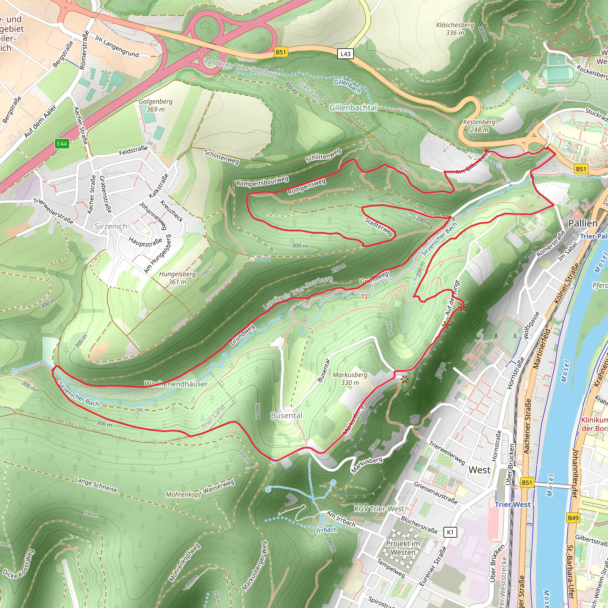
Starting near the historic city of Trier, Germany, the Rompertsweg and Grundweg Loop is a captivating 11 km (approximately 6.8 miles) trail with an elevation gain of around 400 meters (about 1,312 feet). This loop trail is rated as medium difficulty, making it suitable for moderately experienced hikers.
Getting There To reach the trailhead, you can either drive or use public transport. If driving, head towards Trier and look for parking near the trailhead, which is conveniently located close to the city. For those using public transport, Trier is well-connected by train and bus services. From the Trier Hauptbahnhof (main train station), you can take a local bus to the trailhead area.
Trail Highlights The trail begins with a gentle ascent, allowing you to ease into the hike. As you progress, you'll encounter a mix of forested paths and open meadows, offering a variety of landscapes. The initial part of the trail takes you through dense woodlands, where you might spot local wildlife such as deer and various bird species.
Historical Significance Trier is one of Germany's oldest cities, with a rich Roman history. As you hike, you'll come across remnants of this ancient past. Approximately 3 km (1.9 miles) into the hike, you'll find the Roman Bridge (Römerbrücke), a UNESCO World Heritage site. This bridge, built in the 2nd century AD, is a testament to Roman engineering and offers a picturesque spot for a brief rest.
Mid-Trail Features Around the halfway mark, the trail opens up to panoramic views of the Moselle Valley. This section, roughly 5.5 km (3.4 miles) in, is a great place to take a break and enjoy the scenery. The elevation gain here is noticeable, so be prepared for a bit of a climb. The views, however, are well worth the effort.
Flora and Fauna The trail is rich in biodiversity. In the spring and summer months, the meadows are adorned with wildflowers, attracting a variety of butterflies. The forested areas are home to oak, beech, and pine trees, providing ample shade and a cool respite during warmer days.
Navigation For navigation, it's highly recommended to use the HiiKER app, which provides detailed maps and real-time updates. This will ensure you stay on track and can easily find points of interest along the way.
Final Stretch As you near the end of the loop, the trail descends gently back towards the starting point. This section is less strenuous, allowing you to cool down and reflect on the hike. The final 2 km (1.2 miles) take you through a serene forest path, eventually leading you back to the trailhead.
Practical Tips - Wear sturdy hiking boots, as some sections can be rocky and uneven. - Carry enough water and snacks, especially during warmer months. - Check the weather forecast before heading out, as conditions can change rapidly. - Use the HiiKER app for navigation and to stay updated on trail conditions.
This trail offers a perfect blend of natural beauty, historical landmarks, and moderate physical challenge, making it a rewarding experience for any hiker.
What to expect?
Activity types
Comments and Reviews
User comments, reviews and discussions about the Rompertsweg and Grundweg Loop, Germany.
4.29
average rating out of 5
7 rating(s)

