Download
Preview
Add to list
More
6.8 km
~1 hrs 43 min
223 m
Loop
“Explore Trier's history and lush landscapes on the captivating Mattheiser Schießstand Loop trail.”
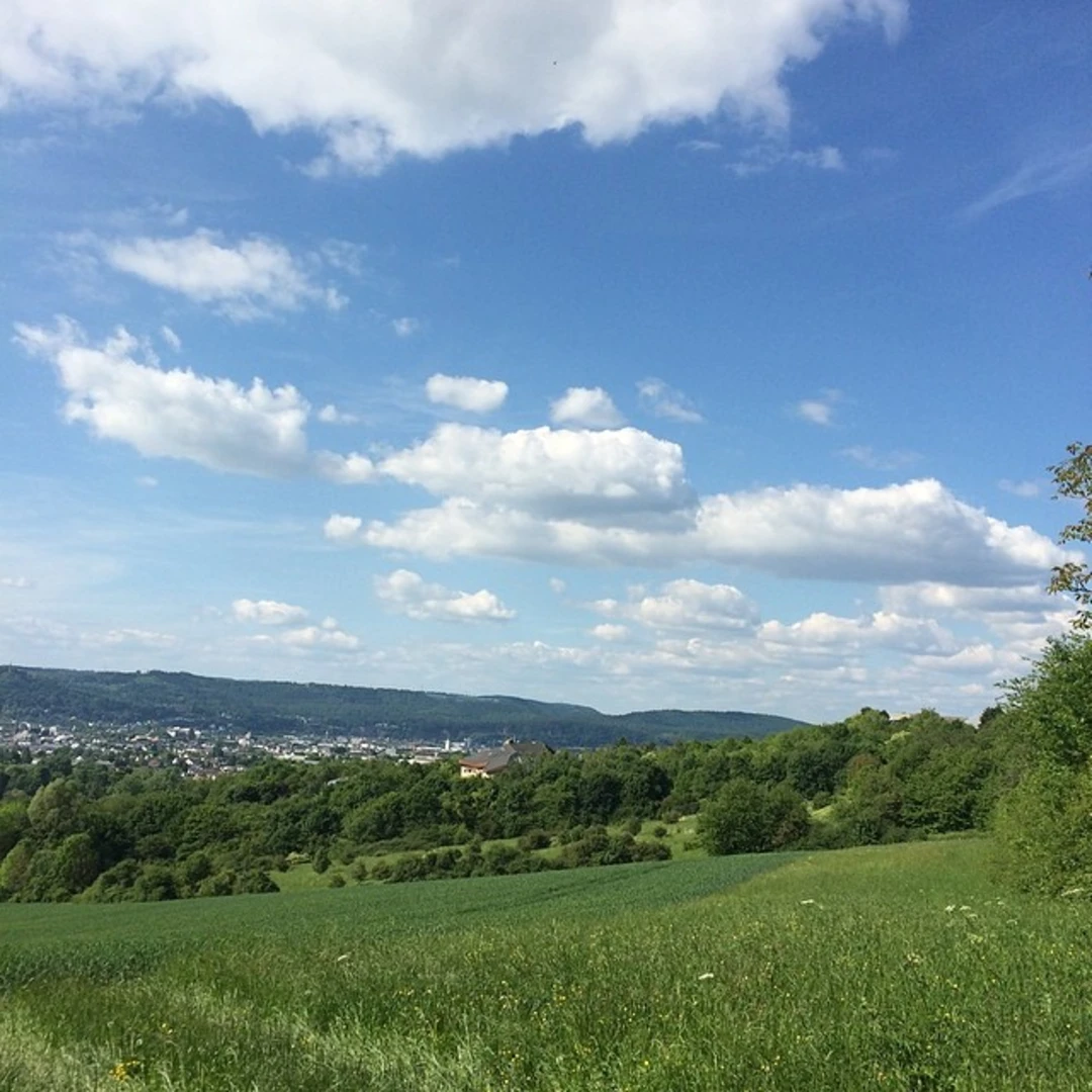
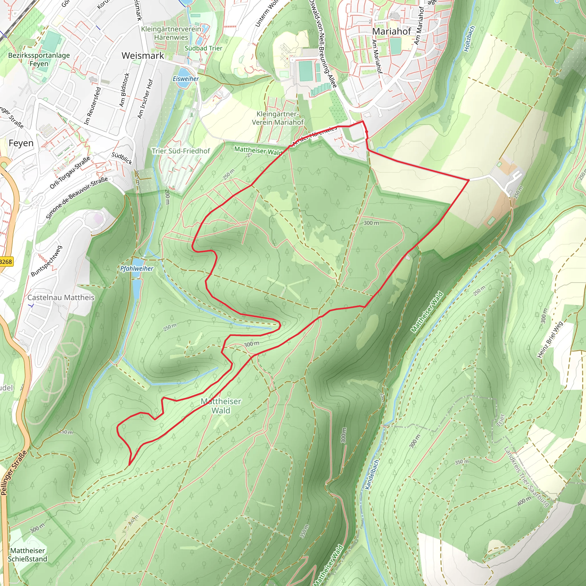
Starting near the historic city of Trier, Germany, the Mattheiser Schießstand Loop is a captivating 7 km (4.35 miles) loop trail with an elevation gain of approximately 200 meters (656 feet). This trail offers a moderate challenge, making it suitable for hikers with some experience.### Getting There To reach the trailhead, you can either drive or use public transportation. If driving, head towards the outskirts of Trier, specifically near the Mattheiser Weiher. For those using public transport, take a bus from Trier's central station to the Mattheiser Weiher stop. From there, it's a short walk to the trailhead.### Trail Overview The trail begins near the Mattheiser Weiher, a serene pond that sets a tranquil tone for your hike. As you start, you'll be greeted by lush greenery and the sounds of local wildlife. The first kilometer (0.62 miles) is relatively flat, allowing you to ease into the hike.### Historical Significance Trier is one of Germany's oldest cities, with a rich history dating back to Roman times. As you hike, you'll come across remnants of this ancient past. About 2 km (1.24 miles) into the trail, you'll find the ruins of an old Roman shooting range, known as the Schießstand. This site offers a fascinating glimpse into the military practices of ancient Rome.### Nature and Wildlife The trail meanders through dense forests and open meadows, providing a diverse range of flora and fauna. Keep an eye out for deer, foxes, and a variety of bird species. The forested sections are particularly beautiful in the fall when the leaves turn vibrant shades of red and gold.### Elevation and Terrain Around the 3 km (1.86 miles) mark, the trail begins to ascend more steeply. This section will take you through a series of switchbacks, gaining approximately 100 meters (328 feet) in elevation over the next kilometer (0.62 miles). The terrain here is rocky, so sturdy hiking boots are recommended.### Scenic Views As you reach the highest point of the trail, roughly 4 km (2.48 miles) in, you'll be rewarded with panoramic views of the surrounding countryside. This is an excellent spot to take a break and enjoy a snack while soaking in the scenery.### Descent and Return The descent begins around the 5 km (3.11 miles) mark, where the trail gradually slopes downward. This section is less strenuous but requires careful footing due to loose gravel. The final stretch of the trail takes you through a picturesque meadow before looping back to the starting point near Mattheiser Weiher.### Navigation For navigation, it's highly recommended to use the HiiKER app, which provides detailed maps and real-time updates to ensure you stay on track.### Final Tips - Bring plenty of water, especially during the warmer months. - Wear layers, as the weather can change rapidly. - A small first aid kit is always a good idea. - Check the weather forecast before heading out to avoid unexpected conditions.This trail offers a perfect blend of natural beauty, historical intrigue, and moderate physical challenge, making it a must-visit for hikers in the Trier area.
Comments and Reviews
User comments, reviews and discussions about the Mattheiser Schießstand Loop, Germany.
4.43
average rating out of 5
7 rating(s)

