Download
Preview
Add to list
More
11.2 km
~2 hrs 48 min
339 m
Loop
“Explore the scenic Kaiserhammer Weiher and Meilenbach Loop, a moderate 11 km hike rich in nature and history.”
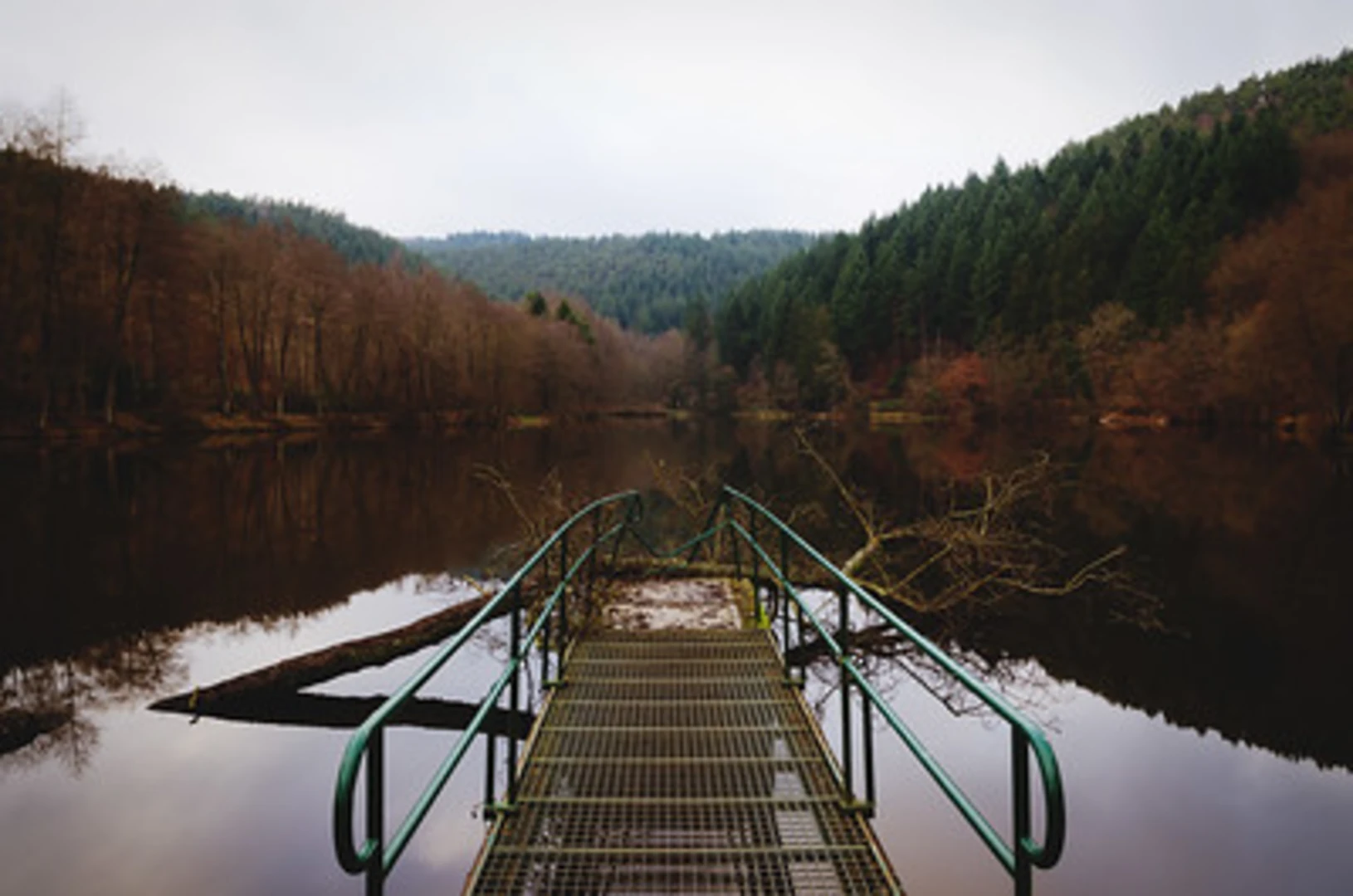
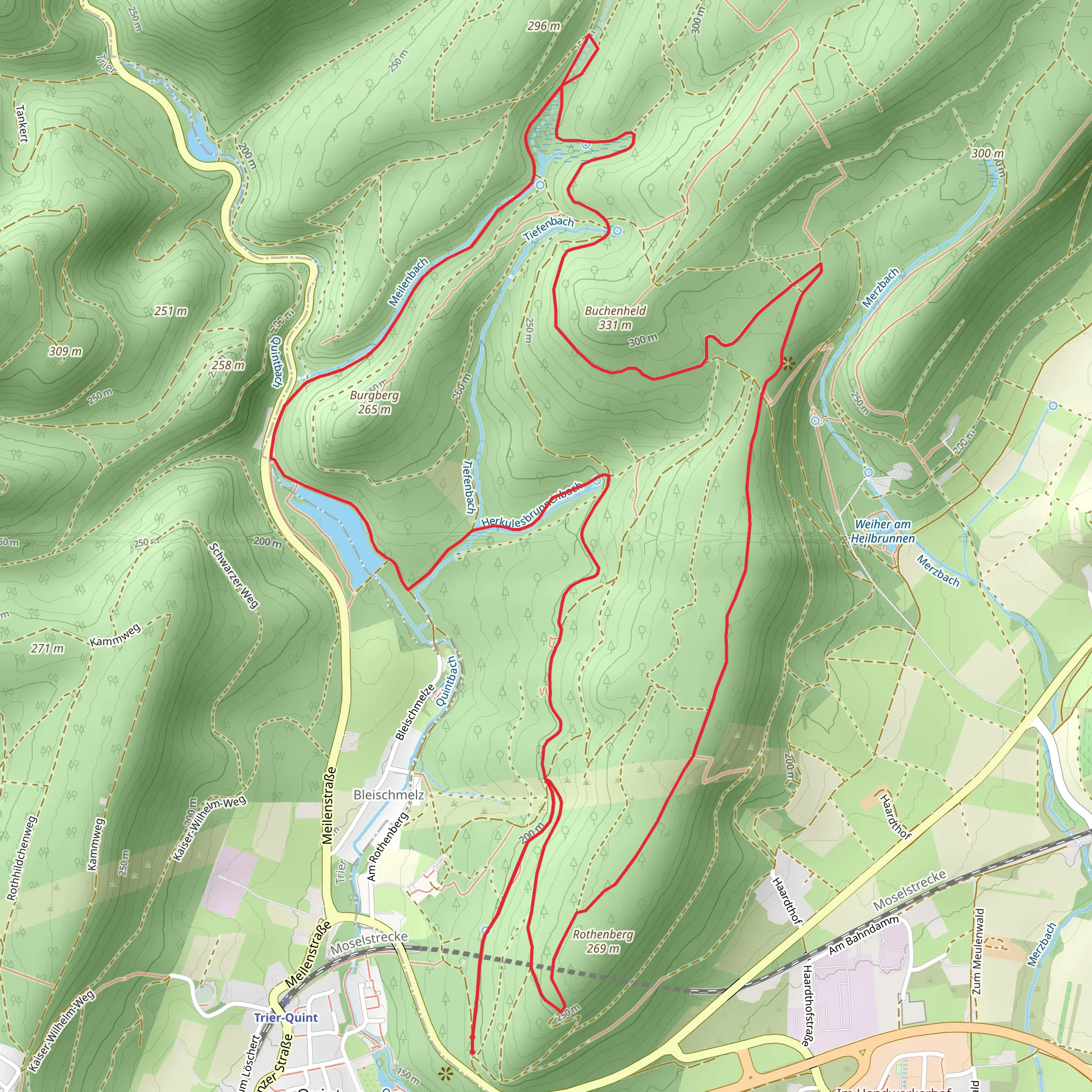
Starting near Trier-Saarburg, Germany, the Kaiserhammer Weiher and Meilenbach Loop is a picturesque 11 km (approximately 6.8 miles) trail with an elevation gain of around 300 meters (about 984 feet). This loop trail is rated as medium difficulty, making it suitable for moderately experienced hikers.### Getting There To reach the trailhead, you can drive or use public transport. If driving, set your GPS to the nearest known address: Kaiserhammer Weiher, 54439 Saarburg, Germany. For those using public transport, take a train to the Saarburg station. From there, you can catch a local bus or taxi to the trailhead, which is a short distance away.### Trail Overview The trail begins near the serene Kaiserhammer Weiher, a small lake that offers a tranquil start to your hike. As you set off, you'll be greeted by lush greenery and the gentle sounds of nature. The first section of the trail is relatively flat, making it an easy warm-up.### Significant Landmarks and Nature Around the 2 km (1.2 miles) mark, you'll encounter the Meilenbach stream. This part of the trail runs parallel to the stream, providing a soothing backdrop of flowing water. Keep an eye out for local wildlife, including deer and various bird species that frequent the area.### Elevation Gain and Terrain As you approach the 4 km (2.5 miles) point, the trail begins to ascend. The elevation gain here is gradual but steady, so pace yourself. The terrain varies from forest paths to open meadows, offering a mix of shaded and sunny sections. This diversity in landscape makes the hike visually engaging and enjoyable.### Historical Significance The region around Trier-Saarburg is steeped in history. Trier, known as the oldest city in Germany, is just a short distance away. The trail itself passes through areas that have been inhabited since Roman times. Keep an eye out for ancient ruins and historical markers that provide a glimpse into the past.### Navigation and Safety For navigation, it's highly recommended to use the HiiKER app, which provides detailed maps and real-time updates. The trail is well-marked, but having a reliable navigation tool ensures you stay on course.### Final Stretch The final 3 km (1.9 miles) of the trail loop back towards Kaiserhammer Weiher. This section is mostly downhill, offering a pleasant and relaxing end to your hike. As you near the trailhead, take a moment to enjoy the peaceful surroundings of the lake once more.This trail offers a perfect blend of natural beauty, moderate physical challenge, and historical intrigue, making it a rewarding experience for any hiker.
What to expect?
Activity types
Comments and Reviews
User comments, reviews and discussions about the Kaiserhammer Weiher and Meilenbach Loop, Germany.
4.0
average rating out of 5
2 rating(s)

