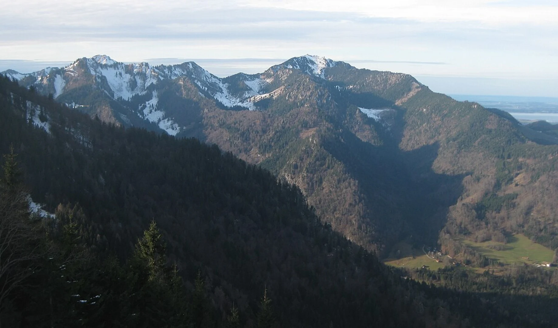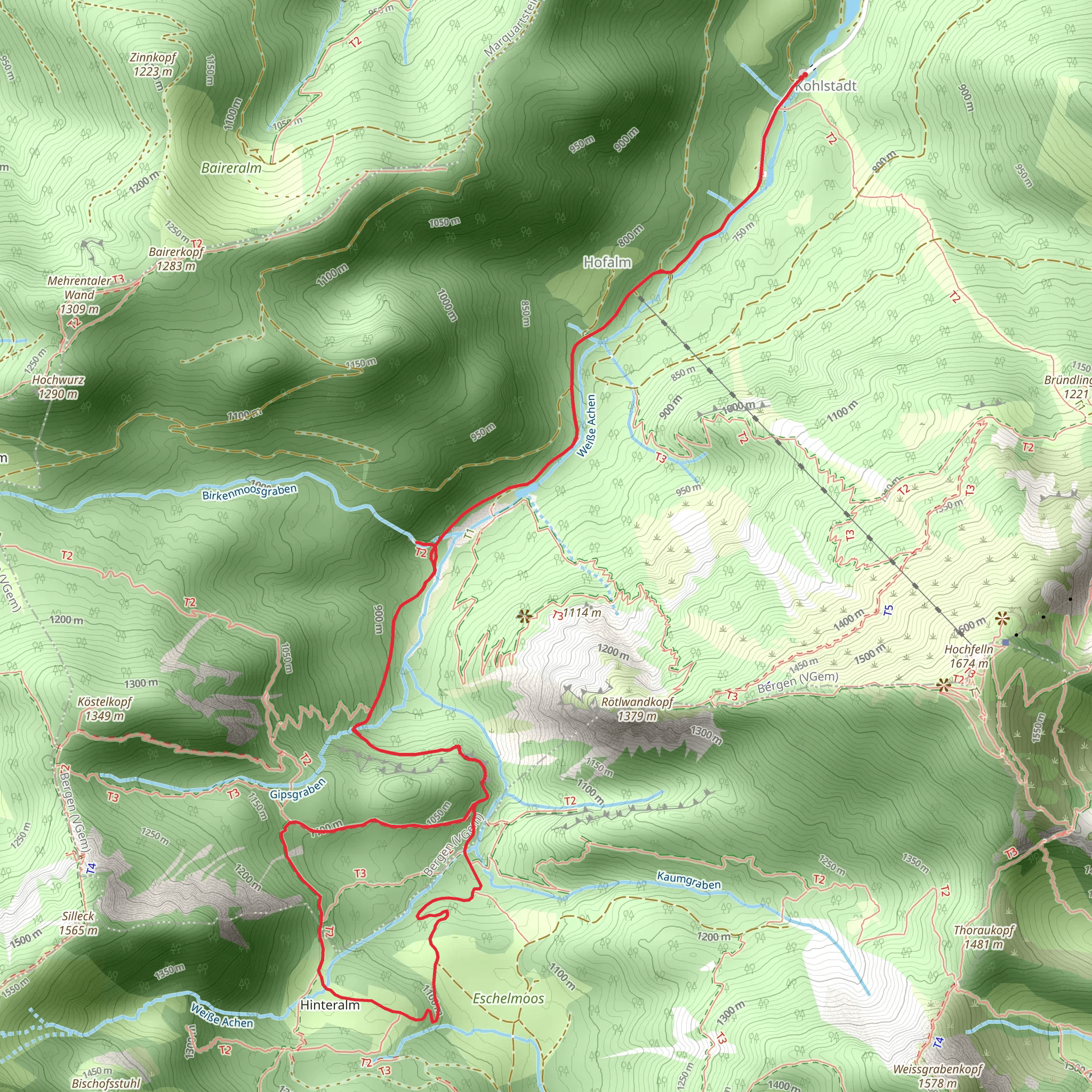
Wasserwandl Wasserfall and Hinteralm Loop via Wanderweg 56 - Hochfelln
Download
Preview
Add to list
More
9.1 km
~2 hrs 54 min
648 m
Loop
“Explore the scenic 9 km Wasserwandl Wasserfall and Hinteralm Loop, blending natural beauty, history, and moderate challenge.”
Starting near Traunstein, Germany, the Wasserwandl Wasserfall and Hinteralm Loop via Wanderweg 56 - Hochfelln is a captivating 9 km (5.6 miles) loop trail with an elevation gain of approximately 600 meters (1,968 feet). This medium-difficulty hike offers a blend of natural beauty, historical significance, and a moderate challenge suitable for most hikers.### Getting There To reach the trailhead, you can either drive or use public transportation. If driving, head towards Traunstein and follow signs to the Hochfelln area. There are parking facilities available near the trailhead. For those using public transport, take a train to Traunstein station. From there, local buses or taxis can take you closer to the starting point.### Trail Overview The trail begins near Traunstein and quickly immerses you in the lush Bavarian landscape. The initial section is relatively gentle, allowing you to warm up as you make your way through dense forests and along well-marked paths. ### Key Landmarks and Sections
Wasserwandl Wasserfall
Approximately 2 km (1.2 miles) into the hike, you will encounter the stunning Wasserwandl Wasserfall. This waterfall is a perfect spot for a short break and some photography. The sound of cascading water and the surrounding greenery make it a serene location to pause and take in the natural beauty.#### Ascent to Hinteralm After leaving the waterfall, the trail begins to ascend more steeply. Over the next 3 km (1.9 miles), you will gain significant elevation, around 400 meters (1,312 feet). This section can be challenging, so take your time and enjoy the panoramic views that start to emerge as you climb higher. The path is well-marked, but using a navigation tool like HiiKER can help ensure you stay on track.#### Hinteralm At around the 5 km (3.1 miles) mark, you will reach Hinteralm, a picturesque alpine meadow. This area is perfect for a longer rest, perhaps even a picnic. The meadow offers expansive views of the surrounding mountains and valleys, and you might spot some local wildlife such as deer or various bird species.### Descent and Return The descent begins after Hinteralm and is more gradual, allowing you to enjoy the scenery without the strain of a steep decline. Over the next 4 km (2.5 miles), you will make your way back to the trailhead, passing through mixed forests and open areas that offer different perspectives of the landscape.### Historical Significance The region around Traunstein has a rich history, with evidence of human settlement dating back to the Bronze Age. The trail itself passes through areas that have been used for centuries by local farmers and shepherds. The traditional Bavarian architecture and occasional historical markers along the way provide a glimpse into the area's past.### Wildlife and Flora The trail is home to a variety of wildlife, including deer, foxes, and numerous bird species. The flora is equally diverse, with dense forests of spruce and fir giving way to alpine meadows filled with wildflowers during the warmer months. Keep an eye out for rare plants and the occasional mushroom, especially in the forested sections.### Final Tips - Wear sturdy hiking boots, as the trail can be rocky and uneven in places. - Bring plenty of water and snacks, especially if you plan to picnic at Hinteralm. - Check the weather forecast before you go, as conditions can change rapidly in the mountains. - Use HiiKER for navigation to ensure you stay on the correct path.This trail offers a perfect blend of natural beauty, moderate challenge, and historical intrigue, making it a must-do for any hiking enthusiast visiting the Traunstein area.
What to expect?
Activity types
Comments and Reviews
User comments, reviews and discussions about the Wasserwandl Wasserfall and Hinteralm Loop via Wanderweg 56 - Hochfelln, Germany.
4.7
average rating out of 5
10 rating(s)
