Download
Preview
Add to list
More
6.4 km
~2 hrs 3 min
466 m
Loop
“Embark on a 6 km journey through Traunstein's alpine beauty, history, and diverse wildlife on the Maximiliansweg.”
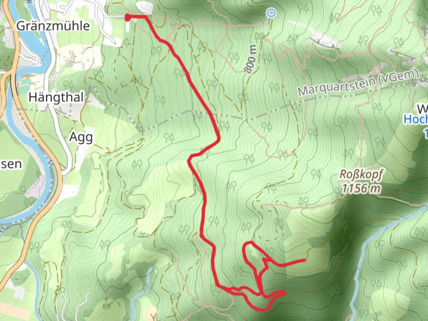
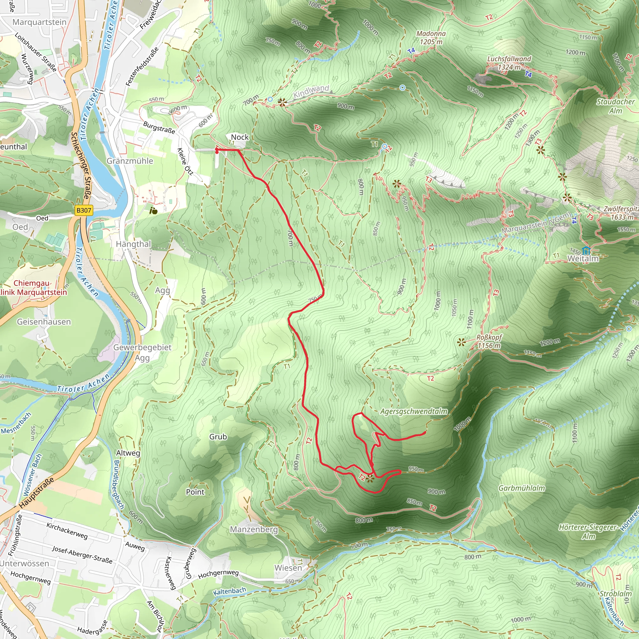
Starting near the picturesque town of Traunstein, Germany, the Maximiliansweg and Via Alpina Purple Loop offers a delightful 6 km (approximately 3.7 miles) journey with an elevation gain of around 400 meters (about 1,312 feet). This loop trail is rated as medium difficulty, making it suitable for moderately experienced hikers.
Getting There To reach the trailhead, you can either drive or use public transport. If you're driving, head towards Traunstein and look for parking options near the town center. For those using public transport, Traunstein is well-connected by train, with regular services from Munich and Salzburg. From the Traunstein train station, it's a short walk or a quick taxi ride to the trailhead.
Trail Overview The trail begins near Traunstein and quickly immerses you in the natural beauty of the Bavarian Alps. As you start your hike, you'll notice the lush greenery and the serene atmosphere that characterizes this region. The initial section of the trail is relatively gentle, allowing you to ease into the hike.
Significant Landmarks About 1 km (0.6 miles) into the hike, you'll come across the first significant landmark, the Hochberg Chapel. This charming chapel offers a peaceful spot to take a break and enjoy the surrounding views. Continuing on, the trail gradually ascends, providing panoramic vistas of the Chiemgau Alps.
Flora and Fauna As you hike, keep an eye out for the diverse flora and fauna. The trail is home to a variety of plant species, including alpine flowers and dense forests of spruce and fir. Wildlife enthusiasts might spot deer, foxes, and a variety of bird species, making this trail a delight for nature lovers.
Historical Significance The region around Traunstein has a rich history, with evidence of human settlement dating back to the Bronze Age. The trail itself is named after King Maximilian II of Bavaria, who was known for his love of nature and hiking. The Via Alpina, part of which this loop trail encompasses, is a network of long-distance hiking trails that traverse the Alps, connecting eight countries and showcasing the cultural and natural heritage of the region.
Navigation and Safety Given the moderate difficulty of the trail, it's advisable to use a reliable navigation tool like HiiKER to ensure you stay on track. The trail is well-marked, but having a digital map can provide additional peace of mind. Make sure to wear sturdy hiking boots and bring sufficient water and snacks, as there are limited facilities along the route.
Final Stretch As you approach the final stretch of the loop, the trail descends gently back towards Traunstein. This section offers a different perspective of the landscape, with views of the town and the surrounding countryside. The loop concludes back at the starting point, where you can take a moment to reflect on the beautiful journey you've just completed.
This trail offers a perfect blend of natural beauty, historical significance, and moderate challenge, making it a rewarding experience for hikers of all levels.
What to expect?
Activity types
Comments and Reviews
User comments, reviews and discussions about the Maximiliansweg and Via Alpina Purple Loop, Germany.
4.5
average rating out of 5
2 rating(s)
