Download
Preview
Add to list
More
10.1 km
~3 hrs 43 min
1021 m
Loop
“Gamsknogel via Maximilians Weg offers a breathtaking adventure through Bavaria's lush forests and alpine vistas.”
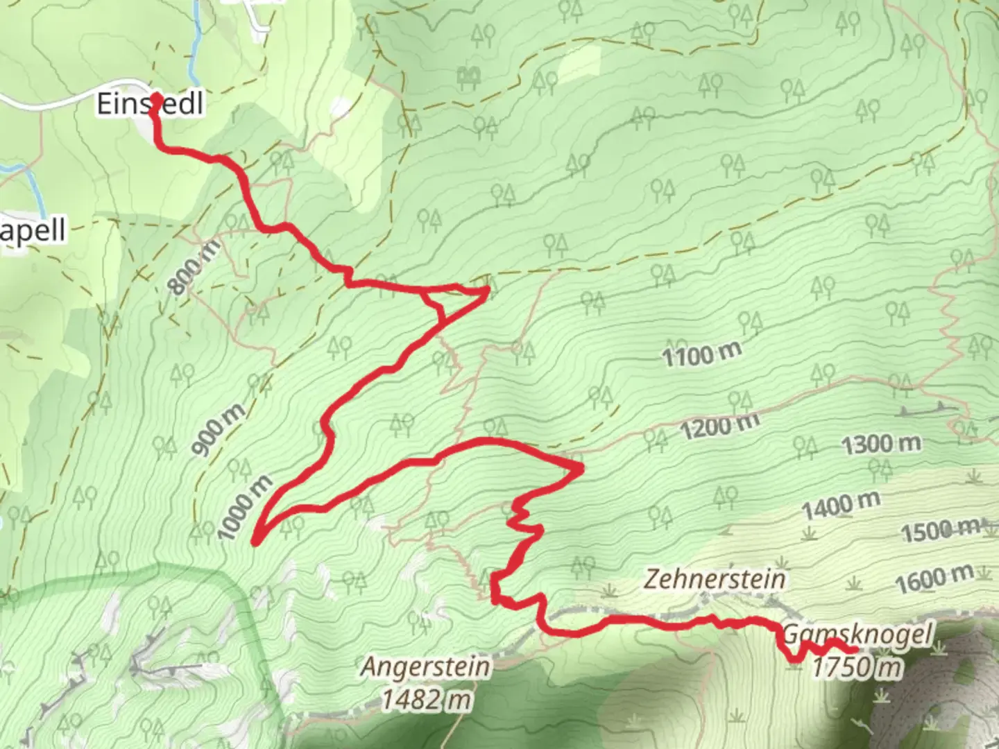
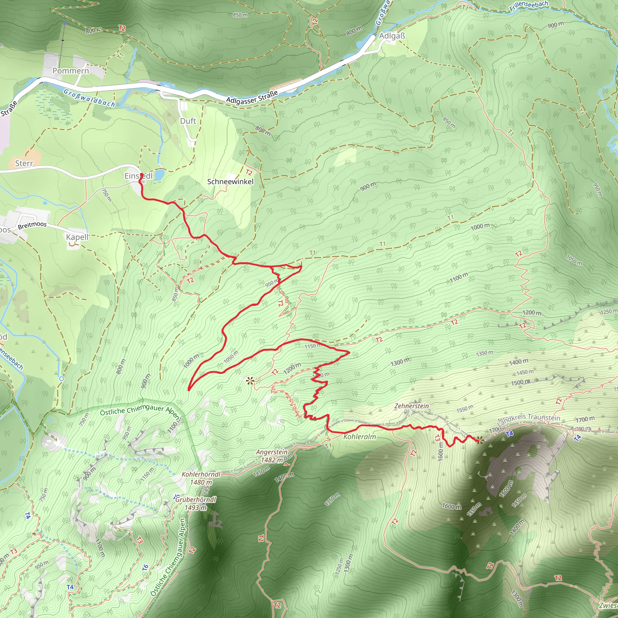
Nestled in the Bavarian Alps, the Gamsknogel via Maximilians Weg offers a challenging yet rewarding hiking experience. This loop trail, approximately 10 kilometers (6.2 miles) long, begins near Traunstein, Germany, and is known for its significant elevation gain of around 1000 meters (3280 feet). The trail is rated as extra difficult, making it suitable for experienced hikers seeking a rigorous adventure.
Getting There
To reach the trailhead, you can drive to the vicinity of Traunstein, a charming town in Bavaria. If you prefer public transport, Traunstein is accessible by train from major cities like Munich. From the Traunstein train station, local buses or taxis can take you closer to the trailhead. The starting point is near the town, providing a convenient access point for those traveling by car or public transport.
Trail Overview
The Gamsknogel via Maximilians Weg is a loop trail that takes you through a variety of landscapes, from dense forests to open alpine meadows. As you ascend, you'll encounter steep and rocky sections that require careful navigation and sturdy footwear. The trail is well-marked, but it's advisable to use the HiiKER app for real-time navigation and updates.
Landmarks and Natural Features
As you embark on this hike, you'll be greeted by the lush greenery of the Bavarian forests. The trail winds through these woods, offering occasional glimpses of the surrounding mountains. Approximately 3 kilometers (1.9 miles) into the hike, you'll reach a clearing that provides stunning views of the Chiemgau Alps.
Continuing your ascent, the trail becomes steeper and more challenging. Around the 5-kilometer (3.1 miles) mark, you'll reach the summit of Gamsknogel. At an elevation of 1750 meters (5741 feet), the summit offers panoramic views of the surrounding peaks and valleys. This is an ideal spot to take a break and soak in the breathtaking scenery.
Flora and Fauna
The trail is home to a diverse range of flora and fauna. In the lower sections, you'll find a variety of deciduous trees, while higher elevations are dominated by coniferous forests. Keep an eye out for local wildlife, including deer and various bird species. The alpine meadows near the summit are particularly beautiful in spring and summer, adorned with wildflowers.
Historical Significance
The region surrounding the Gamsknogel has a rich history, with evidence of human settlement dating back to ancient times. The trail itself is named after Maximilian II of Bavaria, who was known for his love of the outdoors and contributed to the development of hiking paths in the area. Hiking this trail offers a glimpse into the historical significance of the Bavarian Alps and the cultural heritage of the region.
Safety and Preparation
Given the trail's difficulty rating, it's essential to be well-prepared. Ensure you have adequate water, snacks, and weather-appropriate clothing. The weather in the Alps can change rapidly, so be prepared for varying conditions. Hiking poles can be beneficial for the steep sections, and a good level of fitness is required to tackle the elevation gain.
The Gamsknogel via Maximilians Weg is a challenging yet rewarding hike that offers stunning natural beauty and a sense of accomplishment. With proper preparation and respect for the trail's difficulty, it promises an unforgettable adventure in the heart of the Bavarian Alps.
Comments and Reviews
User comments, reviews and discussions about the Gamsknogel via Maximilians Weg, Germany.
4.6
average rating out of 5
5 rating(s)
