Download
Preview
Add to list
More
6.8 km
~1 hrs 58 min
364 m
Loop
“The Adlgaß Loop offers a moderate 7 km hike through lush forests, historic landmarks, and stunning alpine views.”
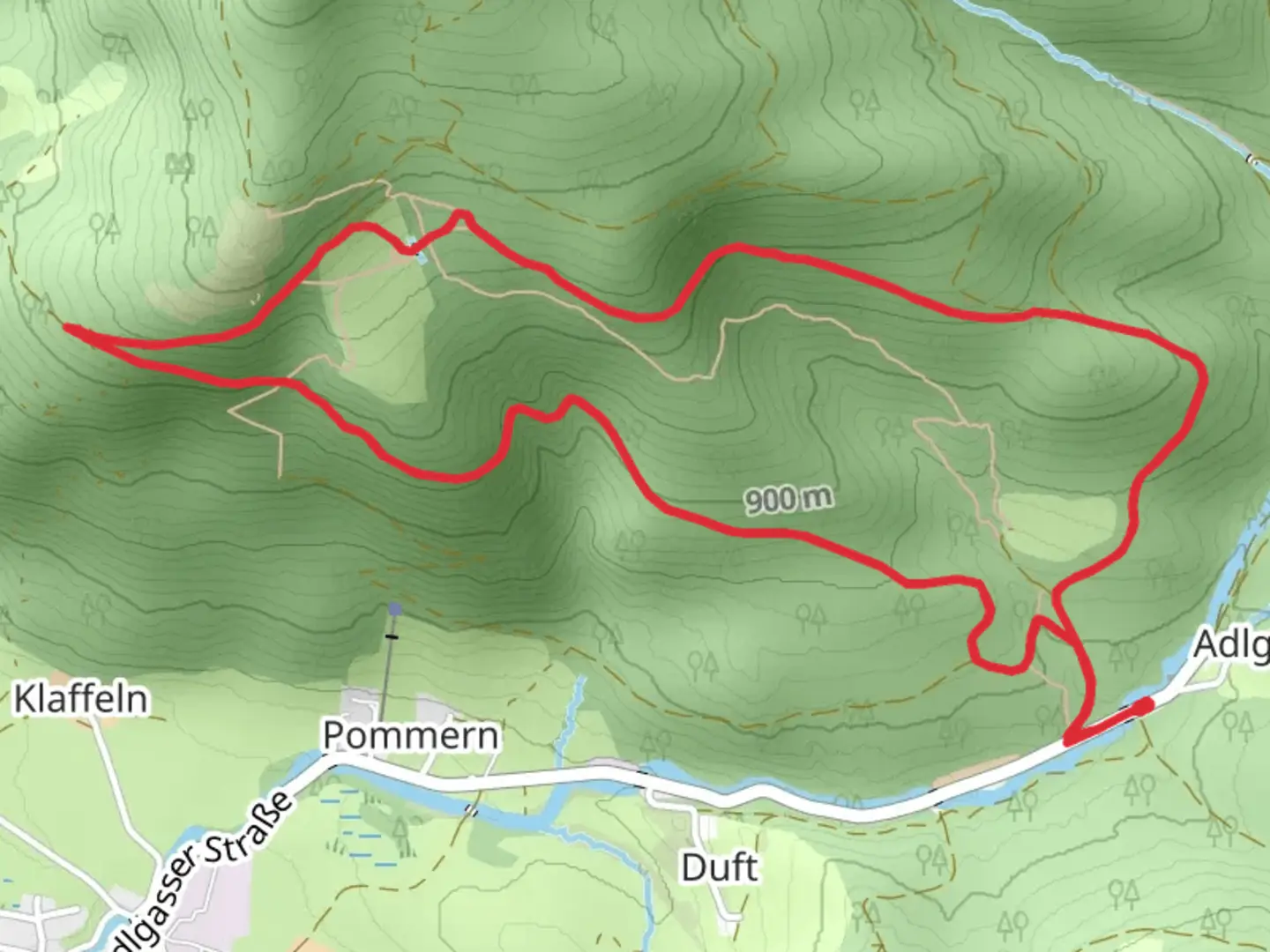
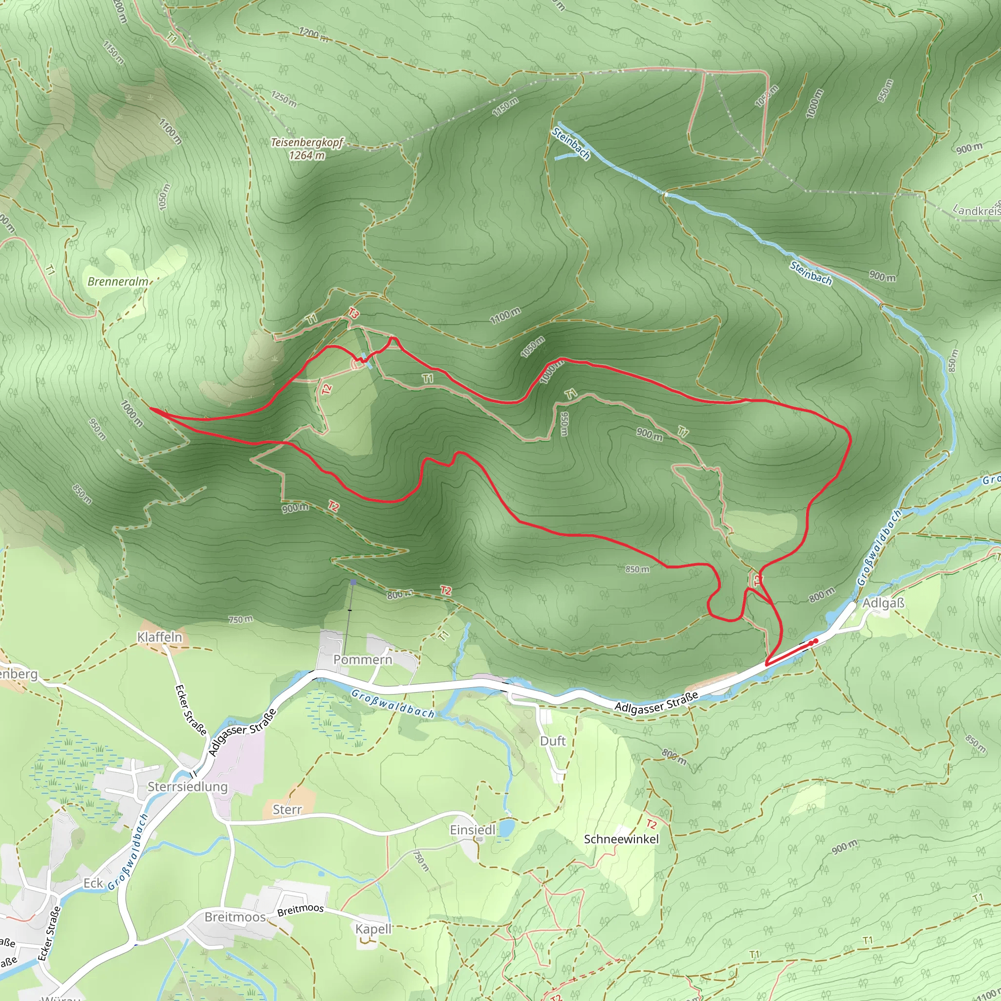
Starting near the charming town of Traunstein in Germany, the Adlgaß Loop is a delightful 7 km (4.35 miles) trail with an elevation gain of approximately 300 meters (984 feet). This loop trail offers a moderate challenge, making it suitable for hikers with some experience.
Getting There To reach the trailhead, you can either drive or use public transport. If you're driving, head towards Traunstein and follow signs to Adlgaß, where you will find parking facilities near the trailhead. For those using public transport, take a train to Traunstein station. From there, you can catch a local bus or taxi to Adlgaß.
Trail Overview The trail begins near the Adlgaß Gasthof, a well-known local inn. As you start your hike, you'll be greeted by a lush forest canopy, providing ample shade and a serene atmosphere. The initial part of the trail is relatively flat, making it a good warm-up for the more challenging sections ahead.
Key Landmarks and Nature At around the 2 km (1.24 miles) mark, you'll come across the picturesque Falkenstein Chapel. This small, historic chapel is a great spot to take a short break and enjoy the peaceful surroundings. Continuing on, the trail starts to ascend more steeply, leading you through dense forests and past several small streams.
Wildlife and Flora The Adlgaß Loop is home to a variety of wildlife, including deer, foxes, and numerous bird species. Keep an eye out for the vibrant European robin and the elusive Eurasian jay. The flora is equally impressive, with a mix of deciduous and coniferous trees, as well as seasonal wildflowers that add a splash of color to the landscape.
Elevation Gain and Terrain As you approach the halfway point, the trail reaches its highest elevation, offering stunning views of the surrounding Bavarian Alps. The elevation gain of 300 meters (984 feet) is spread out over the course of the hike, with the steepest sections occurring between the 3 km (1.86 miles) and 4 km (2.48 miles) marks. The terrain varies from well-trodden paths to rocky sections, so sturdy hiking boots are recommended.
Historical Significance The region around Traunstein has a rich history dating back to medieval times. The Falkenstein Chapel, for instance, has been a site of pilgrimage for centuries. The area was also historically significant for salt mining, which played a crucial role in the local economy.
Navigation To ensure you stay on track, it's advisable to use a reliable navigation tool like HiiKER. The app provides detailed maps and real-time updates, making it easier to navigate the various twists and turns of the trail.
Final Stretch The final section of the trail descends gradually, leading you back to the starting point near the Adlgaß Gasthof. This part of the hike offers a gentle cooldown, with more opportunities to enjoy the tranquil forest setting.
Whether you're a seasoned hiker or looking to challenge yourself with a moderately difficult trail, the Adlgaß Loop offers a rewarding experience filled with natural beauty, historical landmarks, and diverse wildlife.
What to expect?
Activity types
Comments and Reviews
User comments, reviews and discussions about the Adlgaß Loop, Germany.
4.6
average rating out of 5
5 rating(s)
